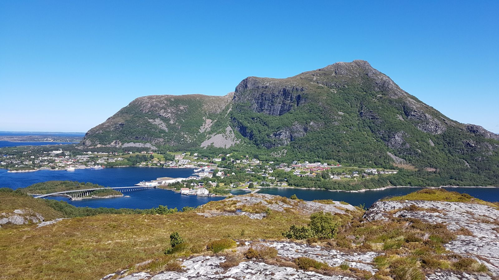
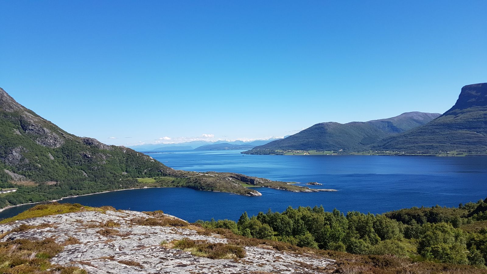
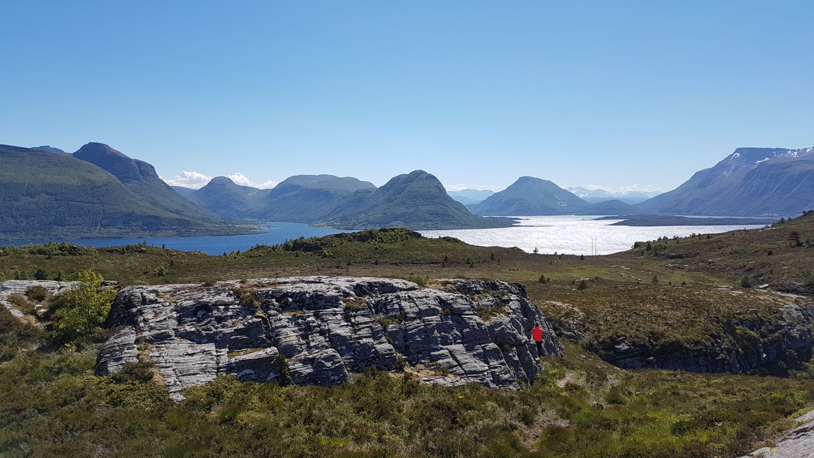
The trail to Mount Ørnekula is a short walk that is easily accessible for the majority of people. It offers a great view of the entire strait between the islands of Midøy and Otrøya, towards the centre of Midsund and over the fjords, such as Midfjorden, Vestrefjorden og Vatnefjorden.
Route description
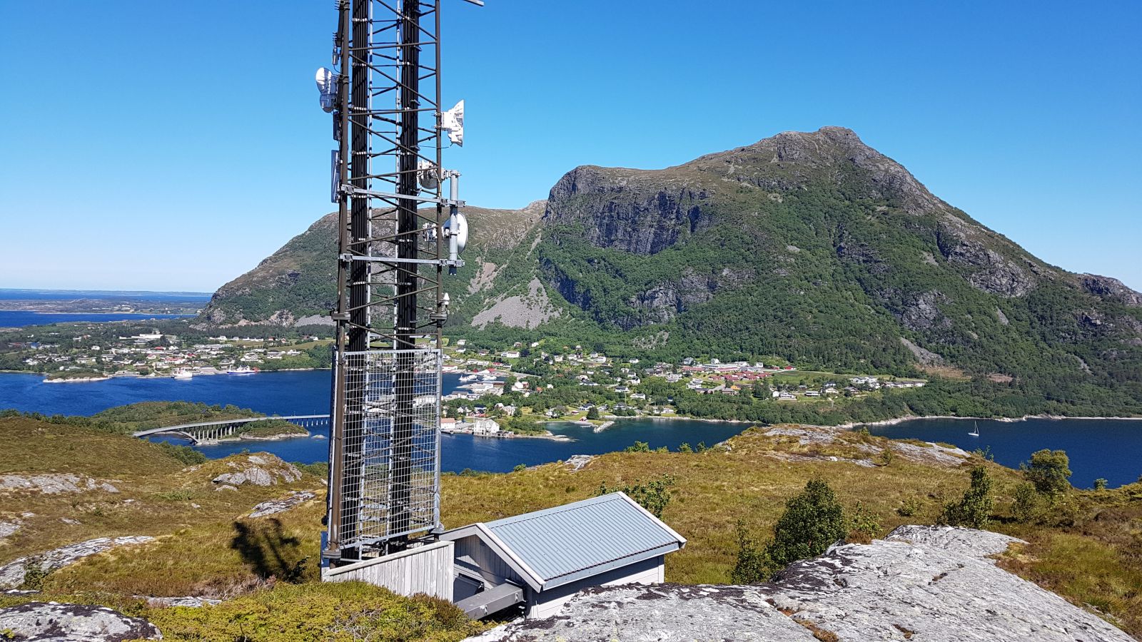
Starting from the car park, follow the clear path on the eastern side of Ørnekula which will take you to the top. The path can sometimes be wet. There is a television mast at the top.
Access and parking
There is a car park next to the junction in Ramberget, right after you cross the Midsund Bridge.