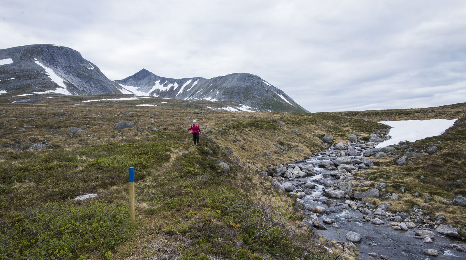
This is a lovely trail that goes through gentle terrain and offers a grand view of the magnificent mountains Skjorta and Ryssdalsnebba.
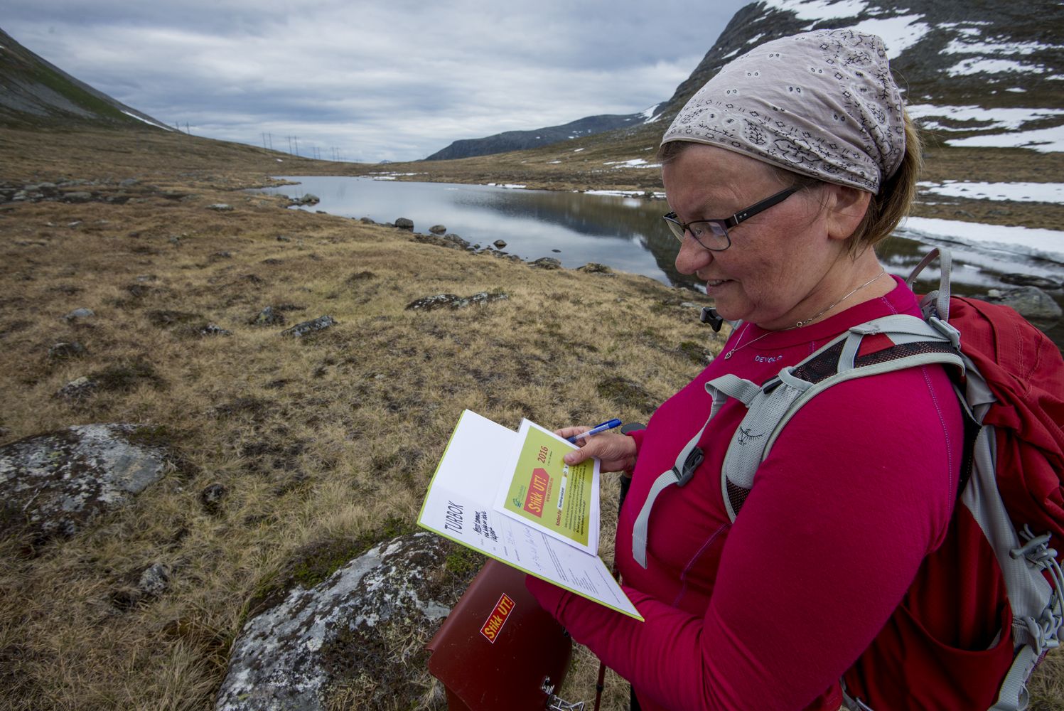
Park your car at the Gaddhaugen summer mountain farm and start walking from there following blue-marked poles right past the two first cabins until you reach a clear path. After a couple of hundred metres you will walk into the protected area Eikesdalsvatnet. Follow the path along the left side of the river (western side) called Fremste Tverrelva. It is 2.36 km to the Stikk Ut trail postbox from there. The postbox is placed near the first small lake (779 m a.s.l.) you reach in the Nordmørsskaret area.If you bring a fishing rod, try fishing in this small lake. Alternatively, you can walk further up for about 25 minutes until you reach Lake Trollbotnen at 922 m a.s.l. Here you will certainly catch fish. But remember that the lake is small!Please show your consideration for the sheep. There are well over 1000 sheep walking in the area of Kanndalen. Keep your dog on a leash!
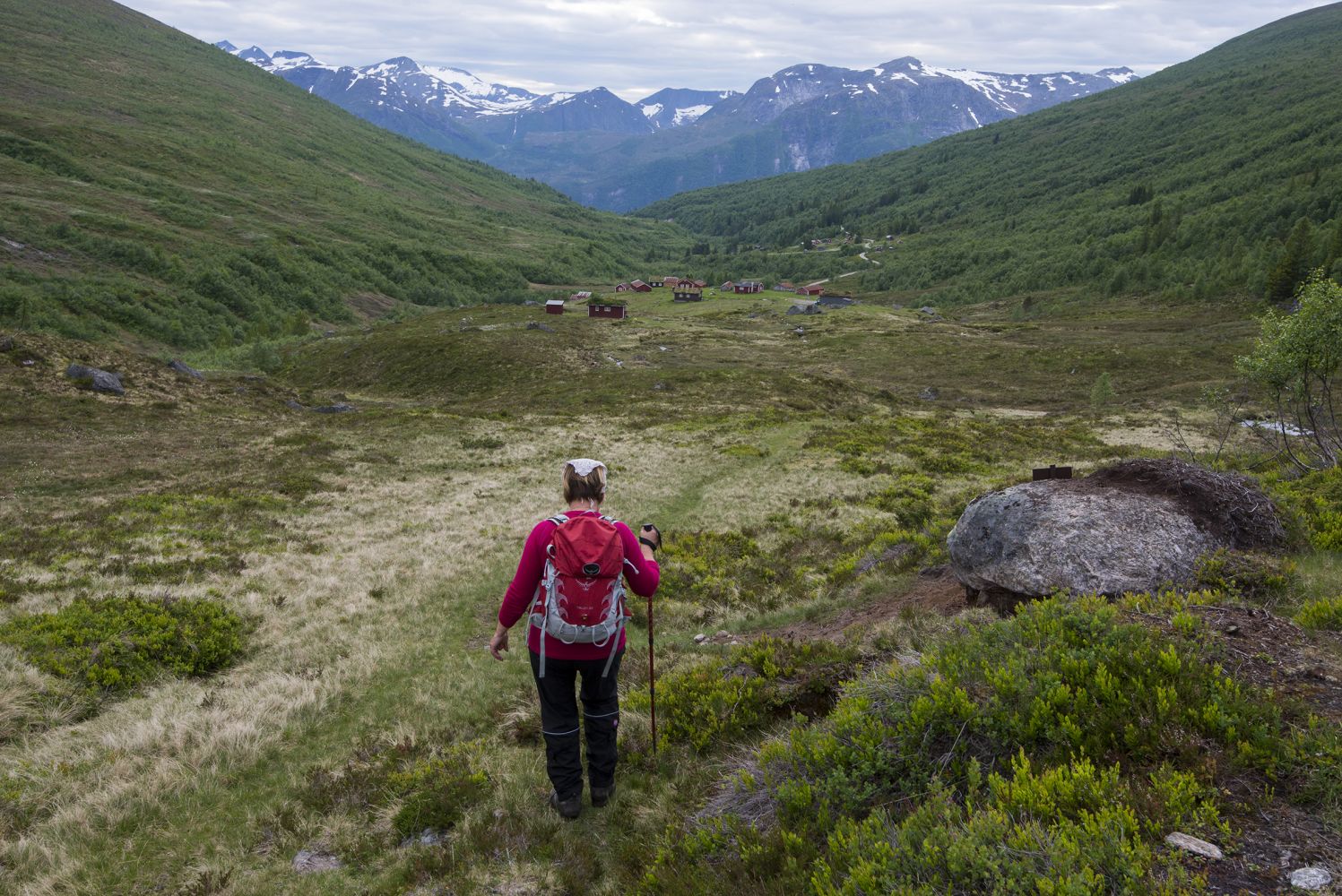
It is also nice to continue walking to the next lake in the direction of Jordalsgrenda. Alternatively, you can arrange the transportation so that each member of your group follows a different path. Some hikers like to start from Gaddhaugen on the side of Eresfjord. Others prefer to start from Jordalsgrenda.
Drive to Eresfjord and follow County Road 192 (Fv192) (the east side of the village) until you reach a junction with a sign to Grandsetra (same as the way to Kanndalen). Turn off here and follow this road straight ahead for 6.5 km past Bjørbakken and Grandsetra until you reach Kanndalen, then continue past Storstølen and drive to the end of the road where you will see a summer mountain farm called Gaddhaugen. The final 3.6 km are a toll road. Remember that you will need 30 NOK in cash.
Please also remember to close the two gates that you will pass along the road.
There is a car park at Gaddhaugen.
Duration
1 t. 45 min.

Signage
Both signed and marked
Bad bus connection between Eidsvåg and Eresfjord
Map sheet 1320 II and map sheet 1420 III
 Driving directions
 Route data
GeoJSON
Route data
GeoJSON