Nonshornet on Kvamsøya Island
Sande
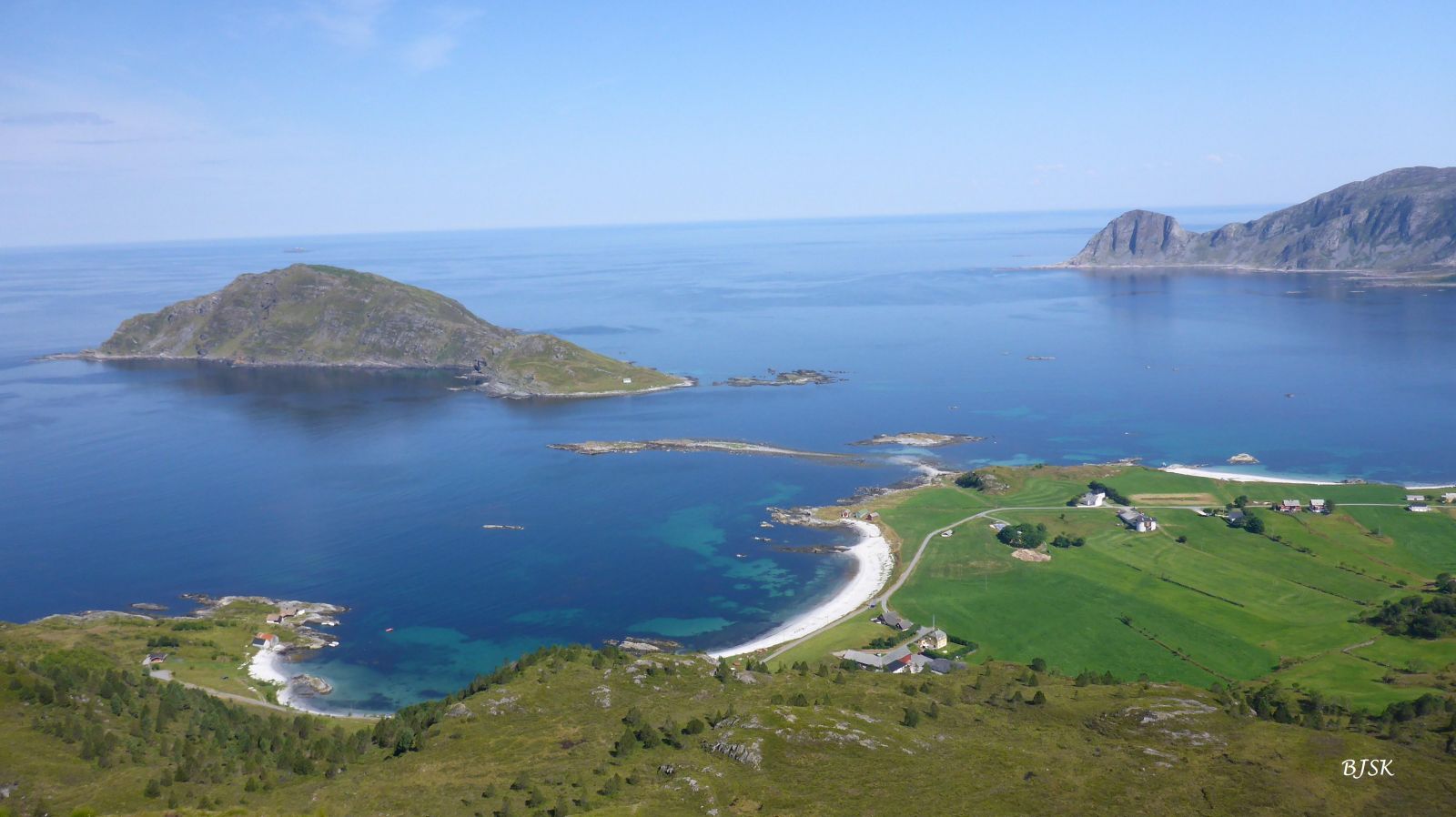
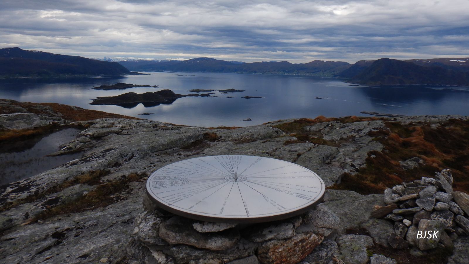
Nonshornet is the highest mountain on the island of Kvamsøya. This trail offers a scenic view of the ocean, Riste, Sandsøya, Gurskøya, Vanylven, and Stadtlandet. It can be combined with a bike ride on Kvamsøya. The trail also goes via the Djupedalen Valley with a war memorial. Fitness trail posts are located on Nonshornet and on the north side of Lake Myrvatnet.
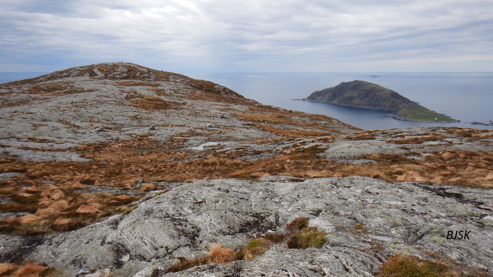
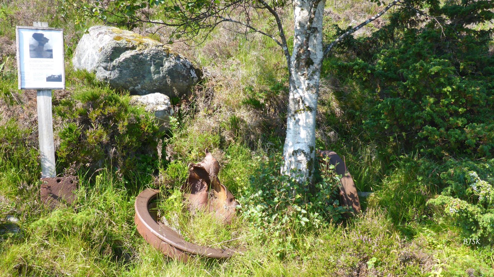
Begin by walking from the ferry terminal to the grocery store. Turn right up a footpath. When you reach the main road, you can either follow it towards the stadium bypassing the residential area or choose one of the two different routes through the residential area. The GPS file shows the one in the middle. The path begins near the stadium and runs northwest through the fields towards a gapahuk shelter owned by the Tareholmen 4H club. From there, follow the path to Lake Myrvatnet and continue west over the marshes until you reach the innermost peak, Inste Nonshornet, which is the highest point on the island. Walk from Inste Nonshornet to Ytste Nonshornet, which is the outermost peak, for about 400 m on a rocky surface. On your way back, follow the path until you reach a junction in the marshy area before Lake Myrvatnet. Turn left and go northwest. You will walk on the north side of Lake Myrvatnet. When you reach the east end of the lake, follow the sign for Djupedalen. In the Djupedalen Valley, you will see an information board and the remains left after a big explosion during World War II. Walk south from the Djupedalen Valley until you return to the original path just before the stadium.
The starting point of this trail is the ferry terminal on Kvamsøya Island. If you are coming from the north, take County Road 61 (FV61) to the Larsnes ferry terminal and park your car there. If you are coming from the south, take County Road 2 (FV2) to the Åram ferry terminal and park your car there. Take a ferry to Kvamsøya.
Duration
3 t. 10 min.

Sesong
Spring, Summer, Autumn
Signage
Both signed and marked
| Surface type |
Distance |
| Asfalt |
1,4 |
| Grus |
3 |
| Sti |
4,4 |
Make sure to check the ferry timetable beforehand. The ferries depart approximately every 2 hours. We recommend reading the information board upon arrival on Kvamsøya.
Ytre Søre Sunnmøre hiking map, M711 1119 III, Sunnmorskart.no
 Driving directions
 Route data
GeoJSON
Route data
GeoJSON