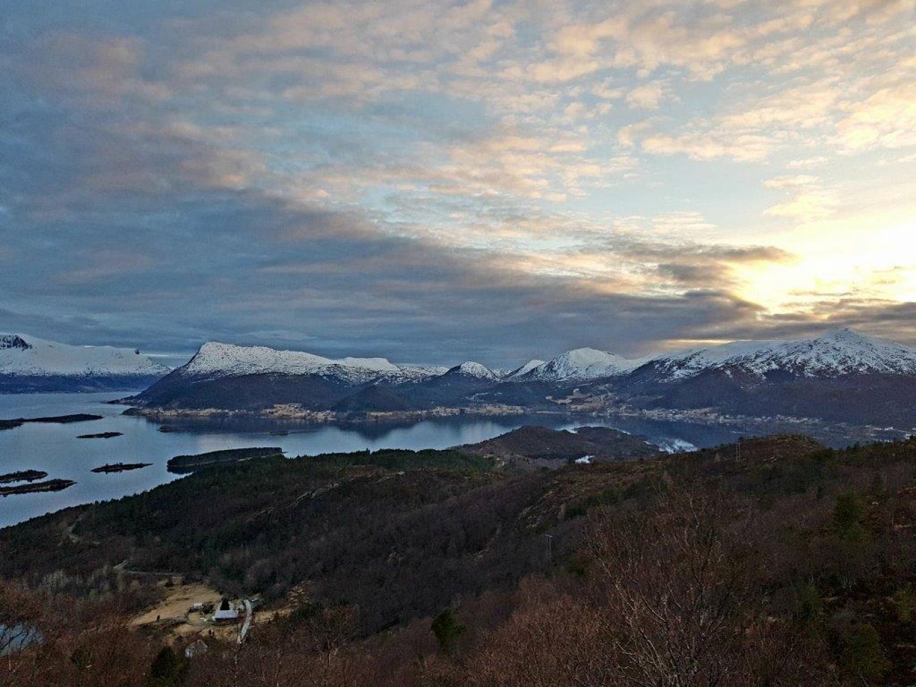
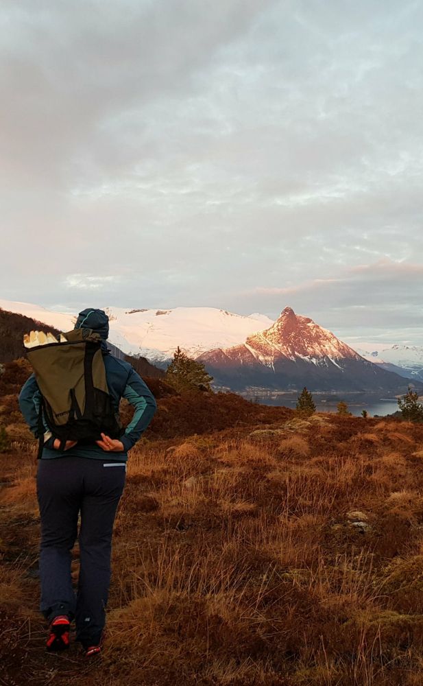
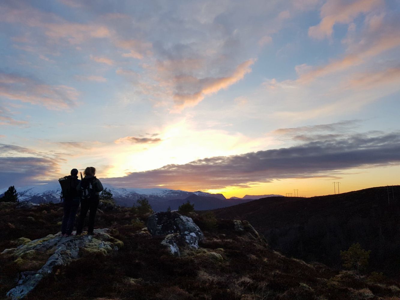
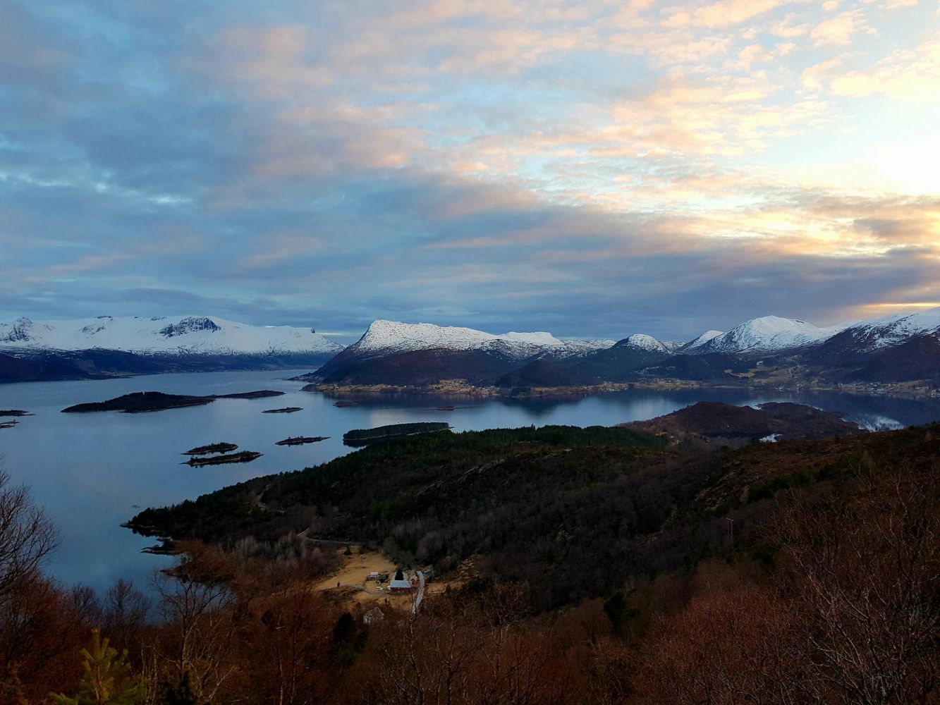
This trail is a good fit for families with children. It offers a great view over the fjords and islands in the area. This is a loop trail that covers some forest sections and rocky slopes before changing to sections of gravel road/walkway on your way back.
Route description
The path begins from Aursnesskogen, about 200 m east of the residential area in Aursneset, along Selvågvegen Road. The path goes through moderate terrain and climbs up the ridge south of Lake Selvågvatnet. Then it follows a steep cliff that takes you up to the highest point of the trail, Flatbergsheida. From there, continue down the path as it takes you through some bare rock surface and a forest section until you reach a river. Turn right and walk down along the river until you reach the Britahaugen residential area. Walk further until you reach the main road. Go over the footbridge and follow the gravel road/walkway back to Aursnesskogen.
Access and parking
From Volda/Ørsta: Follow E39 until you reach a roundabout in Furene. Turn off in the direction of Ulsteinvik and drive through the Eiksund Tunnel (RV653). Take the left turn just before the Selvåg Tunnel and drive past a residential area in Selvågen. A couple of hundred metres before you reach Aursneset, you will see a path that goes up towards Nissevegen from Aursnesskogen (Eng. the Aursnes Forest). There are a few parking spaces here.
From Hareid/Ulsteinvik/Herøy area: Drive in the direction of Volda/Ørsta (RV653) and turn off to the right towards Selvåg right after you pass the Selvåg Tunnel.
There are a few parking spaces at the starting point of the trail. It is also possible to park your car along the road turn in Aursneset which you will see before the start of the path if you are driving in the direction of Selvågen. Another option is near the Selvåg Tunnel.