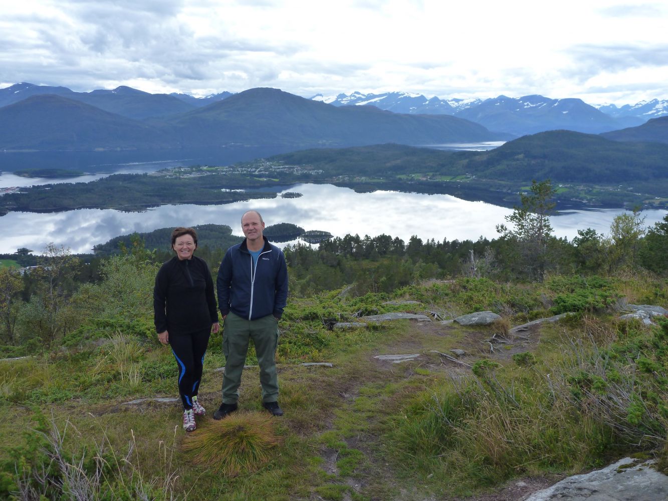
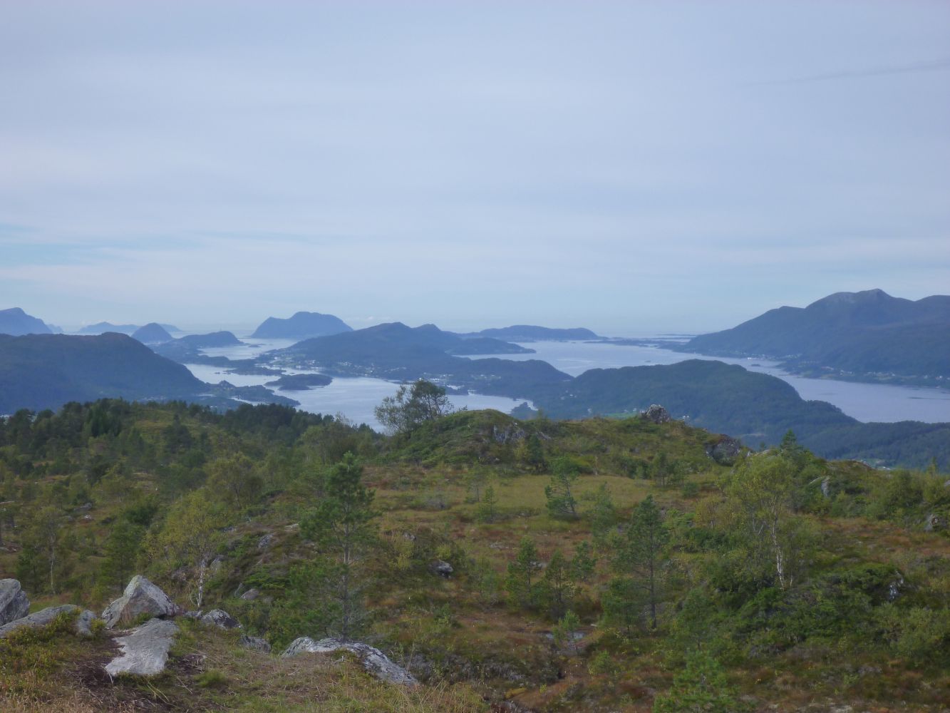
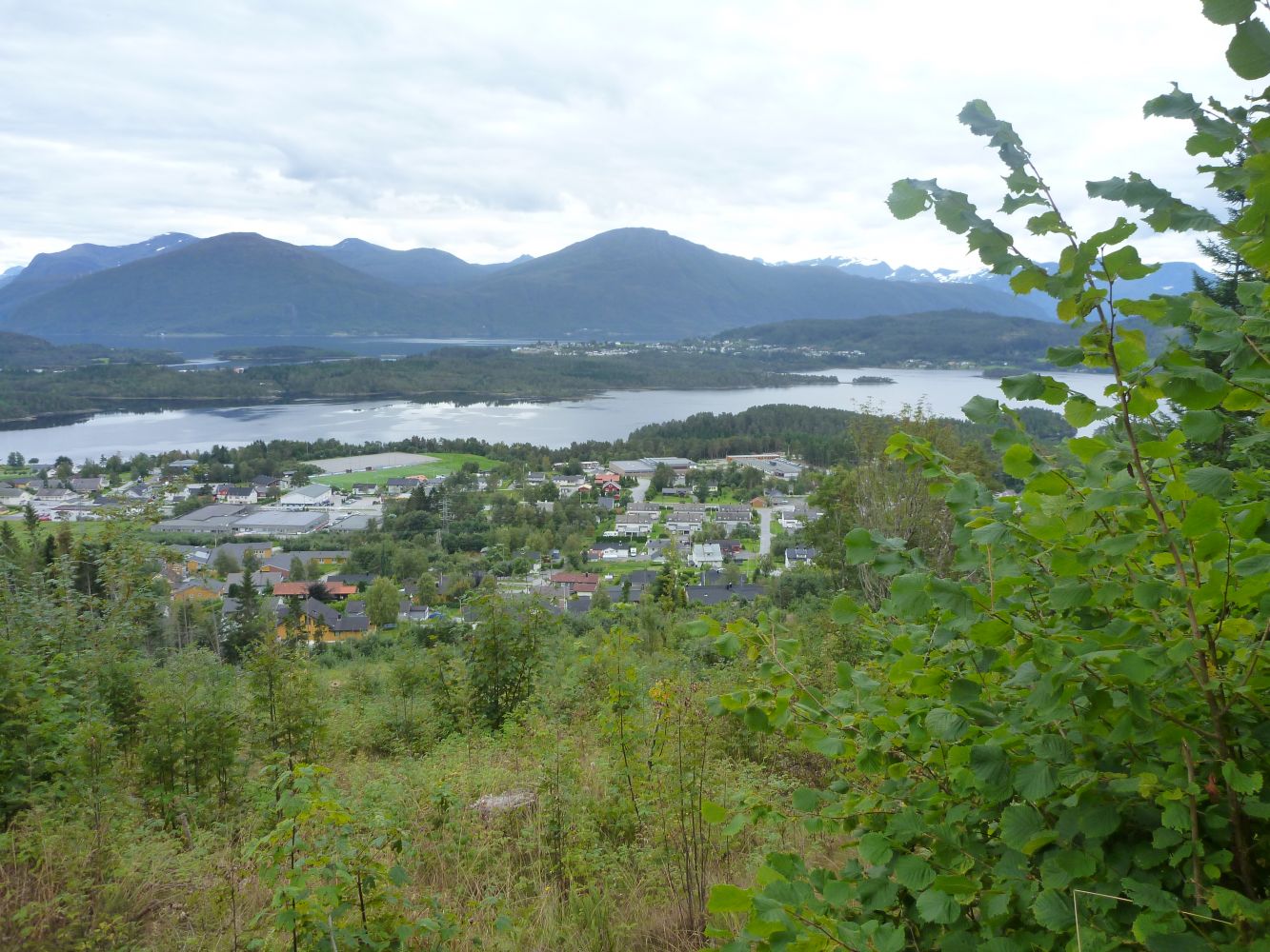
This is a nice and diverse trail with a starting point from the centre of Skodje. As the name of the trail suggests (“nihus” translates as “nine houses” from Norwegian), you will see nine houses, or nine parishes, from the top. In other words, the view from the top is wide and beautiful.
Route description
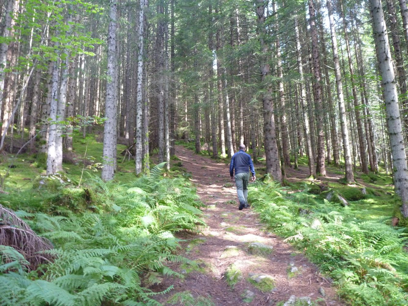
You can park your car next to the Gomerhuset Cultural Centre or at the car park on the upper side of the City Hall (Rådhus). There are two alternative routes up to and down from the destination point. The GPS track below shows a path that starts from the road called Niusvegen, but the return route follows a forest road slightly further west. If you choose to walk from Niusvegen Road, you will follow a good trail that is slightly steep at the beginning of the forest section. The path later meets a forest road which you need to follow for a little while before it turns into a path again closer to the top.
Access and parking
The trail starts from the car park near the City Hall (Rådhus) if you follow the path from Niusvegen Road. Alternatively, you can park your car next to the Gomerhuset Cultural Centre if you choose to follow a looped trail.
You can park your car next to the City Hall (Rådhus) or on the upper side of the Gomerhuset Cultural Centre.