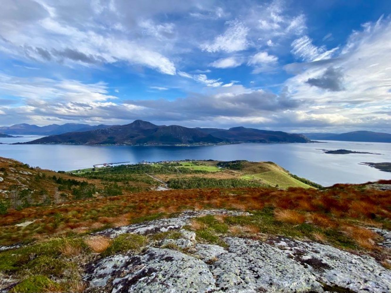
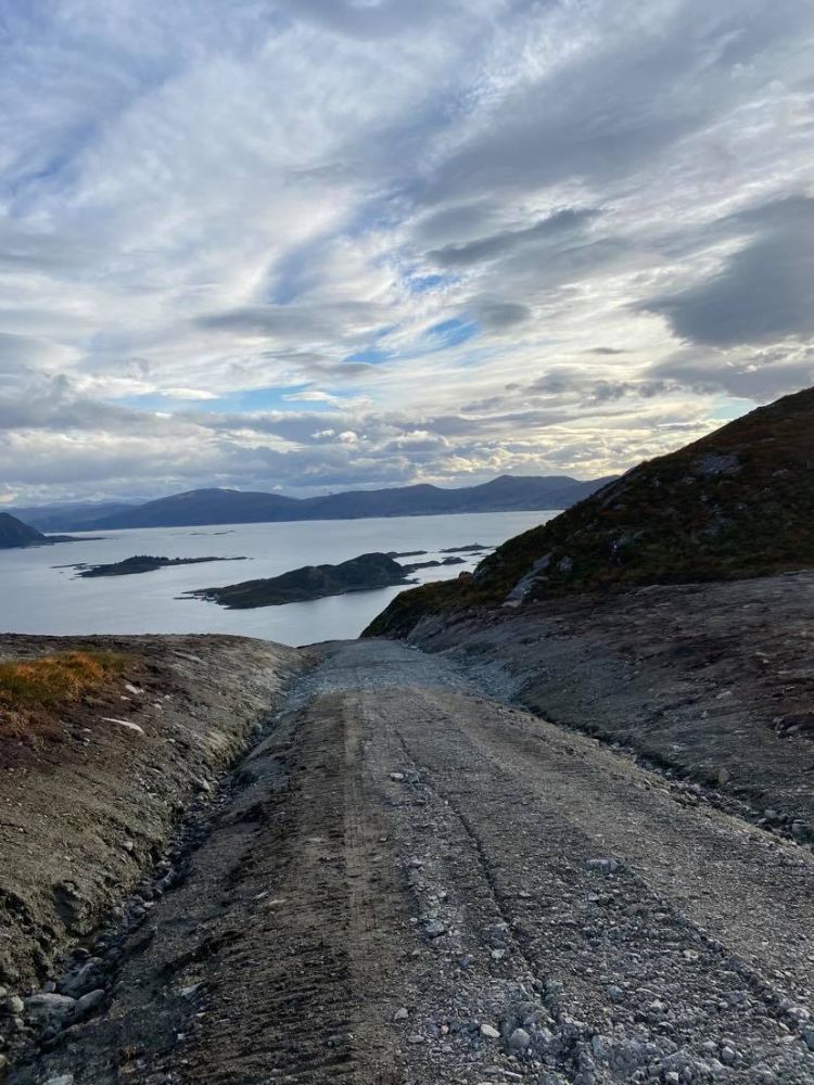
This trail starts from the ferry terminal and ends at a height of 230 metres above sea level near Lake Myravatnet. It follows a road to the sports ground and continues along a new, prepared hiking path. You will walk through the forest and enjoy a breathtaking ocean view out to Vanylvsgapet and Stadthavet. A small detour about halfway through the hike will take you to a gapahuk shelter owned by the Tareholmen 4H club.
Route description
If you come here on foot, take the footpath to the right of Coop Kvamsøy, cross the road, and continue to the left. Walk straight up the residential area. The final section here is a footpath. (If you come by car, follow the road up to the first T-junction. Turn right towards Ristesund and left after about 300 m at the sign that reads “Stadion”.) Turn left onto the county road and follow it until you reach the clubhouse (park your car on the left side of the road). Turn right towards the sports ground and follow the forest road up to the top.
Access and parking
You can park free of charge at the Kvamsøy ferry terminal or next to the clubhouse by the sports ground.