Murvika - Vågen in Skodje
Ålesund
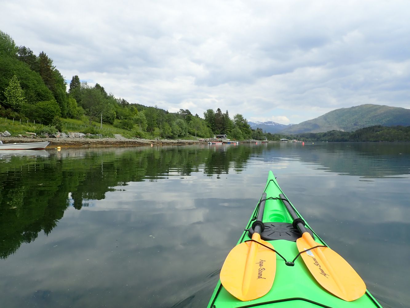
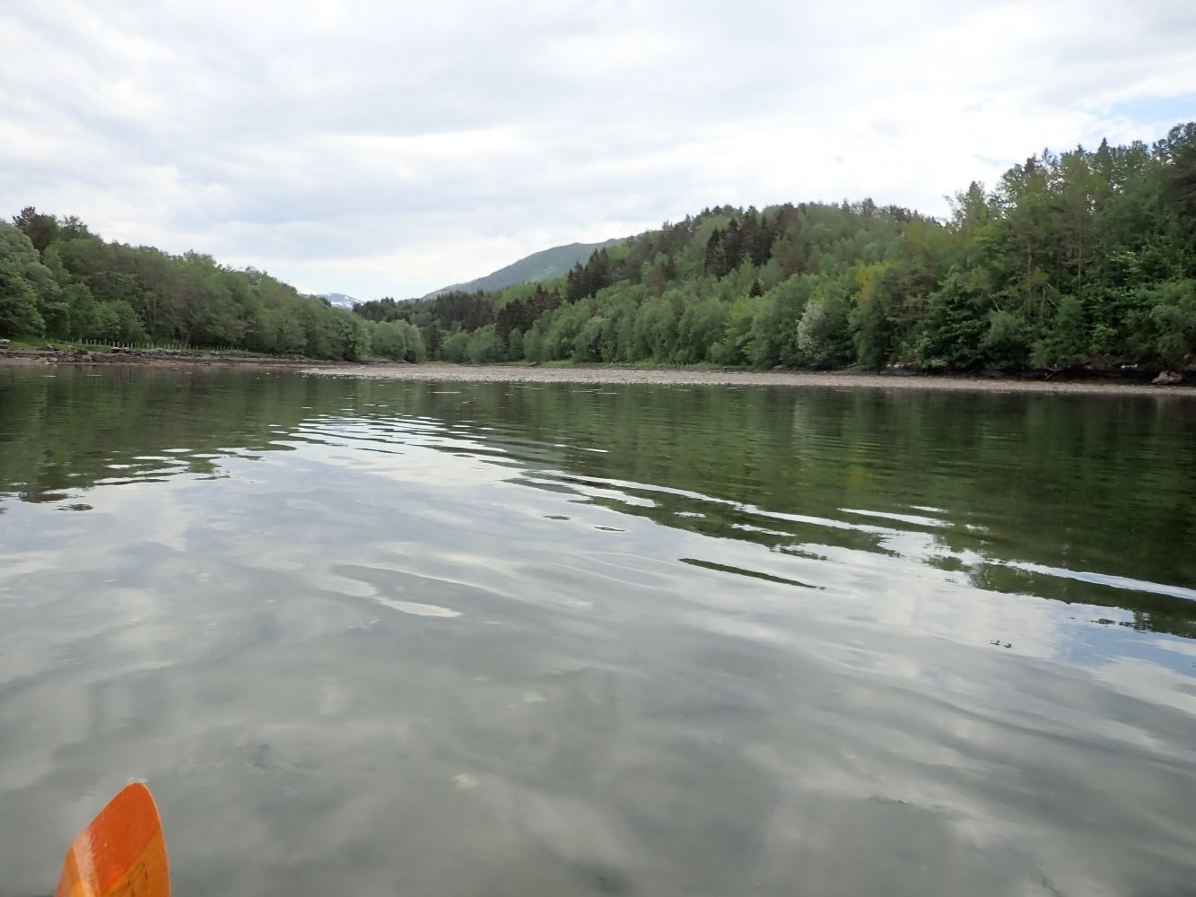
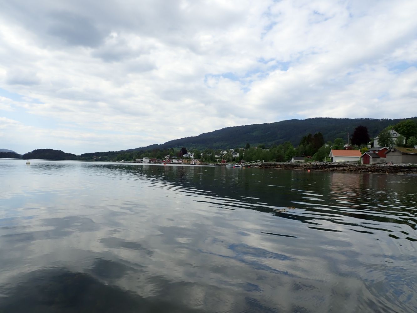
Starting from Murvika, you can paddle along the coastline to Vågen. These are relatively sheltered waters and the entire route is an easy one. There are a few places with rows of older and newer boathouses.
From the parking area at Murvika you will have to carry your kayaks 20-30 metres down to the sea. The swimming beach at Murvika has campfire pits and picnic shelters with benches, grassy fields and public toilets. Paddle along the coastline eastward. These are relatively sheltered waters and the shorelines is good, which makes it easy to come ashore along the entire route. One section of the shoreline has a row of boathouses. The bay is further out to the east.
Drive to Skodje centre. When coming from the Skodje bridge, drive past Gomerhuset and the schools and follow the signs to Murvika. Continue driving along Nedreskodjevegen and further onto the gravel road at Murvikvegen. There are no-thoroughfare signs ("gjennomkjøring forbudt") along Nedreskodjevegen, but this does not apply to traffic at Murvika beach! There is a large parking area by Murvika recreation area.
Duration
50 min.

Sesong
Spring, Summer, Autumn
This route leads through the inner part of Skodjevika and is only exposed to possible waves and wind from the southwest, which become onshore winds on this route.
 Driving directions
 Route data
GeoJSON
Route data
GeoJSON