Around Murvika and Skodjevika
Ålesund
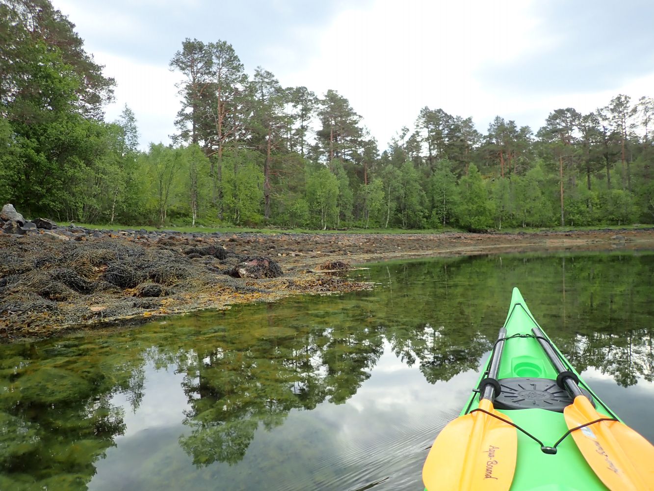
Lovely paddling route around Skodjevika with generally sheltered waters, several islands and some great places to go ashore.
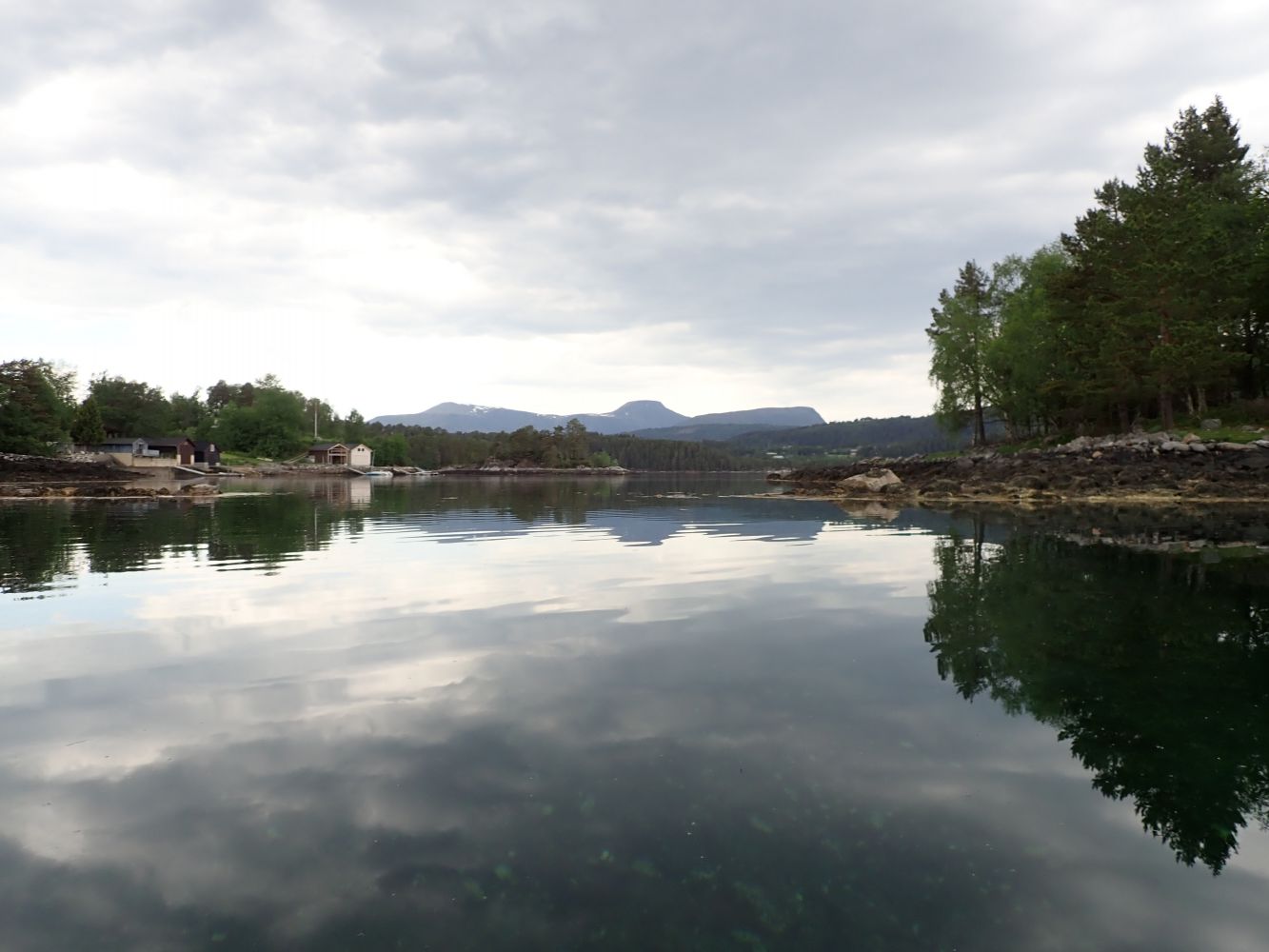
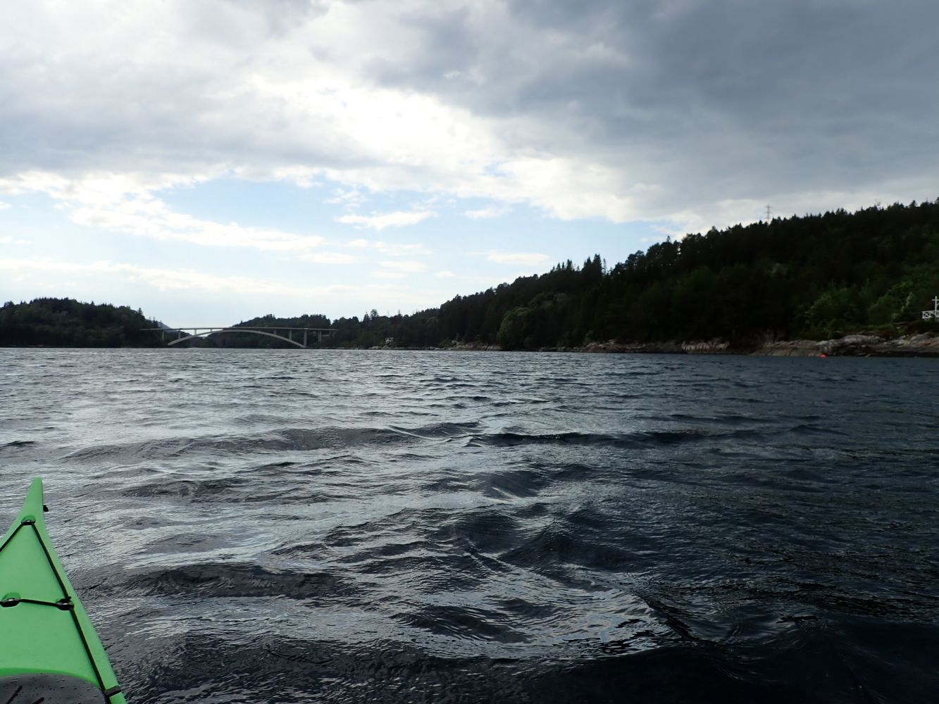
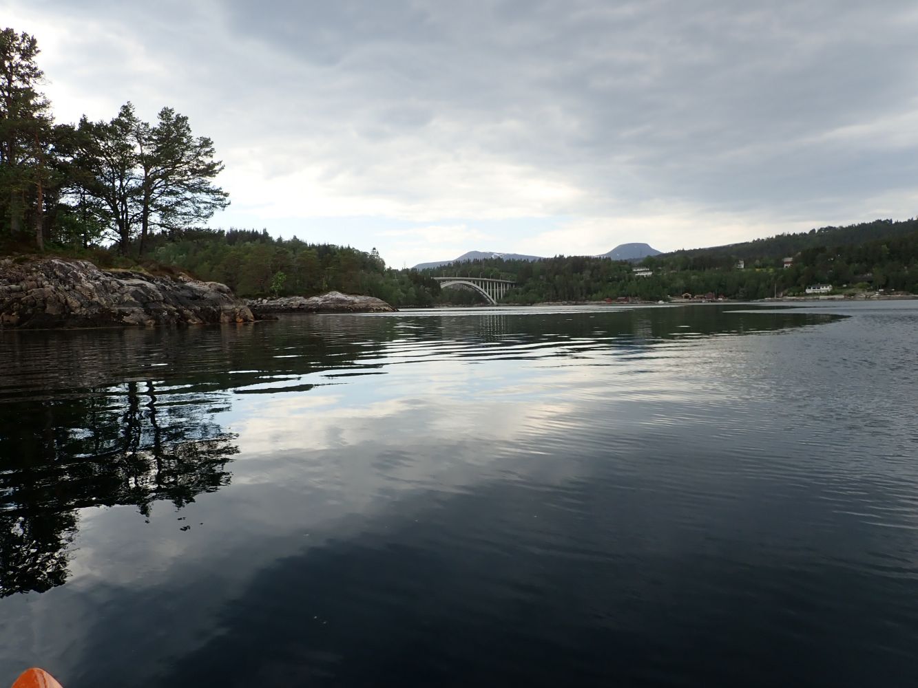
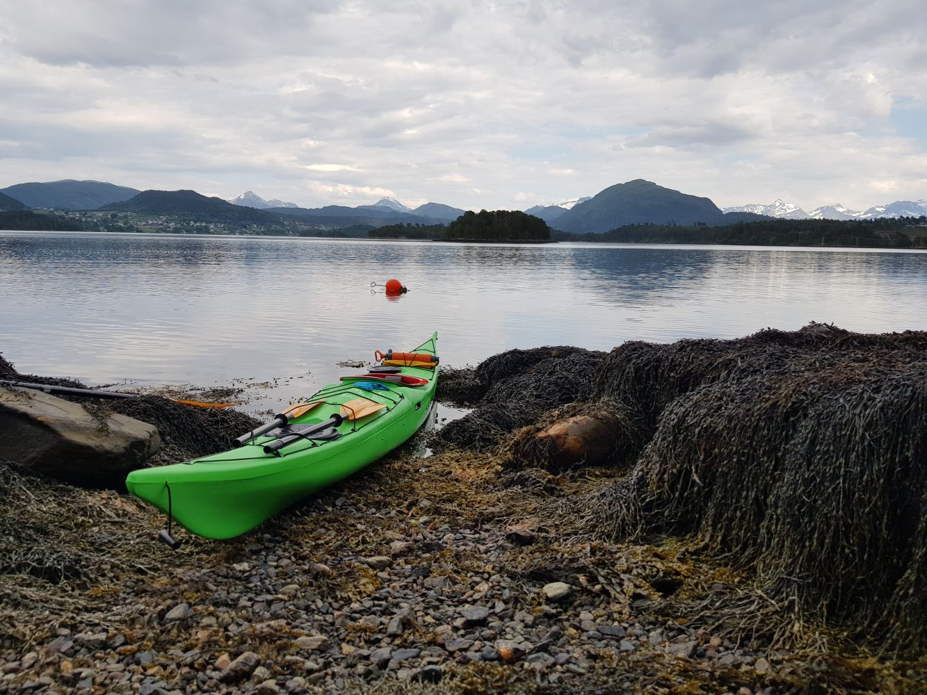
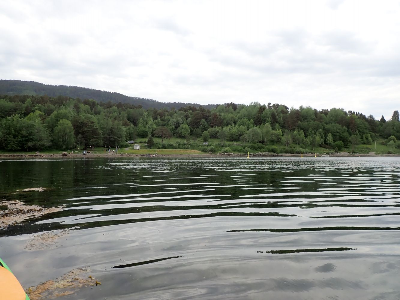
From the swimming beach at Murvika, paddle around Skodjevika. These are relatively sheltered waters with many good places to go ashore if you want a break. There are also several islands and islets in the area. The tidal current is strong at Straumen near the Skodje bridges, and westerly winds can also make the water choppy in this area. It is therefore a good idea to paddle counterclockwise so that the most exposed crossing is done first. That way the rest of the trip will be in sheltered waters.
Drive to Skodje centre. When coming from the Skodje bridge, drive past Gomerhuset and the schools and follows the signs to Murvika. Continue driving on Nedreskodjevegen and further onto the gravel road at Murvikvegen. There are 'no thoroughfare' signs (gjennomkjøring forbudt) along Nedreskodjevegen, but this does not apply to traffic in the swimming area of Murvika! There is a large parking area by Murvika recreation area.
Distance
13,49 km one way
Duration
3 t. 25 min.

Sesong
Spring, Summer, Autumn
Skodjevika Is generally sheltered. Be aware of the tidal currents at Straumen by the Skodje bridges and Apalvika bay.
 Driving directions
 Route data
GeoJSON
Route data
GeoJSON