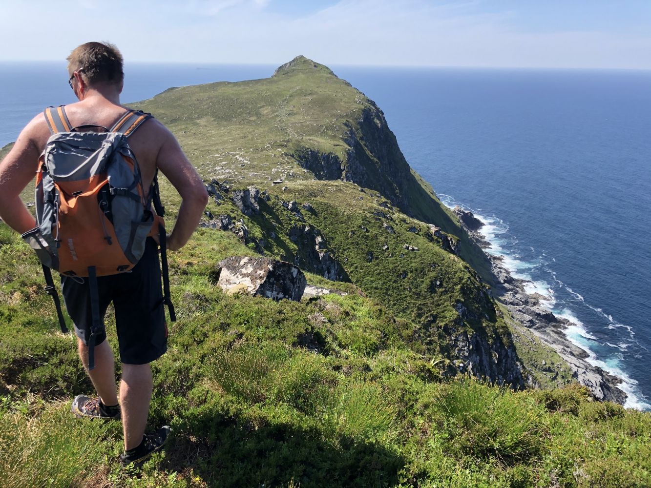
Muletua is the westernmost peak in Herøy Municipality if Skorpa is not included. The hiking destination offers a great view in all directions. You will see Svinøya Island in the west, Skorpa Island in the south, the other mountains of Herøy Municipality in the southeast, and Runde Island in the northeast.
Route description
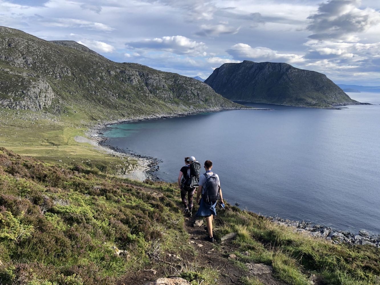
The hike starts at the highest point of the road between Kvalsvika and Mulevika. The trail runs northwest towards the peak through gentle terrain. There are several designated rest areas along the way. When you are almost halfway through, you will enter the old road that was used for transporting peat from Kvalsvika to Mulefjellet.
You will see a restored peat hut at the mountaintop as well as the remains of other peat huts and traces of peat bogs on your way up.
When you return, you can either walk over Barmen or follow the peat road. You will come down to Kvalsvika in both cases. It could also be nice to take a dip at the scenic sand beach in Mulevika at the end of your hike.
Access and parking
Follow FV654 until you reach Fosnavåg. Take FV5878 over the Nerlandsøy Bridge and turn right at the junction in Kvalsund. Drive along FV5880 to Kvalsvika and turn left towards Mulevika. At the highest point of the road, you will find a small car park on your left-hand side, 50 metres before the beginning of the path. Park your car here. If there is no parking space, drive to another car park which you will find at the end of the road, 300 metres after the beginning of the path.