Mosvarden from Rise
Hareid
The route from Rise up to Mosvarden leads through varied terrain. It starts on a farm road, continues along a forest road up to the tree line, and then past Riseseter to Mosvarden.
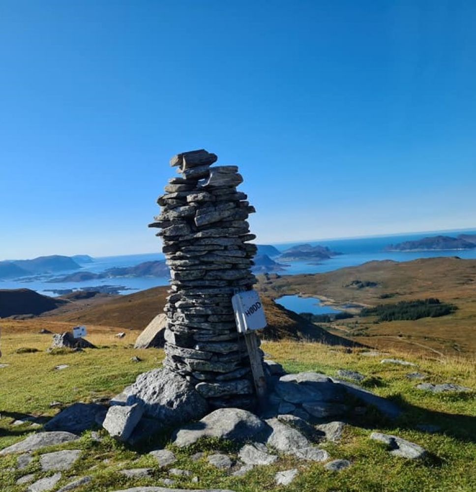
From Mosvarden you will have mountain views of Runde to the west, Stadt to the south, Brørene to the north, and the Sunnmøre Alps to the east.
From the parking area, go back to the footpath to the farm road marked "Rise blvd" and follow the road across the field and to the right after the first house. Then take a left by the second house. From here, the forest road continues up to the tree line, also called "Linja" ("the Line"). From Linja, follow the trail that starts just after the stone fence. From here, the trail leads across a few marshy areas.
You will pass near Risesetra between the cabins, but keep your distance until you find the trail again just above the pasture.
From this point, where the trail leads northeast, you can cross up to Mosvarden if the weather and ground are dry. Otherwise, this would be a very wet experience.
There is a sign indicating parking along the road, but there is a good parking area about 100 metres past the sign, just after the river, above the footpath.
Duration
3 t. 10 min.

Sesong
Spring, Summer, Autumn
Signage
No signage or markings
| Surface type |
Distance |
| Asfalt |
0,5 |
| Grus |
1,5 |
| Sti |
3 |
There are bus stops just below the parking area on both sides of the road.
There is a rest stop just before the bridge on the forest road, nearly halfway up to the tree line.
 Driving directions
 Route data
GeoJSON
Route data
GeoJSON