Moldevatnet from Jensgurilia
Molde
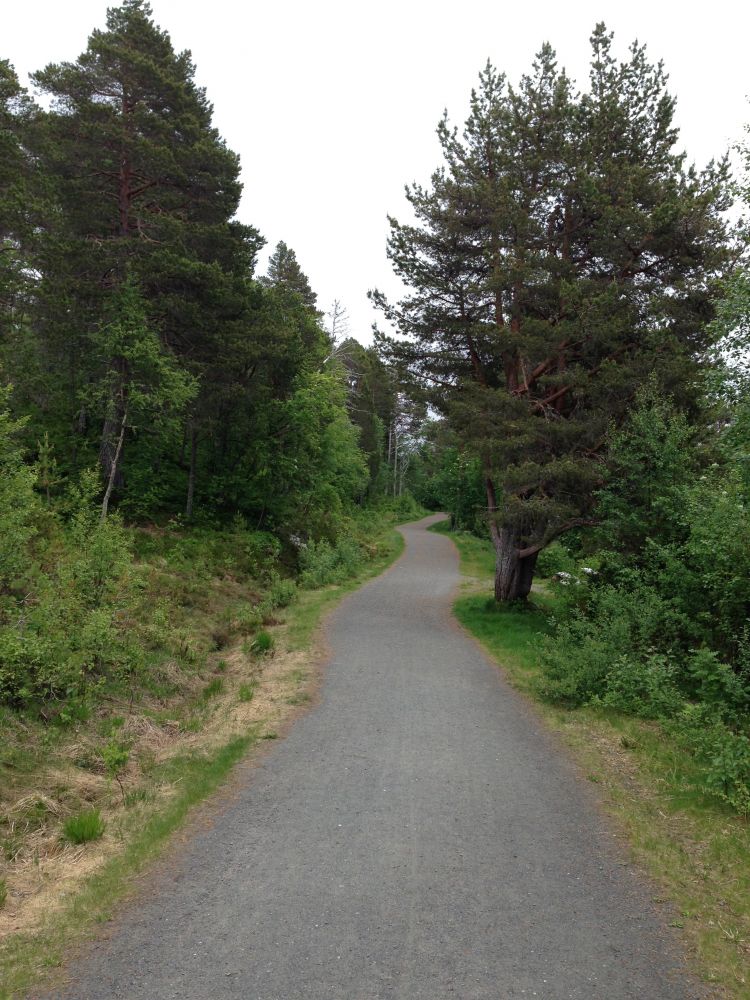
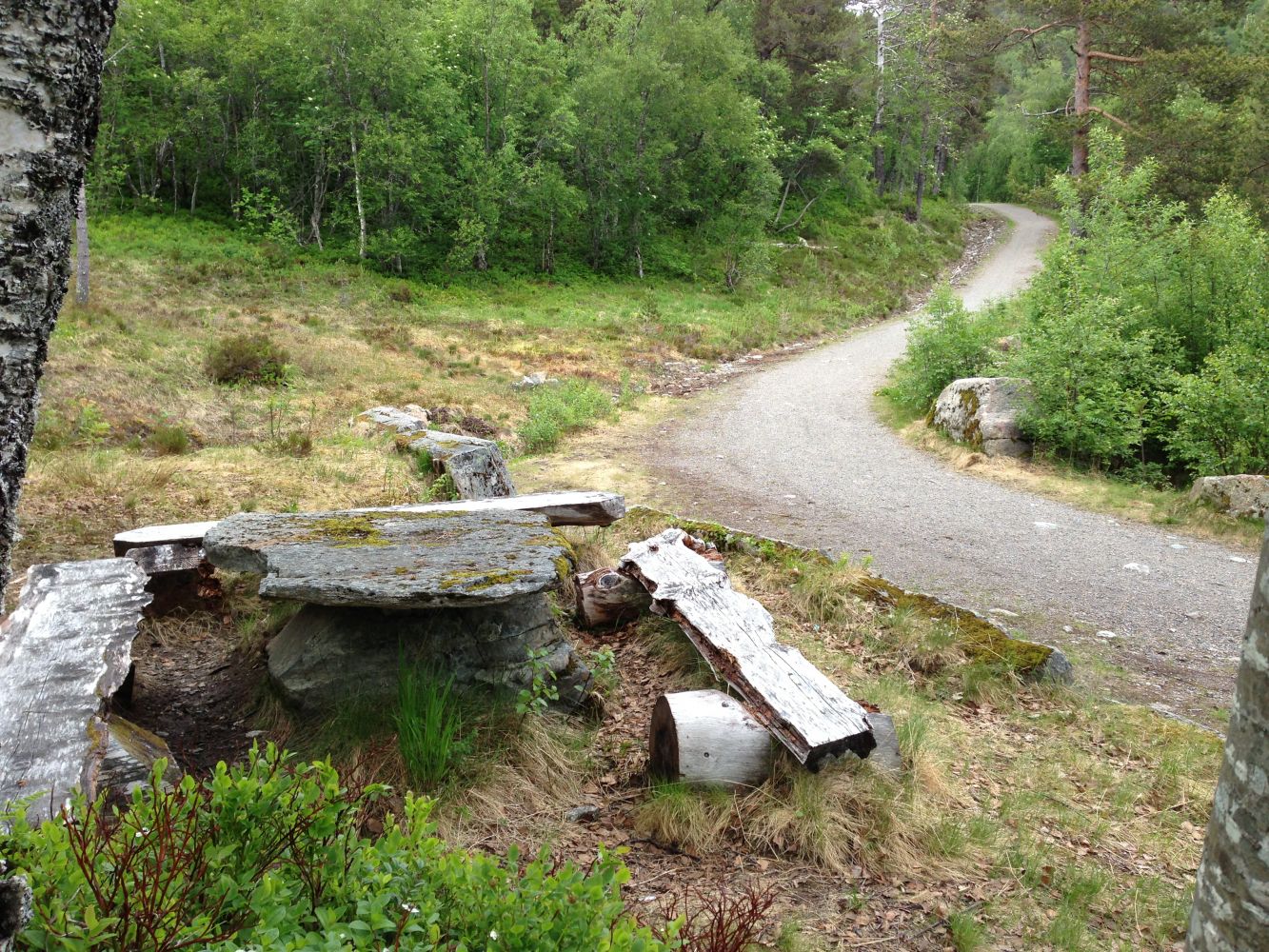
This lovely trail is suitable for people of all ages. It is also nice to ride a bicycle here or go skiing in winter. The path is solid and easy to walk on. It is a great choice for the days when the weather is nasty, but you want to go outside anyway. If the weather is good, you can stop and take a dip in Lake Øverlandsvatnet on your way back. This is why this trail is one of the most popular hiking routes in the Moldemarka area all year round.
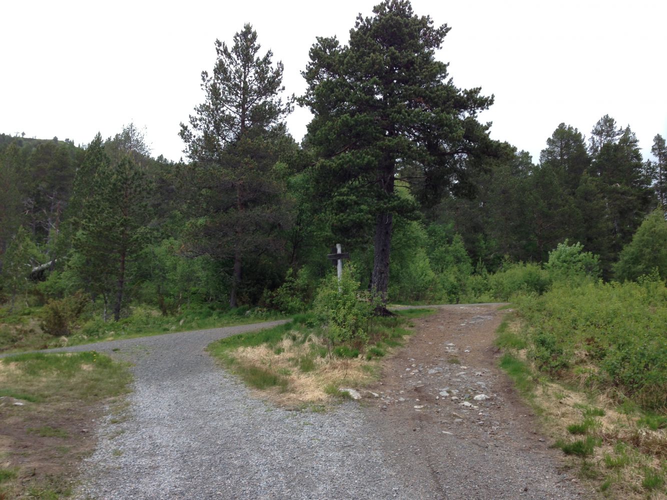
Starting from the car park, walk east towards the building of Molde waterworks facility. Walk past the boom gate and turn left at the first junction. Follow the sign to Moldedalen. After you cross the bridge over the Moldeelva river, you will see a junction 100 metres ahead of you. Turn right up the Moldedalen valley at the sign to Moldevatnet. Follow the path all the way up to the lake. The path is easy to walk on, but the final section before the lake involves some climbing. That part of the trail can be wet at times, but it is possible to push a wheelchair up the hill if your companion is fit enough.
The trail starts from the car park next to Jensgurilia Street, Nordbyen City District in Molde. You will see a sign pointing to the car park for hikers from the main road.
There is a car park for hikers next to Jensgurilia Street, Nordbyen City District in Molde.
Distance
6,45 km both ways
Duration
2 t. 5 min

Sesong
Spring, Summer, Autumn
Signage
Both signed and marked
| Surface type |
Distance |
| Asfalt |
0,2 |
The bus service from the bus terminal in Molde goes to Nordbyen.
 Driving directions
 Route data
GeoJSON
Route data
GeoJSON