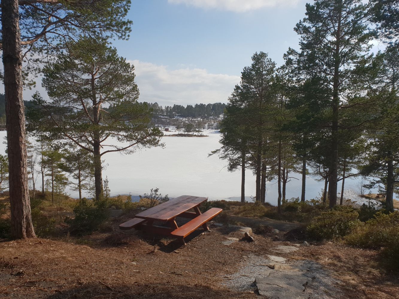
The trail runs around Lake Øverlandsvatnet. The path is solid and well-maintained, which makes it suitable for people with strollers and wheelchair users.
Route description
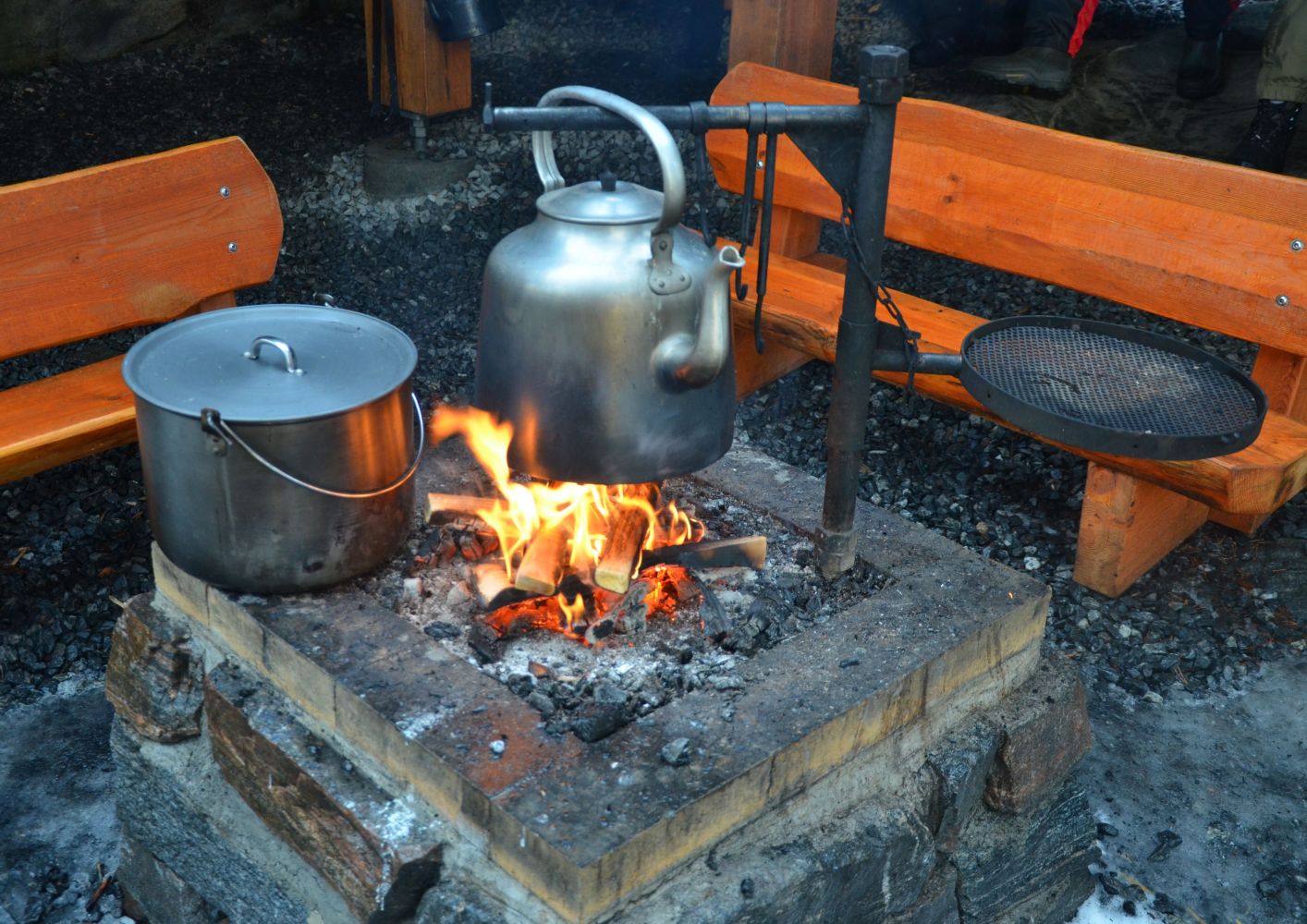
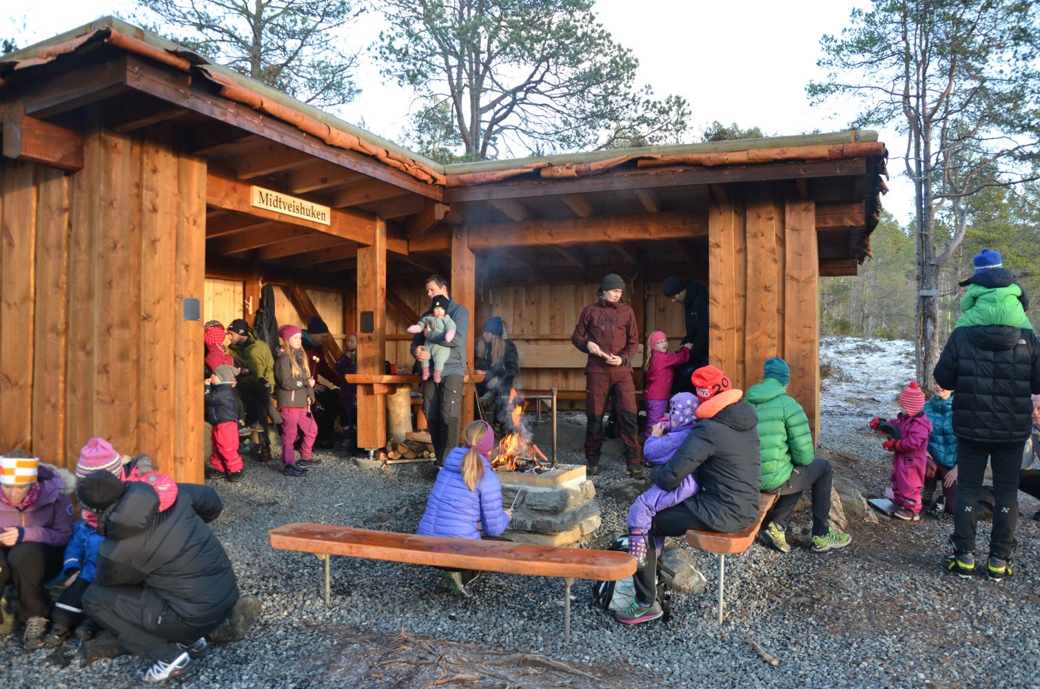
The trail starts at the hiking car park on Jensgurilia Street. Follow the gravel road from the northeast of the car park past the Hindalsrøra water plant. Walk around Lake Øverlandsvatnet in any direction. The destination point, Midtveishuken Hill, lies half way through the loop trail around the lake. You will find a Stikk Ut trail postbox with a code here. There is plenty of sitting room on Midtveishuken, including under the roof, and you can make a fire or use a barbecue place.
Access and parking
Leave your car at the hiking car park on Jensgurilia Street.
Hiking route
Green
Distance
2,47 km one way
Elevation
58 m
Duration
45 min.
Sesong
Winter, Spring, Summer, Autumn
Highest Point
266 masl
Signage
Signed
Map route
Surface type
Distance
Grus
2,45
Public transport
There is a bus connection from the centre of Molde to Nordbyen. Get off the bus in Hauglegda.