Melshornet from Ulset
Hareid
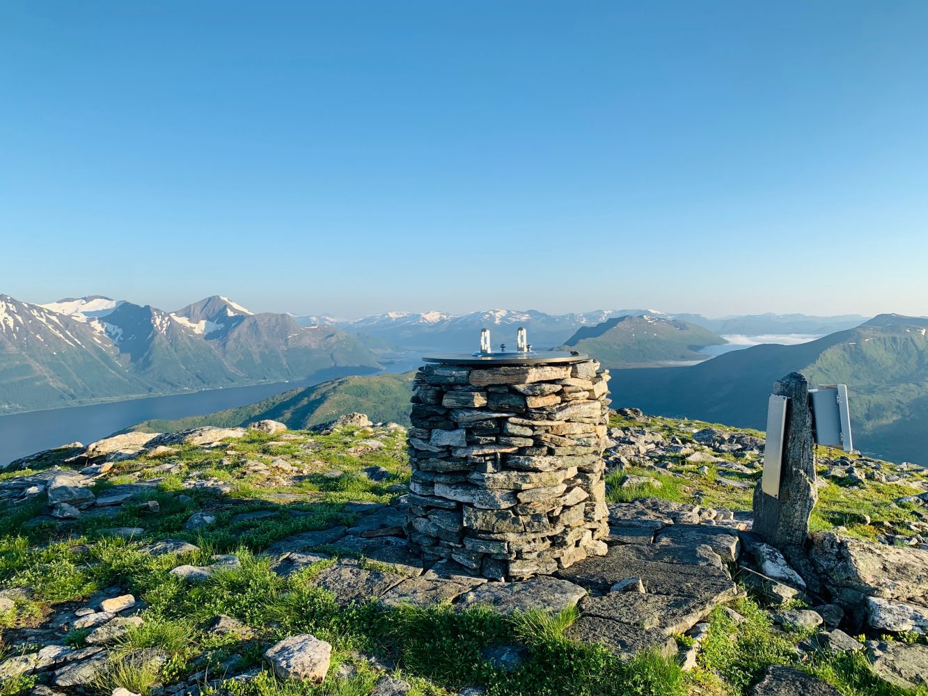
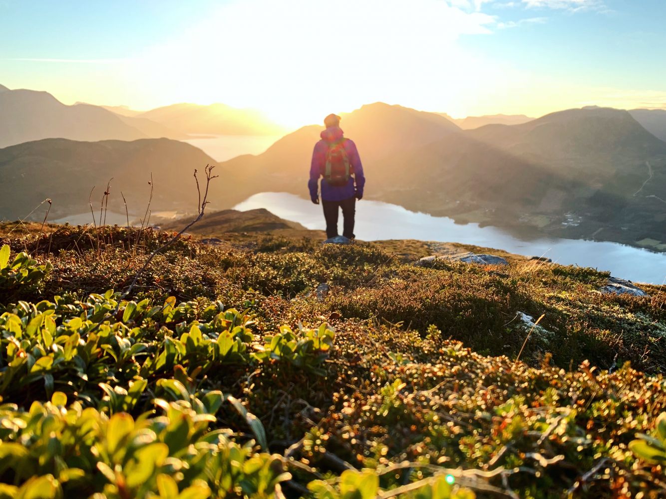
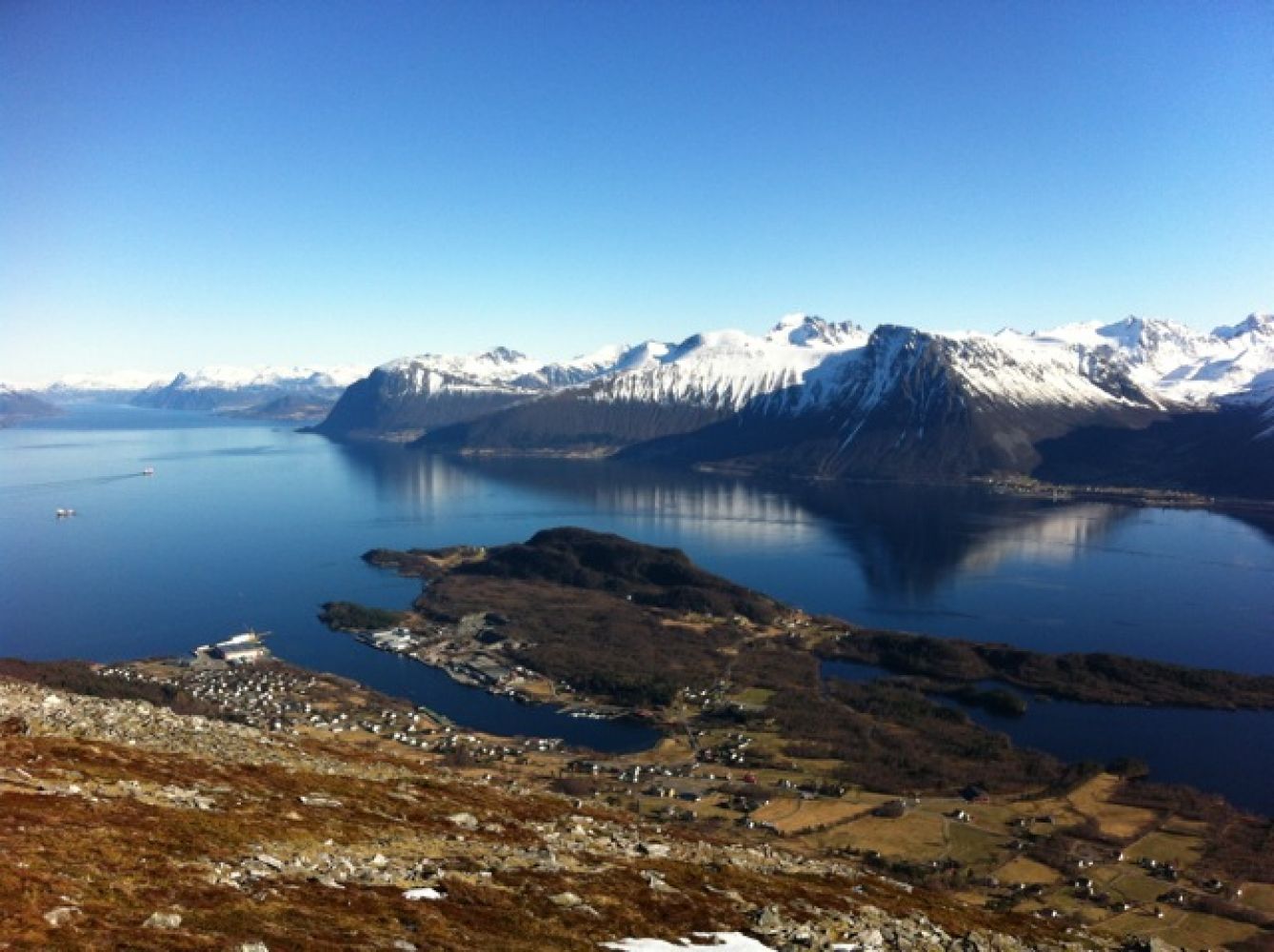
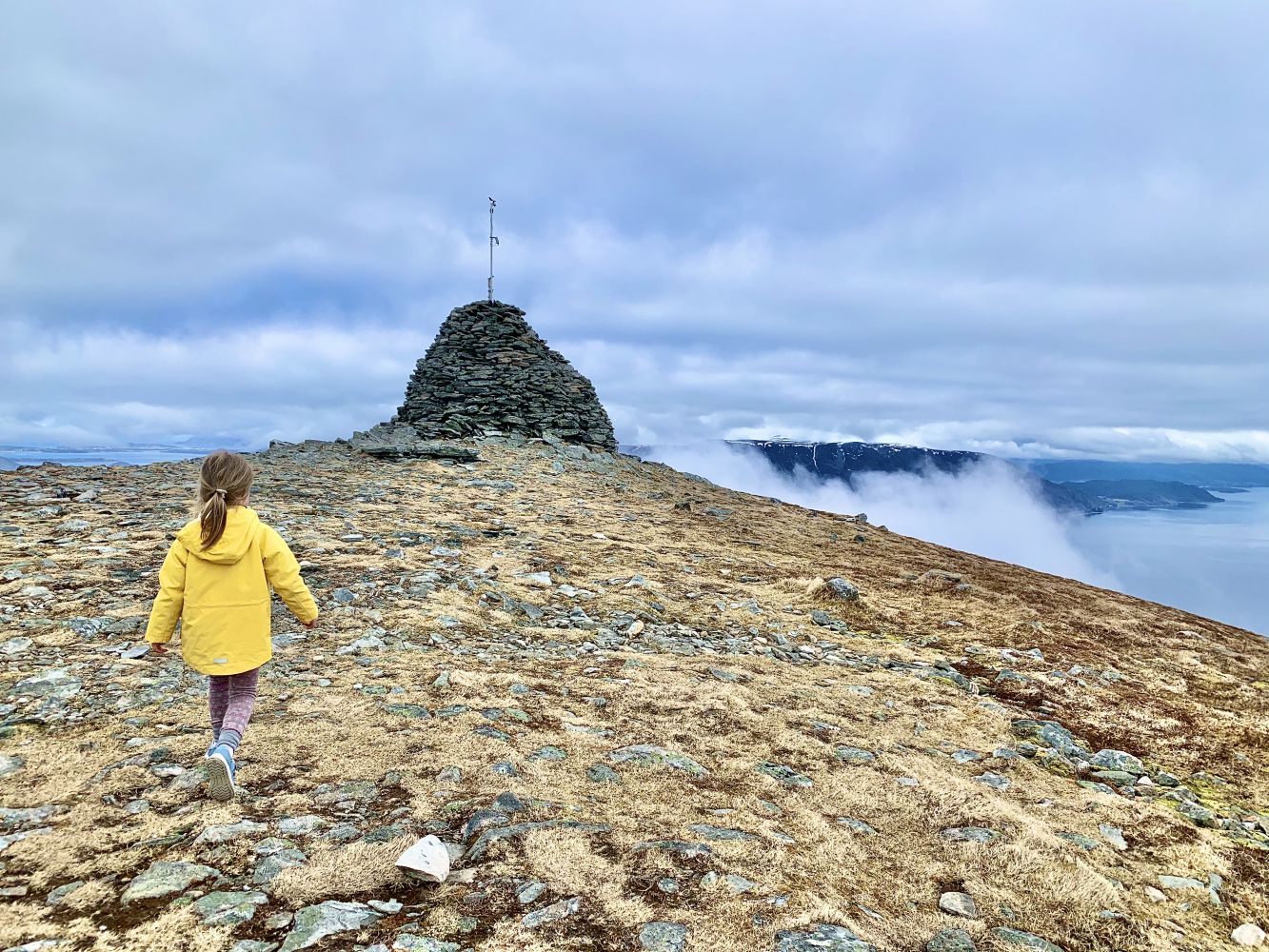
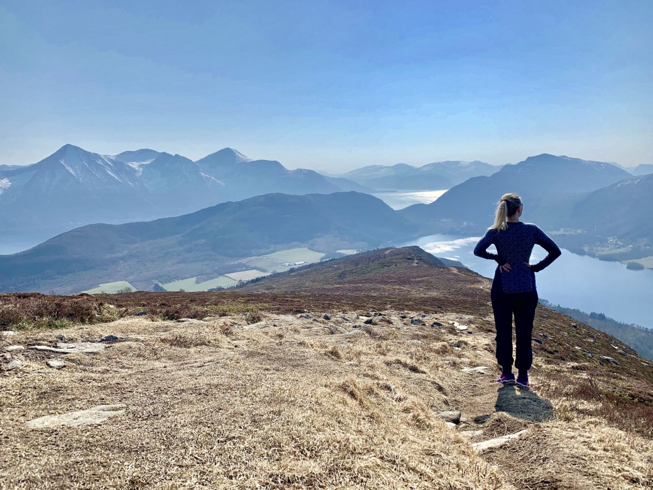
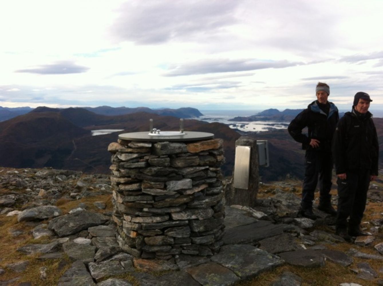
At the top, you will find beautiful, expansive views in all directions: Ulstein and the Herøy islands to the west, Breisundet fjord and Nordøya islands to the north, Storfjord and Ørskog to the east, and Vartdalsfjell and the Sunnmøre Alps to the south. An impressive toposcope displays the names of most of the mountain peaks.
At the highest point of Ulsetleitet there is a smaller parking area with a sign indicating the path to Melshornet. There is also an information board with a map and aerial photo of the hiking area and a description of the route. The first part of the route leads along a forest road, followed by a good trail with a few soggy sections in between. Along the ridge to the top, the trail is nice and dry. On the last part of the ascent, the trail becomes rocky.
From the Hareid ferry port, head towards Hjørungavåg. Drive about 8 km to Ulsetvegen. Parking to the right of Ulsetleitet, with space for 4-5 cars. Due to farming operations in the area, do not park on the side of the road.