The route to Melshornet and onward is a great hike with no difficult stretches and with a moderate incline. The hike starts along a forest road and continues on a wide and clearly visible path. The last part leading up to the top is rocky. The trail down Litlehornet and Ovrannakken may have some wet sections. You will need a car to reach both the beginning and end of the trail.
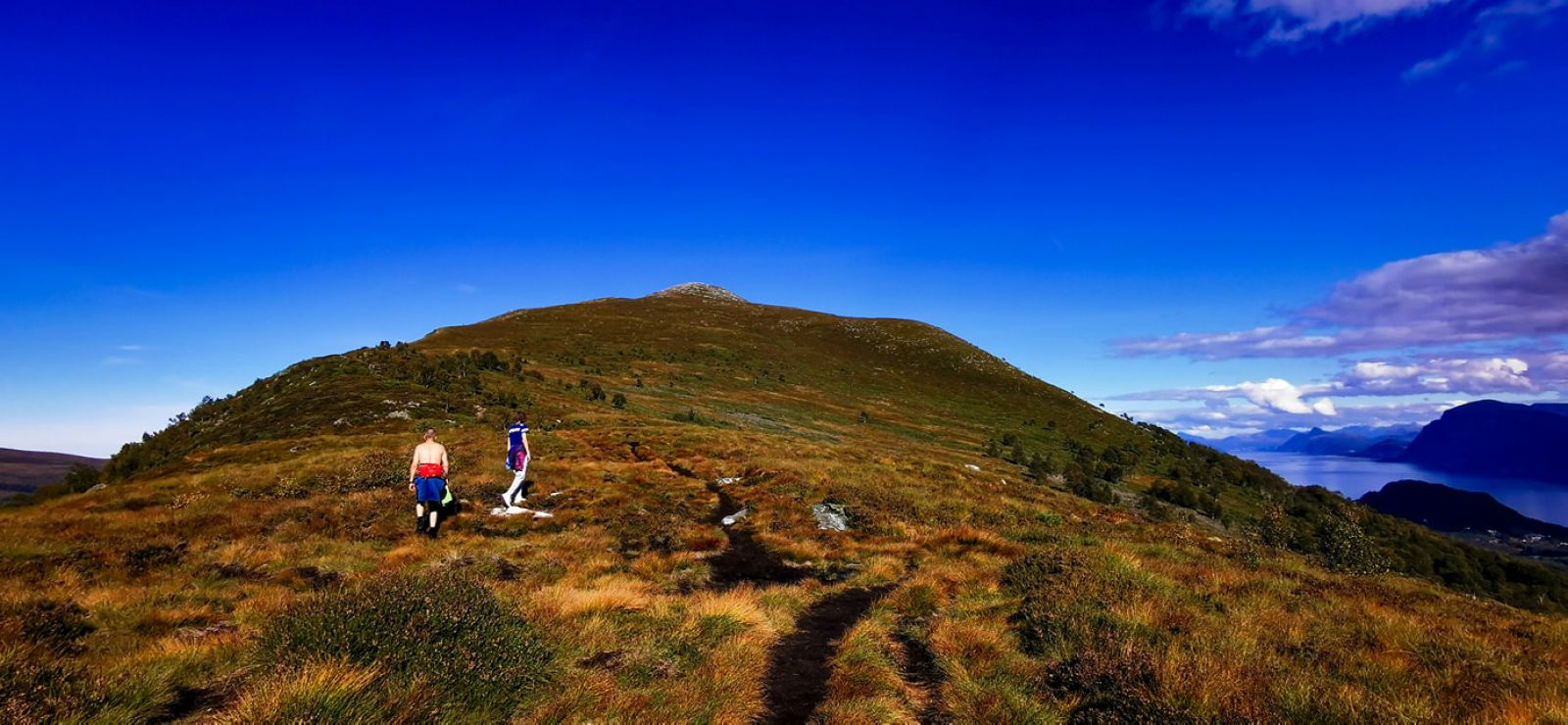
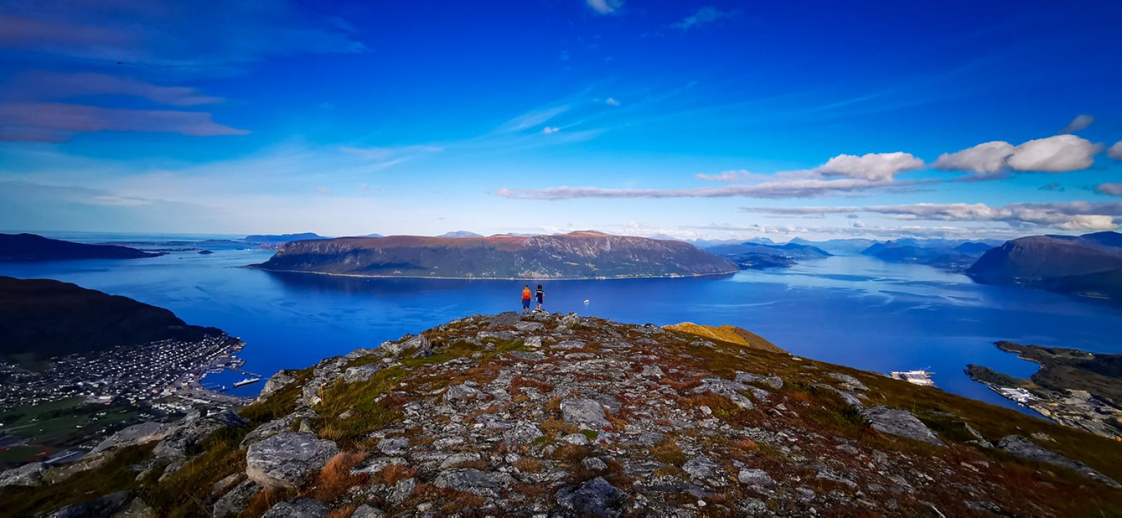
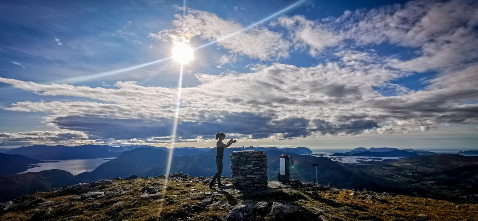
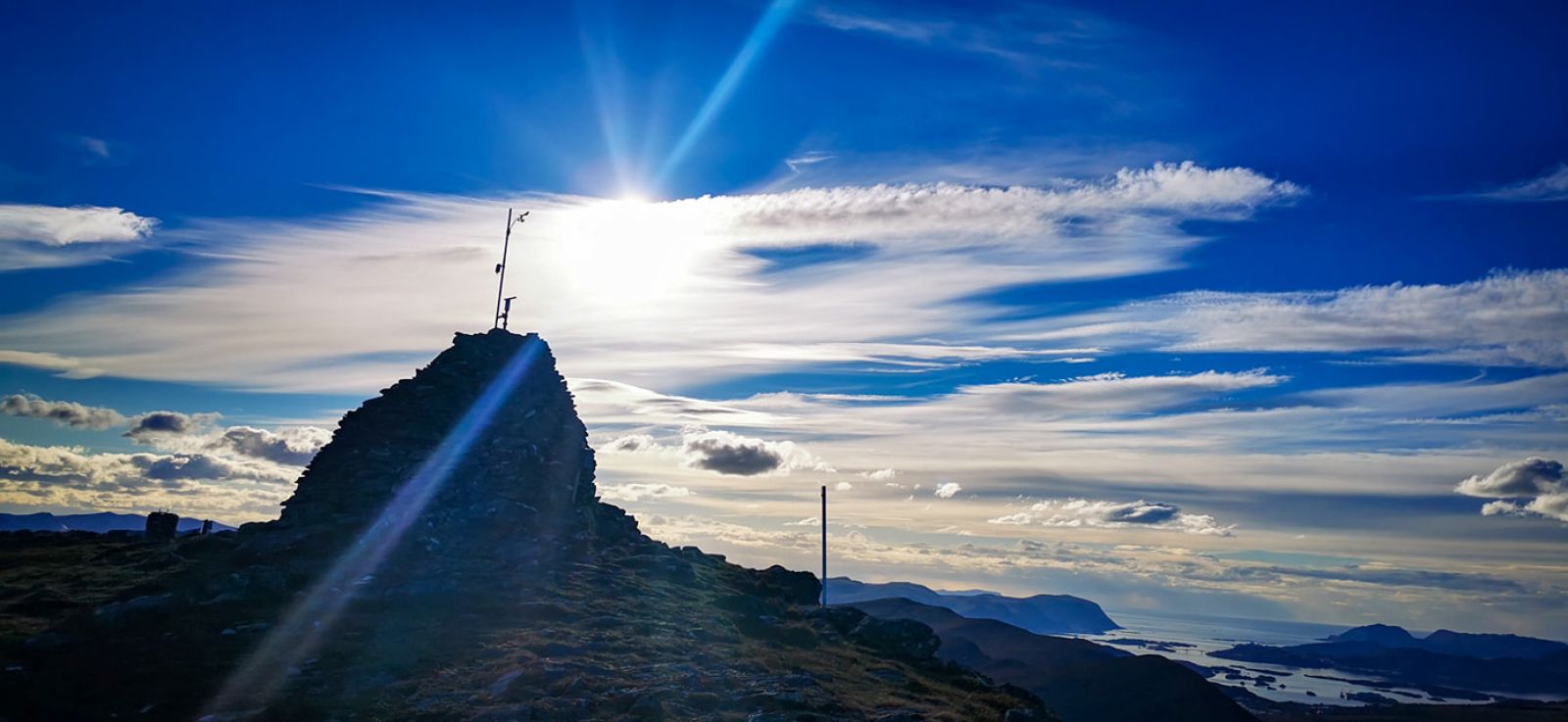
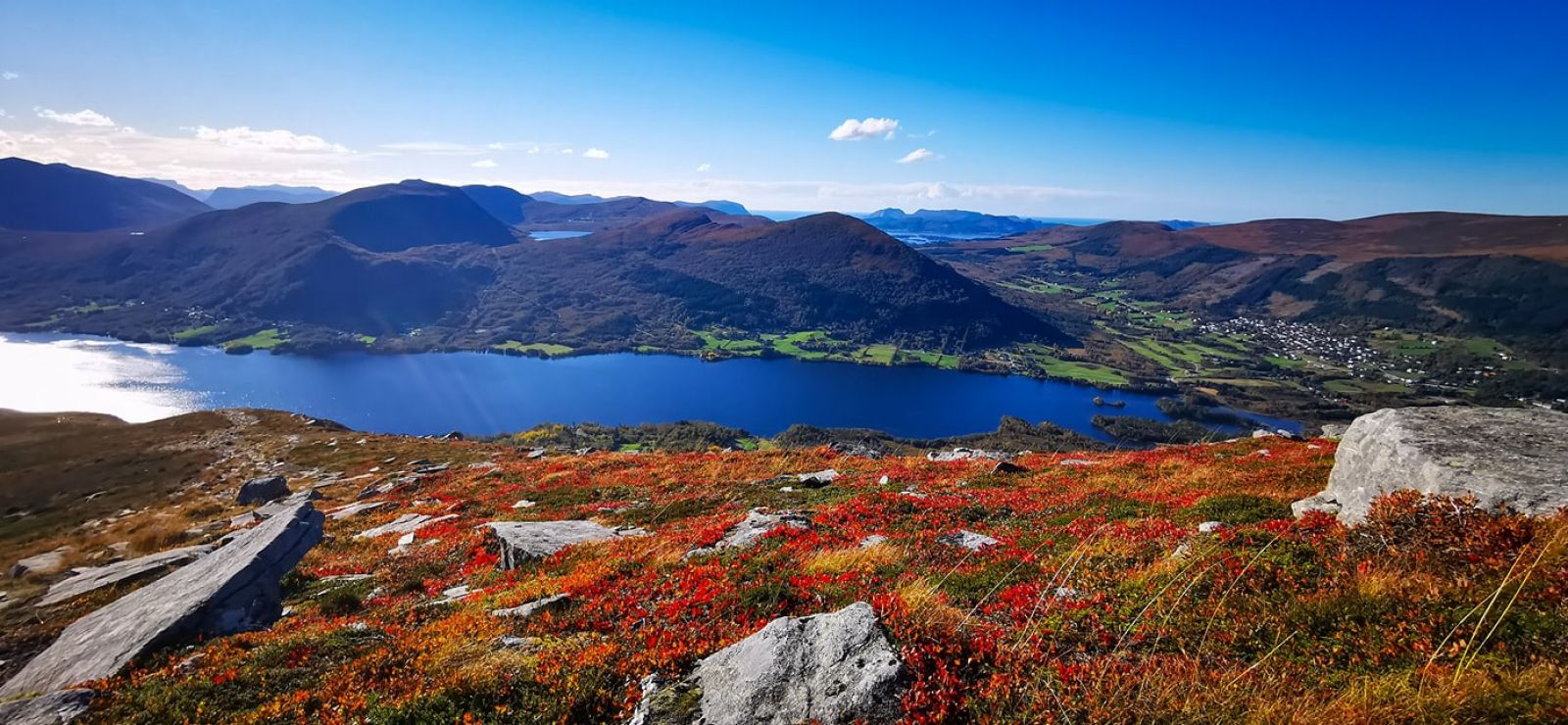
The route starts at the parking area in Ulset. The first stretch is along a marked forest road. It then leads over a glacier with a good trail for the rest of the trip that is usually dry, although there may be a few wet sections. At first, the route takes you through an open landscape with some pine trees and deciduous trees, but only initially. This is a route that is popular among the locals, and there are often other hikers here. The path continues along the ridge but remains nice and dry. The entire route has lovely views of Snipsøyrdalen, Hjørungavåg, Vartdalsfjord and Bigset. There are no difficult sections and the ascent is moderate. Although there are no benches along the path, there are many fine boulders and rocks where you can take a break and enjoy the view. The last part of the path up to the top leads through scree and rocks. At the top of Melshorn there is a large cairn and a toposcope that displays all the surrounding mountains. Melshornet stands 669 m.a.s.l. and is often called the "King of Hareidsfjell", as it is the tallest mountain in Hareid municipality. On Hareid island, only Blåtinden at 697 m.a.s.l. is taller. Each year around the Pentecost holiday, many people hike up to the mountain for the religious service held here. When standing at the top by the cairn, looking down the Hjørungavåg side of the mountain (about 30 m down the hill), you can see where an altar table was created. This is a hike with panoramic views on all sides, as far as the eye can see. Enjoy the hike and the mountain!
When descending the Ovranakken hill, head towards the quarry at Ovrasvingane on the old road where you will have parked the second car or have agreed to be picked up. The quarry has space for 2 or 3 cars.
From central Hareid, head towards Hjørungavåg. Follow the main road through Hjørungavåg and continue until you see the sign for Ulset. Drive past the shooting range and shooting hut on the right side until you come to a red barn on a farm. On the right side of the road, there is parking for about 5 cars. Right by the parking area is a forest road with a boom gate. This is where the trail starts. There is good signage on the way to Melshornet, along with an information board that has a map and aerial photo of the route and trail description.