Mauren from Nørvasundet
Ålesund
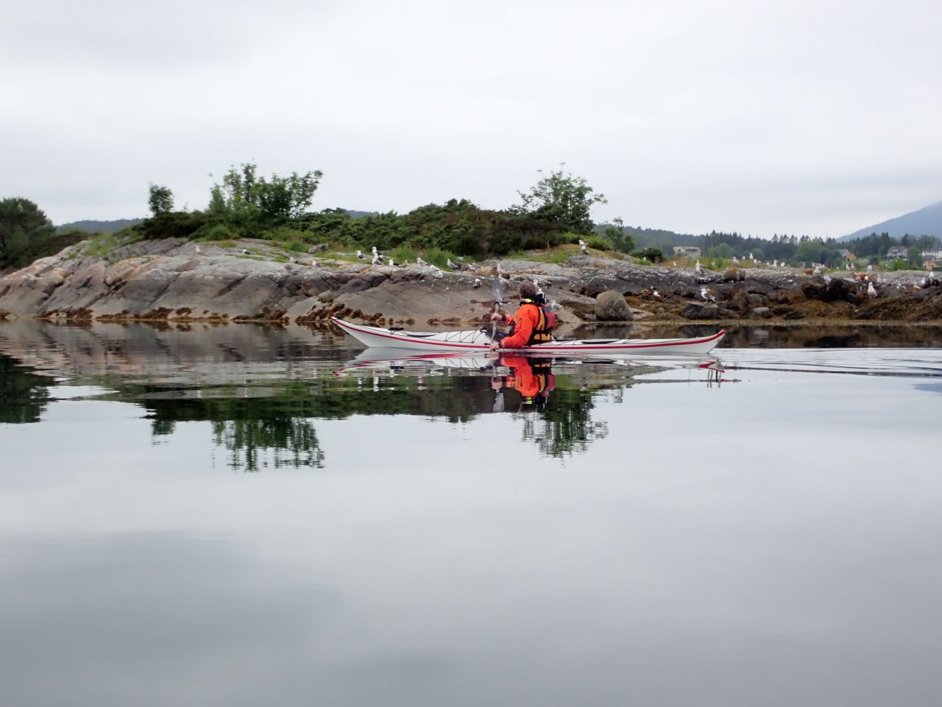
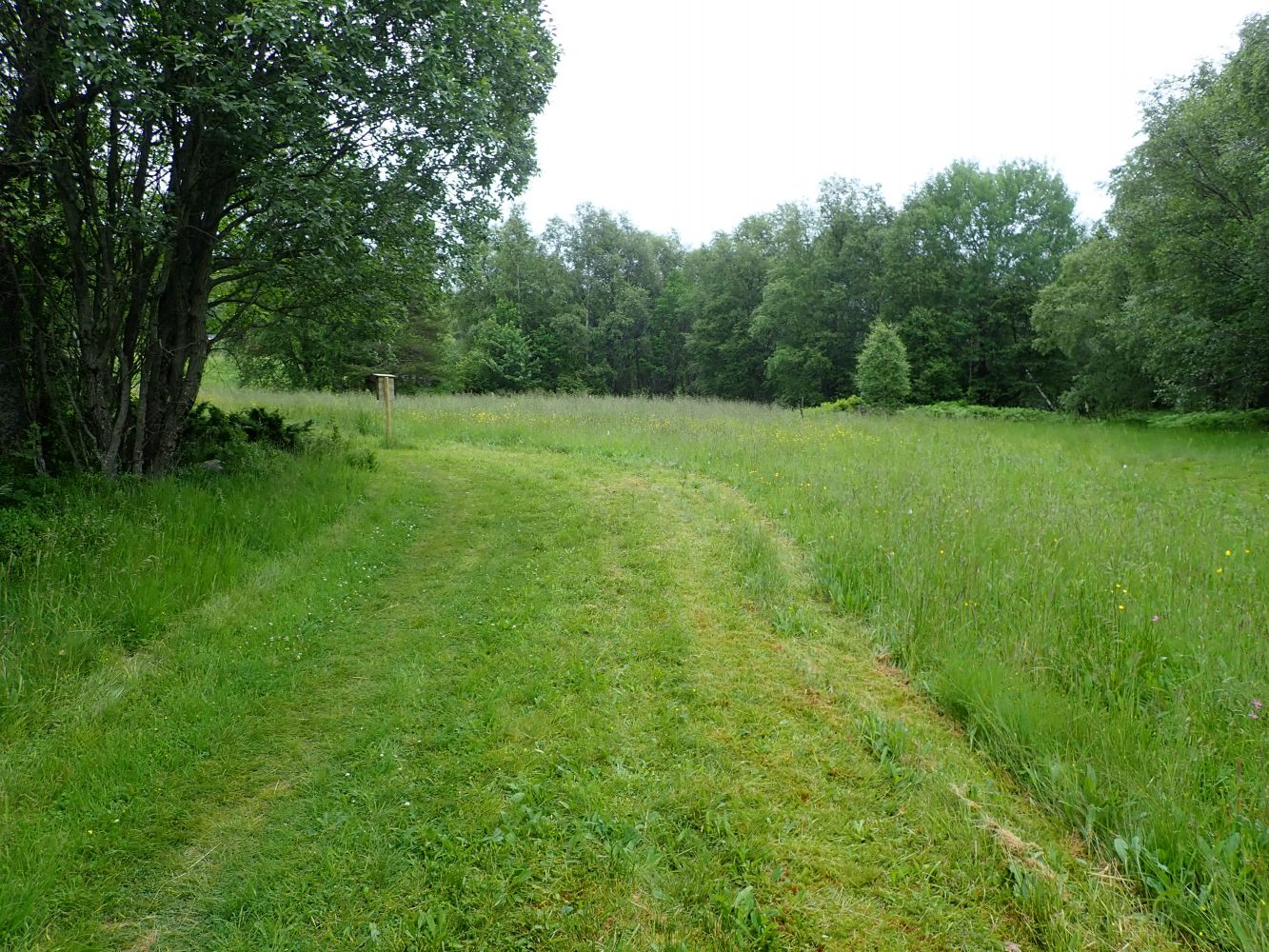
Paddling route from Nørvasundet past the state-protected conservation areas of Svinøya and Vikholmen. Mauren is also a state-protected recreation area with toilets and a parking space. The area consists of woods and an open field that is suitable for tent camping. You can fish in Taftasundet from the beautiful sloping rocks along the water. There is one nudist beach in the area.
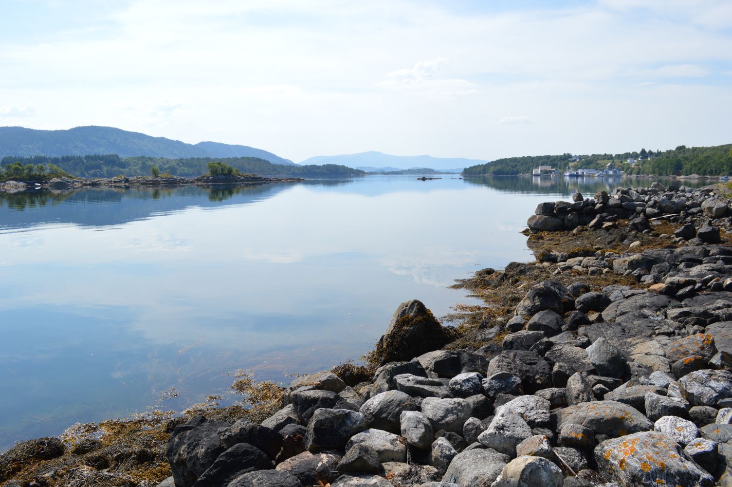
This part of Ellingsøyfjorden has several islands that offer many opportunities for different routes and experiences. This paddling route is classified as a challenging "red" route due to its length (>20 km)
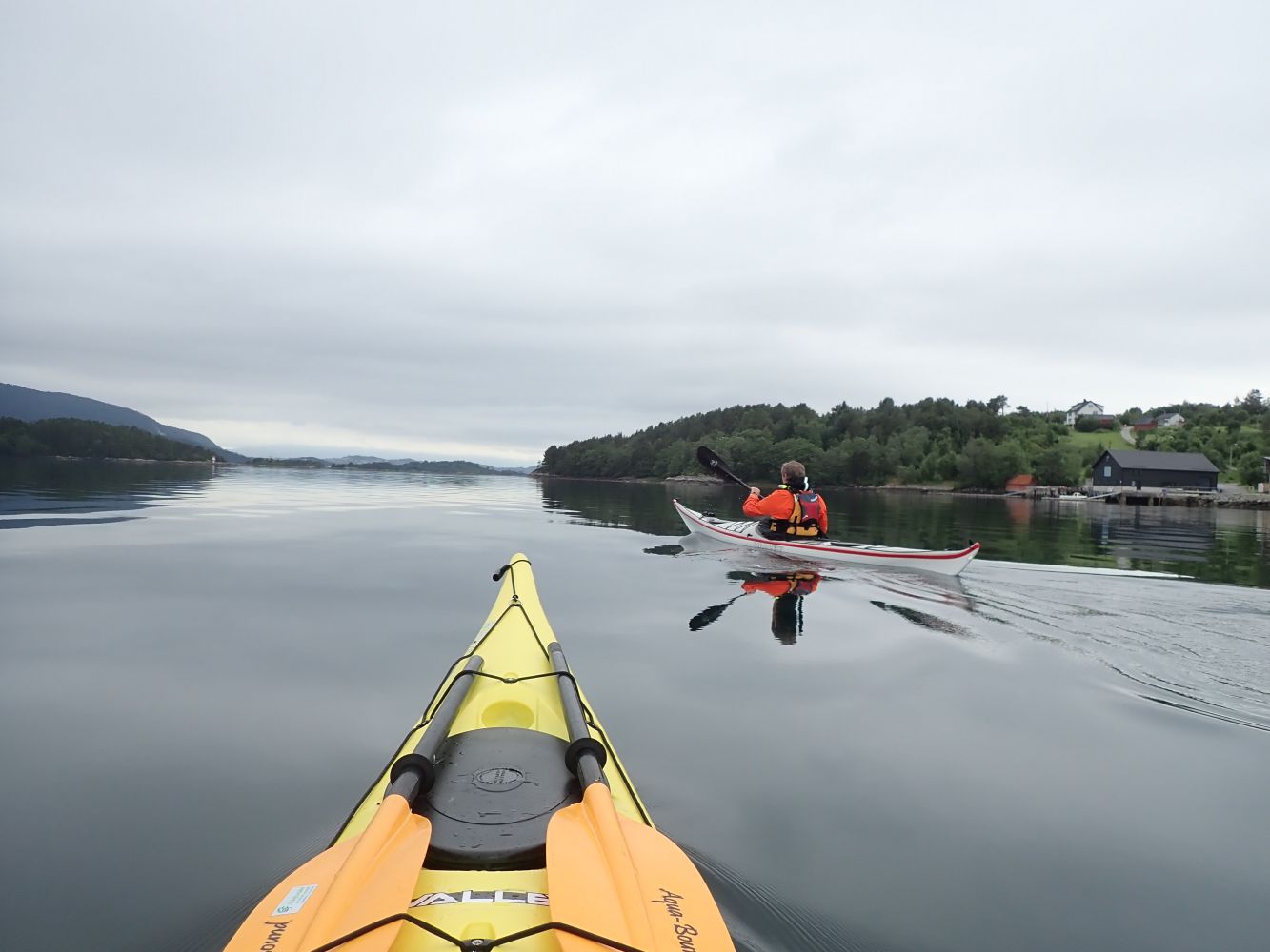
Paddle out and around the leisure boat harbour and down to Gåseidholmane. From there, set course northward and cross the sound in the direction of Larsgården. Paddle eastward along the coast until you reach the peninsula and can see the island of Svinøya and the Svinøy islets. Set course towards the south side of Svinøyholmen and cross the fjord. Here you will cross the sea lane and shipping lane to Breivika/Olsvika. Once you pass Svinøyholmen, continue until you near Sommarneset. Then cross over to the south side of Kalven, a smaller island, before continuing along the south side of Lille Kalvøya. Once you reach the furthest east point of Lille Kalvøya, you will see Vikholmen to the northeast and Langøya, as well as two smaller islands, Kavringen and Fangstholmen, to the east. Cross eastward and paddle along the south side of Langøya. From the east side of Langøya, cross a small sound over to Årsetneset on Ellingsøya. Continue eastward along the coast until you see the bridge over Taftasundet. There is periodically a strong tidal current in the sound of Taftasundet. Cross past Roteflua to Maurholmen and northeast to Maurneset. Then head towards the single boathouse. The boathouse and dock are privately owned, but the area is otherwise state-protected for public recreation. Make sure to pull your kayak up outside the private area.
The islands of Svinøya and Vikholmen are located between Nørvasundet and Mauren. Both are state-protected and have facilities such as toilets, a campfire pit and guest docks. This area is worth a stop or alternative spot to spend the night.
Parking and launching at the Gåseidet leisure boat harbour. You can drive into the harbour area to unload your kayak and equipment. But you should park at the parking area outside the harbour area (before the underpass below the main road).
Distance
13,14 km one way
Duration
6 t. 35 min.

Sesong
Spring, Summer, Autumn
Longer paddling route along Ellingsøyfjord in the transition between partly sheltered area and more open fjord is exposed to westerly and northwesterly winds. Conditions may therefore quickly change according to wind and sea. Expect other boat traffic. The paddling route crosses the sea lane for leisure boat traffic.
 Driving directions
 Route data
GeoJSON
Route data
GeoJSON