This is a nice trail that most people can manage. It is suitable for both walking, running, or cycling. People of all ages can enjoy the trail, and it is a good fit for families with children. The area is a popular tourist destination all year round.
Route description
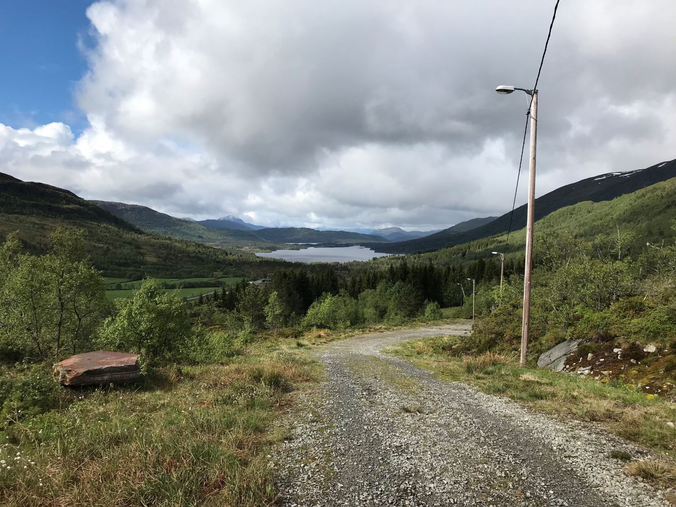
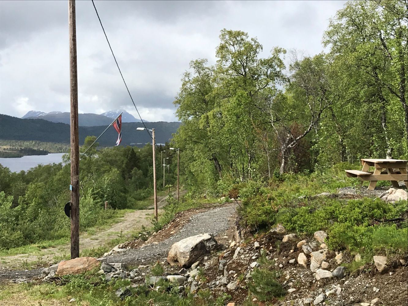
The trail starts from the car park at the top of the Tomrereset area. There is some climbing involved on your way up and down, but the trail is generally widely accessible. The route follows a ski trail which is illuminated in winter. The trail postbox where you can register can be found in the upper part of the ski trail. You can take a nice walk around the looped ski trail. When the snow settles and the trail is used by skiers, a heated shelter with a kiosk is open for visitors. The trail is a perfect fit for strollers, cyclists, or hikers. There might be some driving here as there are many cabins in the area.
Access and parking
Turn off National Road 661 (RV661) after about 500 m past the Vard Langstein shipyard and turn left up the farm road. The farm road is signposted to Tomrefjellet. Follow the asphalt farm road until you reach a toll road after a few hundred metres up the hill. The distance from the toll station to the car park is about 3km. There is a large car park at the top of the Tomrereset area.
Hiking route
Green
Distance
4,48 km one way
Elevation
143 m
Duration
1 t. 30 min.
Sesong
Winter, Spring, Summer, Autumn
Lysløype
Hele turen
Highest Point
314 masl
Signage
Both signed and marked
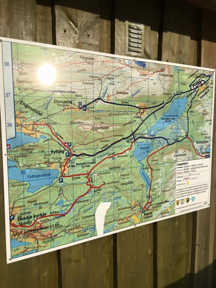
Map route
Surface type
Distance
Grus
2
Sti
2,4
Public transport
There is no public transport service in the Tomrereset area.
Other
The trail is perfect for both walking, running, or cycling. The area is a popular tourist destination all year round. It is a Stikk Ut trail in winter.