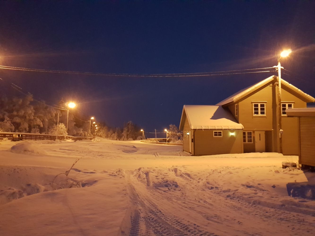
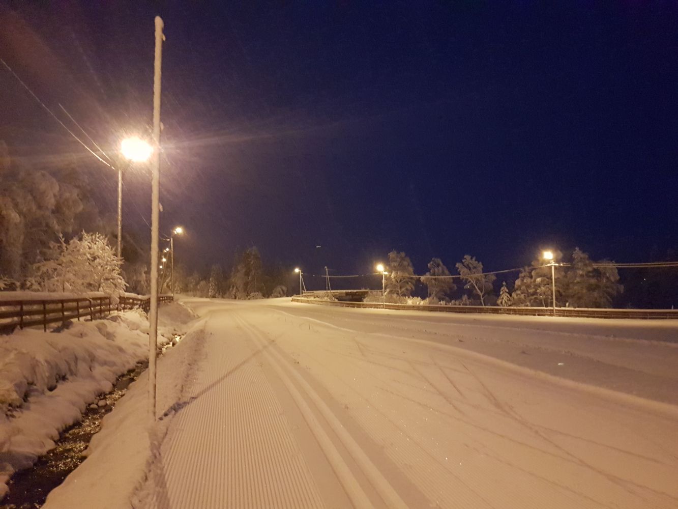
Illuminated Ski Trail at Volda Skisenter
Volda
This well-maintained groomed ski trail is suitable for both skate and classic skiing. The trail is part of a ski resort that also has a surface lift/skiing facilities, a biathlon stadium, and several ski trails for recreational use.
The ski trail starts at the ski stadium in the eastern end of the car park at the ski resort Volda Skisenter. The biathlon stadium in the southwestern end of the car park can also be a starting point. Alternatively, you can start the trail from Helgatun. After skiing for about 500 m uphill from Helgatun, you will enter the easternmost section of the ski trail. From Helgatun, follow the signs for Skisenteret and Melshornet.
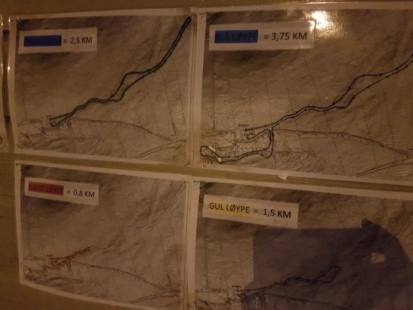
Once you reach the ski stadium, follow the trail as it runs east until it ends. On your way back, choose the ski trail at the bottom which will take you back almost all the way to the ski stadium. Cross the bridge over the road that leads to the ski resort, follow the ski trail as it runs straight ahead and then makes a loop past the biathlon stadium. The trail ends here, but there are also several shortcuts along the way. Please read the information on the wall at the ski stadium to find out more.
Drive along E39 from the centre of Volda in the direction of Stryn. Drive straight ahead at the roundabout near Volda University College and continue up Vikebygdvegen Road for about 2.5 kilometres. Turn left onto Resvegen Road just before Helgatun, at the sign for “Skisenter” (Eng. “Ski Resort”). If you want to start skiing from Helgatun, continue straight ahead to Helgatun instead of turning off to the ski resort. Park your car at the ski resort Volda Skisenter. Please check the parking fees on their website. You can pay with the Vipps payment app (#131285). Parking in Helgatun is free of charge.