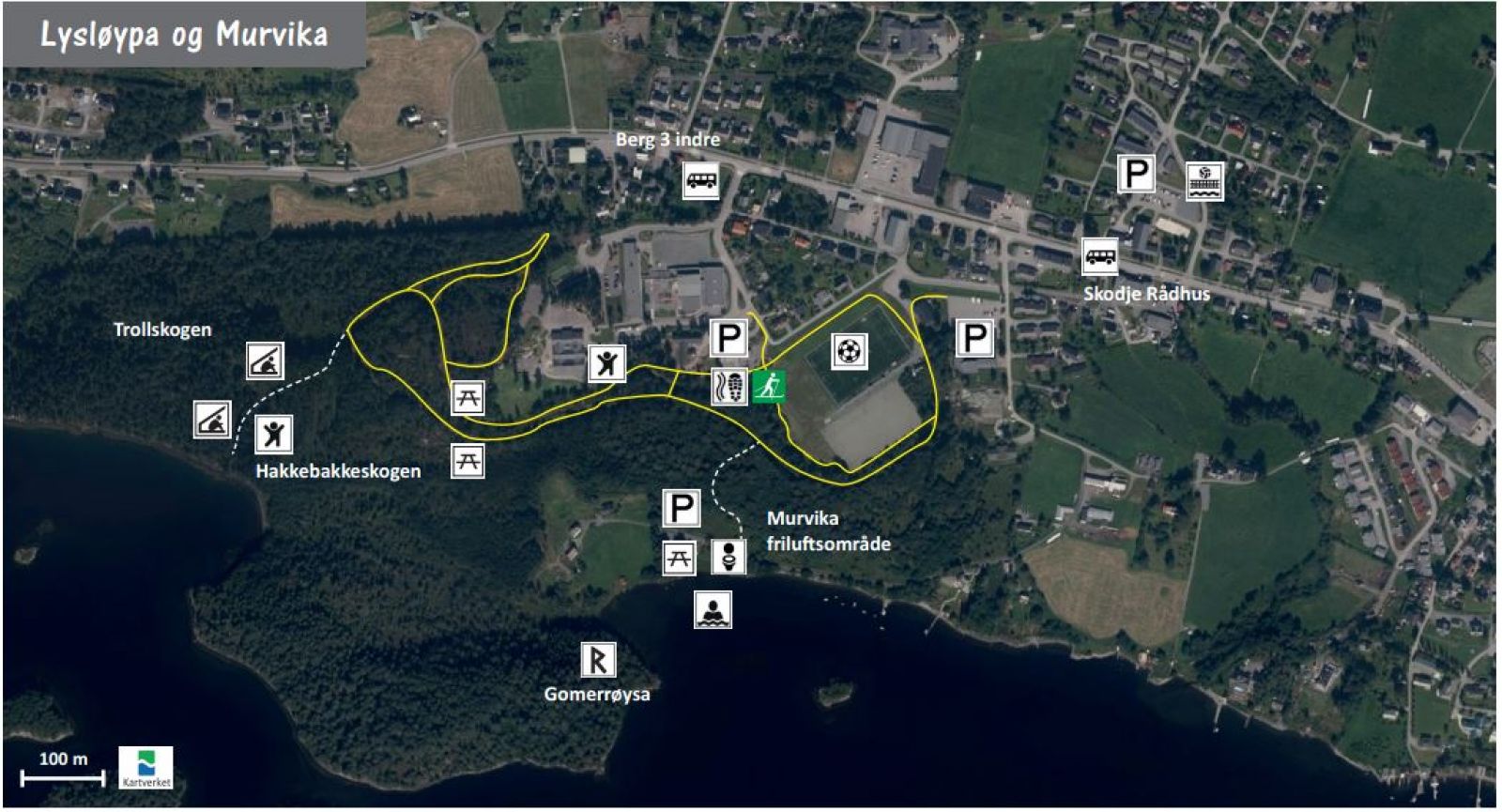
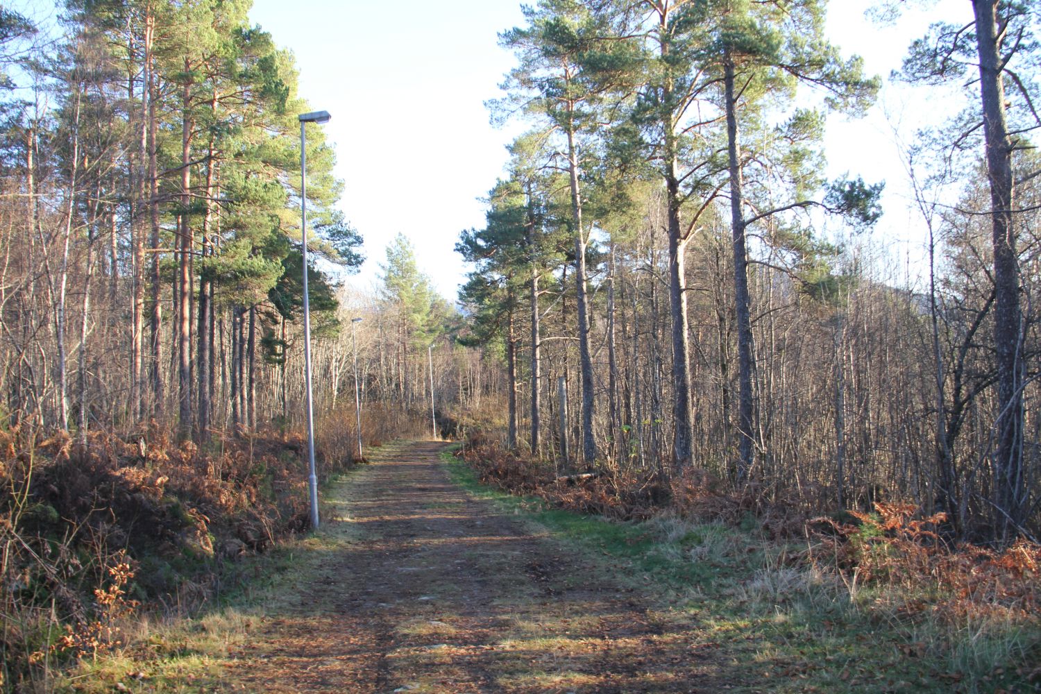
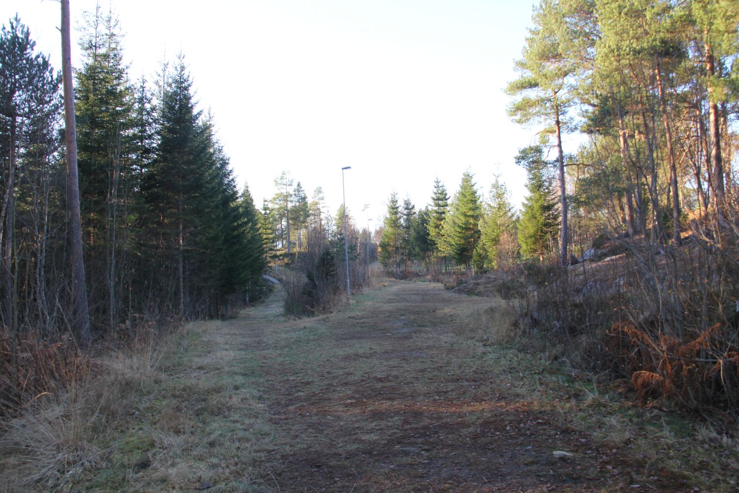
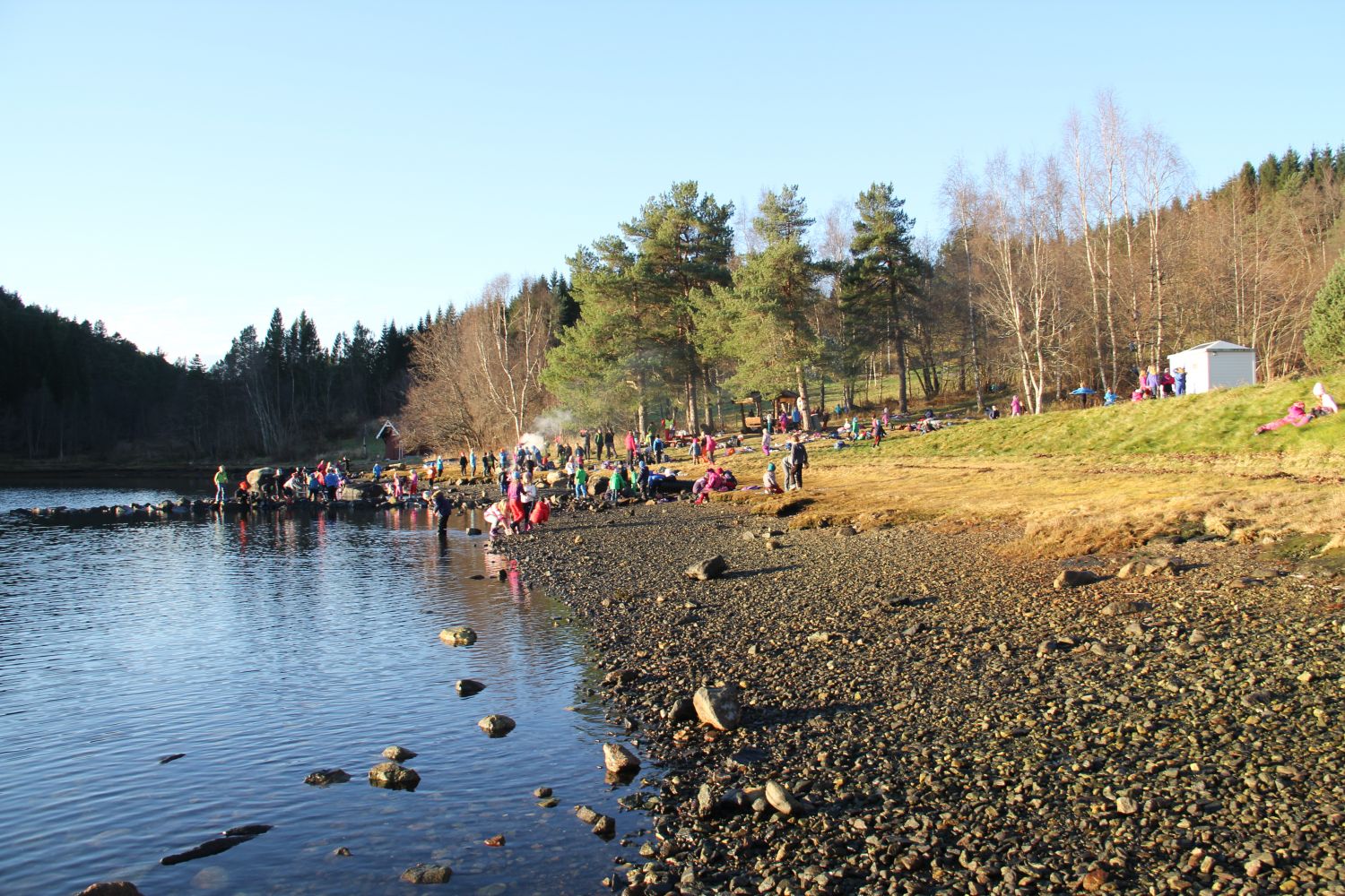
This is a great hiking route and a ski trail in the centre of Skodje. During the snow-free months, you can enjoy walking along the clear and well-prepared path that follows the ski trail through the area of pine and mixed forest. The route described here is the longest possible option. But since the ski trail crosses itself several times it is easy to shorten your walk, if you would like to. There is a wonderful viewing point along the ski trail as well as several “gapahuk” shelters and one more trail shelter in the area. The ski trail is already a great walk in itself, but you can also take a couple of detours along the way and explore the outdoor areas of Murvika and Hakkebakkeskogen.
There are several car parks you can use, for example the one in front of the clubhouse in the centre of Skodje.
You can park your car next to the clubhouse.
Duration
1 t. 25 min.

| Surface type |
Distance |
| Sti |
2,2 |
Omtale av turen og området finn du på friluftsrådet sine turkort
 Driving directions
 Route data
GeoJSON
Route data
GeoJSON