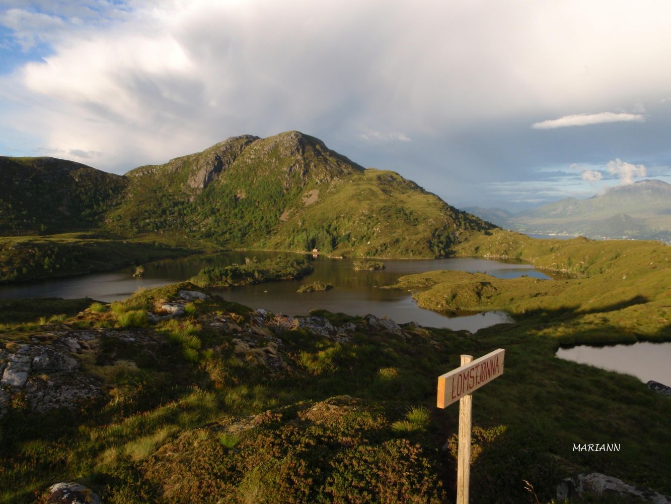
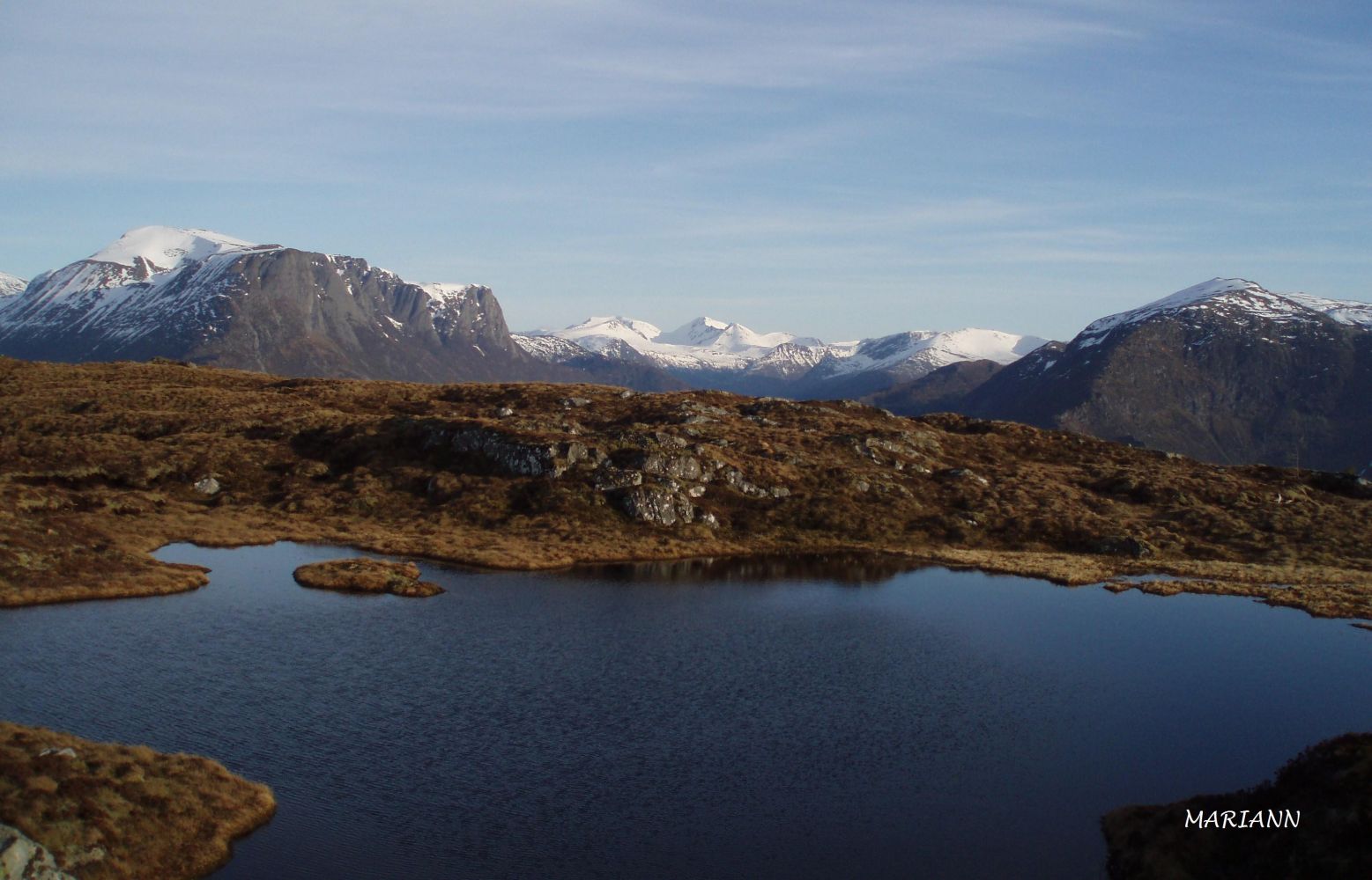
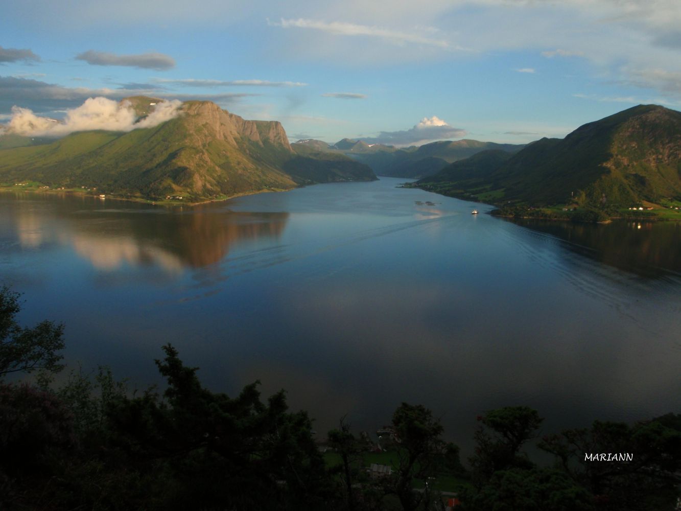
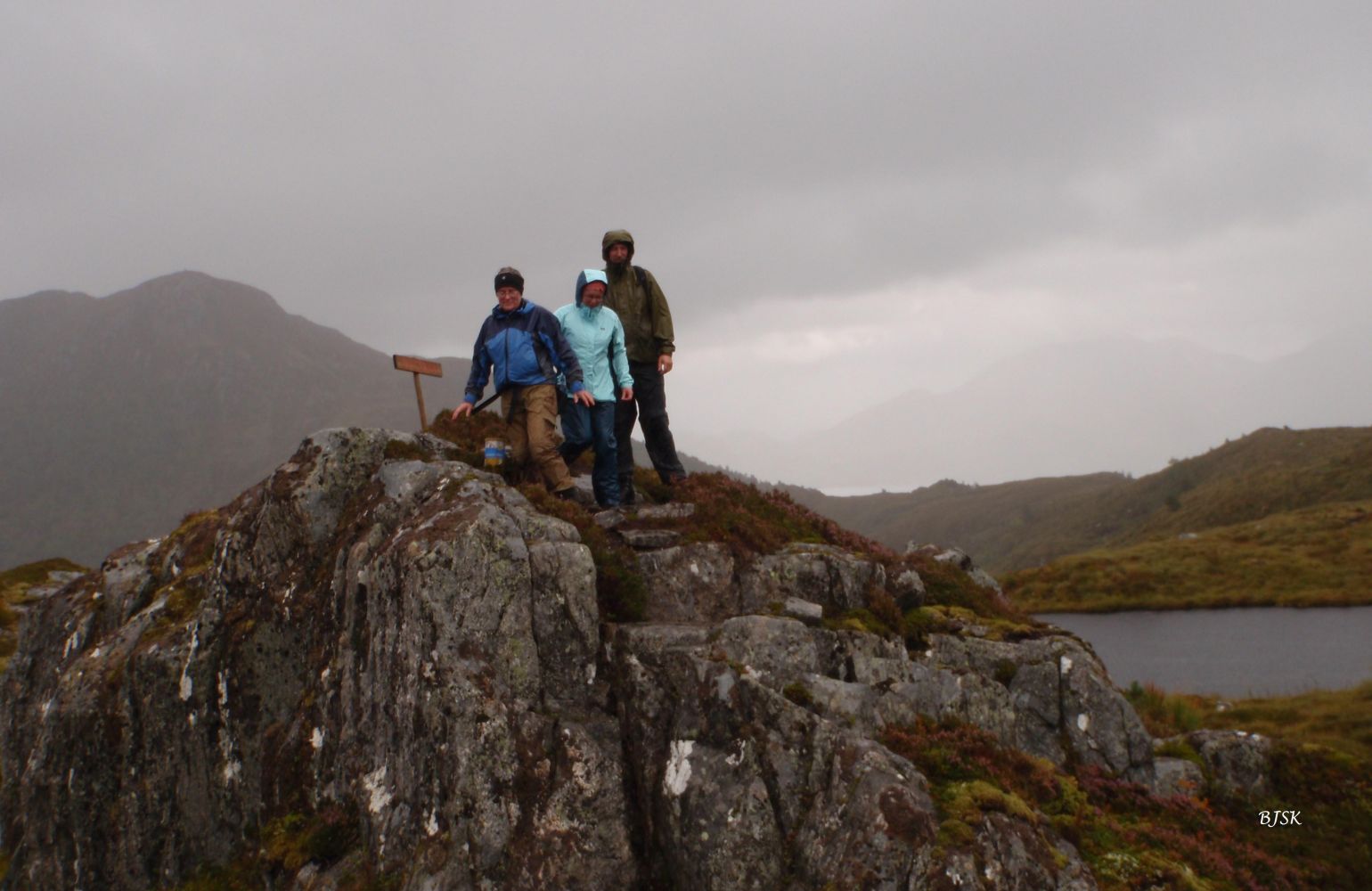
Lomstjønna is a small peak by the lake of the same name that lies on the south side of Lake Nyksvatnet. The trail offers a scenic view over the mountains of Vanylven, Lake Nyksvatnet, and Mount Veten. The Larsnes Sports Association (Larsnes IL) has a trail post on Lomstjønna.
You can access Lomstjønna from both Larsnes and Skredestranda. If you choose to walk from Larsnes, the starting point of the trail is by the water plant in Dalen. Follow the tractor road up through the forest until you reach a gapahuk shelter. Continue along the path as it takes you across the river and east over the marshes until you reach Lomstjønna. If you start the hike from Skredestranda, walk across the playground in Slettestøl. The path begins from the westernmost corner of the playground. You will also see a tractor road which you should not follow. Instead, walk along the path that goes straight up through the forest from the turn of the tractor road. Follow the path as it zigzags through the dense forest. Walk west and then north. After the forest, continue along the path as it takes you over the marshes. When you reach the plateau before Lake Nyksvatnet, you will see a sign for Veten. Turn left and follow the mountain edge. The path continues above the marshes on the south side of Lake Nyksvatnet and takes you all the way to Lomstjønna. You will follow a good-quality path, whichever route alternative you choose. You can walk the entire route from Larsnes to Skredestranda (or vice versa) if someone can pick you up at either point. The lengths provided on this page refer to the entire mountain pass.
From Larsnes: turn off County Road 61 (FV61) at the junction north of the centre of Larsnes at the sign pointing to the nursing home and the church. Drive for 750 m and turn right after the vicarage. Continue for another 100 m and turn left by the church. Drive for 750 m, turn left, and drive up the road until you reach the water plant where you can park your car. From Skredestranda: turn off County Road 61 (FV61) at the Årvik ferry terminal, drive for 700 m, and turn left at the junction before Liset Feriesenter. Drive for 150 m and park your car next to the playground.
From Larsnes: park your car by the water plant in Dalen. From Skredestranda: park your car by the playground in Slettestøl.
Distance
3,45 km both ways
Duration
1 t. 40 min.

Sesong
Spring, Summer, Autumn
Signage
Both signed and marked
| Surface type |
Distance |
| Sti |
3,4 |
Ytre Søre Sunnmøre hiking map, M711 1119 III, Sunnmorskart.no
 Driving directions
 Route data
GeoJSON
Route data
GeoJSON