Lønsetfjellet / Skårsfjellet
Molde
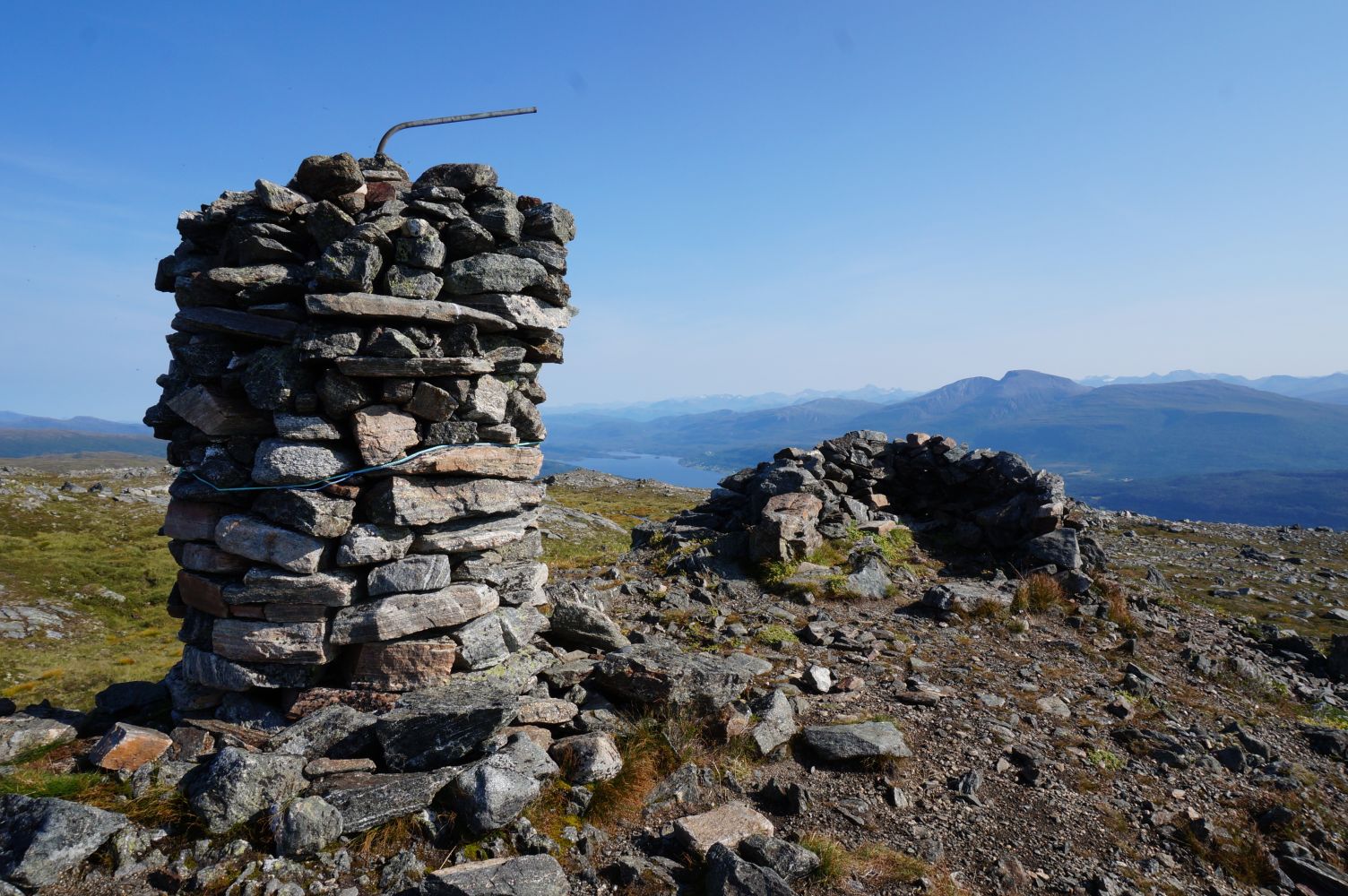
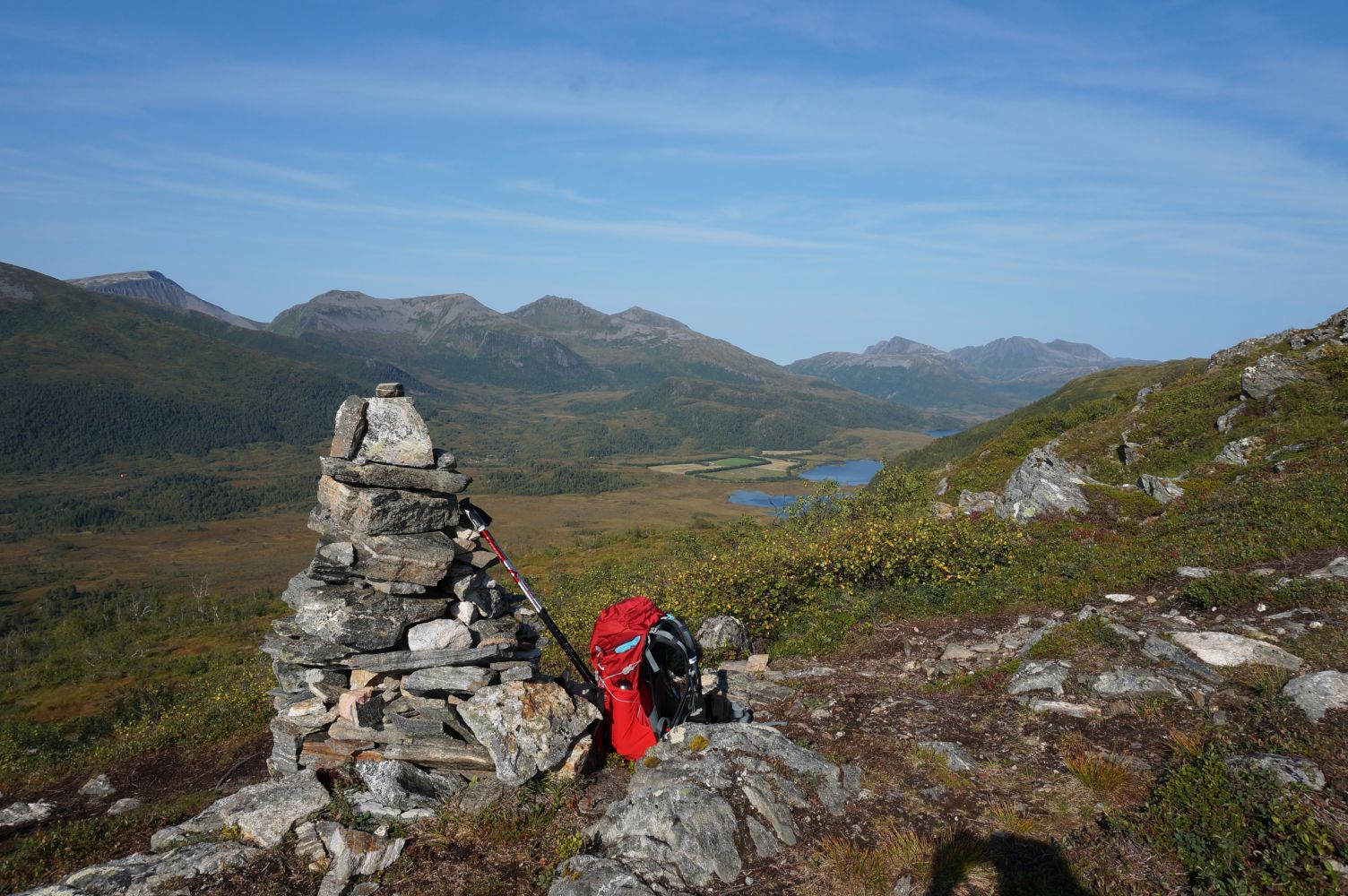
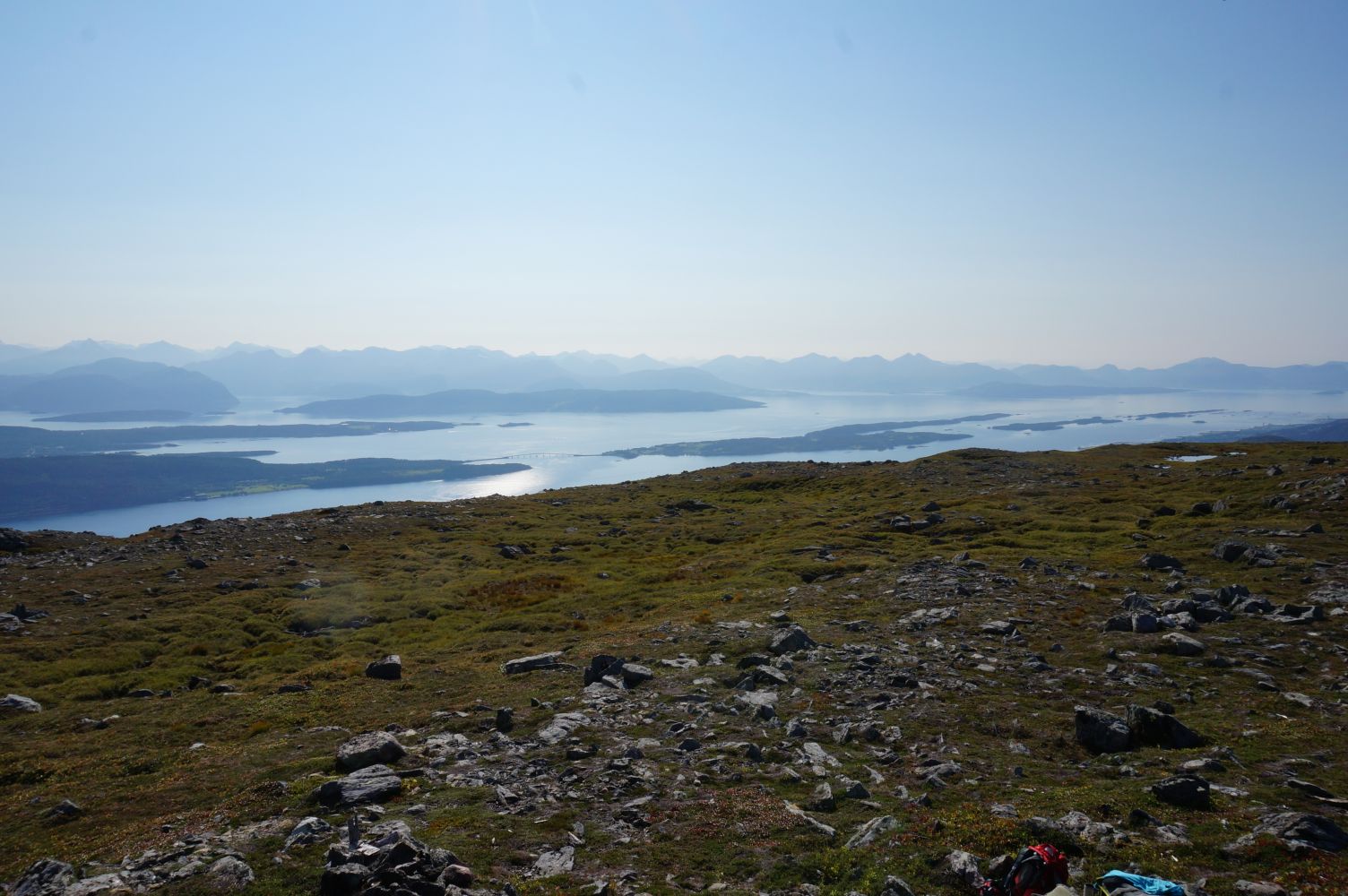
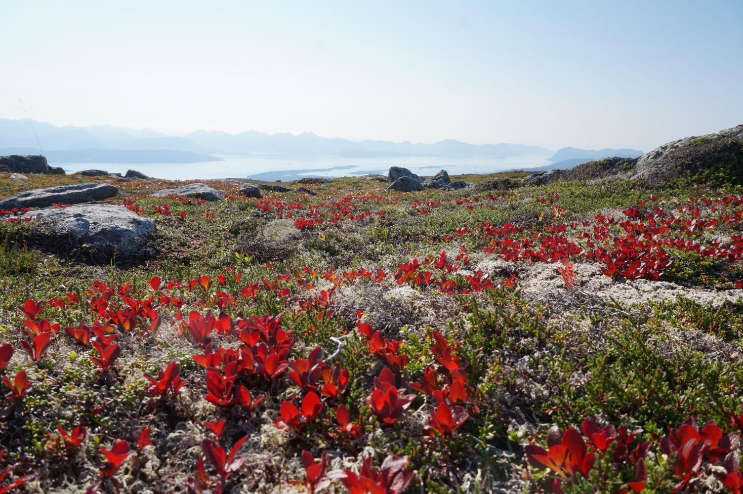
This is a nice trail that features various types of terrain. At first it follows a gravel road through some moderate terrain. Then you will walk along a path that gradually ascends through the forest. Finally, a solid path will take you through a bare mountain area, past some idyllic small lakes until you reach a stone cairn on Mount Lønsetfjellet, 755 m a.s.l. Once you are there, you can enjoy a wonderful view of Langdalen, Urfjellet and Tusten, as well as Fannefjorden, islets, Bolsøya Island and Skåla in the opposite direction.
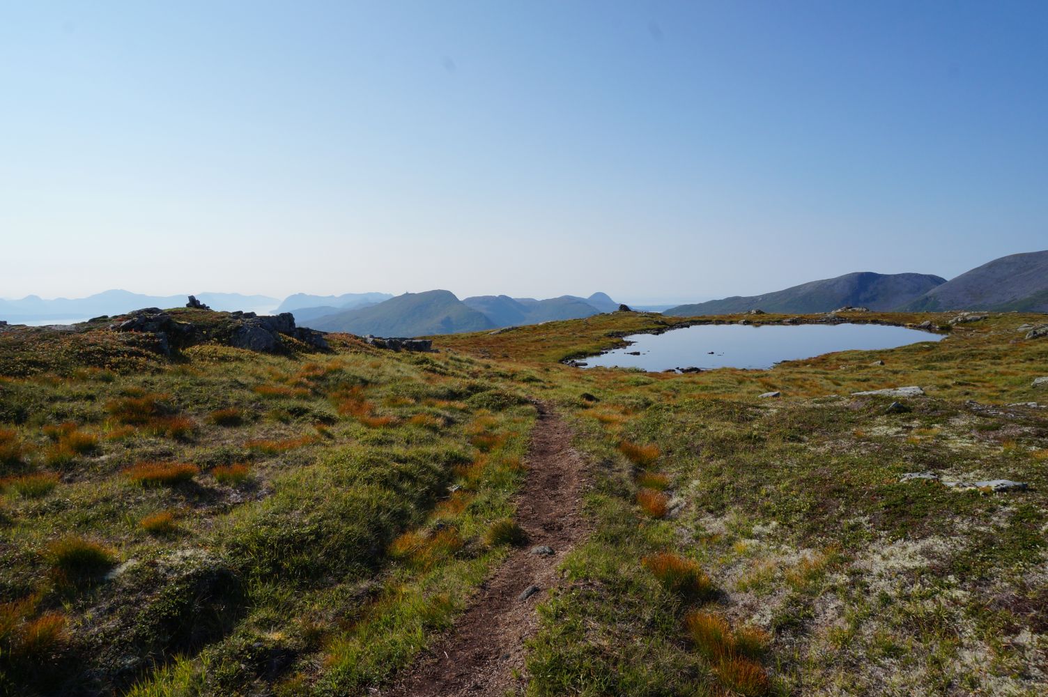
The starting point of the trail is the Skaret Ski Stadium, next to the road that goes up to the bridge. Follow the road to the left towards Kordalen. Walk over a small bridge past a cabin on the right side of the road, follow this road for a little while and turn left at the first junction. You will come to a small bridge and a red building with a sign that reads “Lønsetfjellet”. Continue following the road behind the building as it turns into a somewhat rocky path that ascends gradually through the forest until you are above the tree line at about 500 metres above sea level. The path slowly ascends further and is clear and nice to follow. It is easy to walk here, and you can already start enjoying a great view. The path takes you past some idyllic small lakes as you approach the stone cairns at the top. There are two stone cairns on Mount Lønsetfjellet — the high one and the round one which can also be used as a shelter from the wind.
As you drive towards Skaret, turn off to the right 400 metres after Stokkevelta. You will see a sign that reads “Skistadion” (“Ski Stadium”) by the main road, about 100 metres away from the car park at the Skaret Ski Stadium. It is a large free car park.
There is a large car park next to the Skaret Ski Stadium. Free of charge.
Duration
3 t. 45 min.

Sesong
Spring, Summer, Autumn
| Surface type |
Distance |
| Grus |
1,0 |
| Sti |
3,5 |
Molde tourist map. The map is one of the map series issued by Nordmøre and Romsdal Outdoor Council in 2007. Scale 1:50.000
 Driving directions
 Route data
GeoJSON
Route data
GeoJSON