This ski trip covers gentle terrain with groomed trails. The trail runs through a cultural landscape, follows farm roads, and covers marshes. You will pass sections of spruce and pine forest and later a more open deciduous forest. The area is part of the protected Solnørvassdraget basin. The trail is also part of the large network of ski trails around Svartløken that connect Fylling in the former Skodje Municipality and the Tomrefjorden in Vestnes Municipality. The trail ends at Fjellstova Ørskogfjellet Cottages where you will also find a large car park. Subject to a parking fee. From here, you can take a bus, for example Timeekspressen, back to the centre of Sjøholt. Alternatively, you can follow the same way back to the starting point. You can also follow this route in the opposite direction.
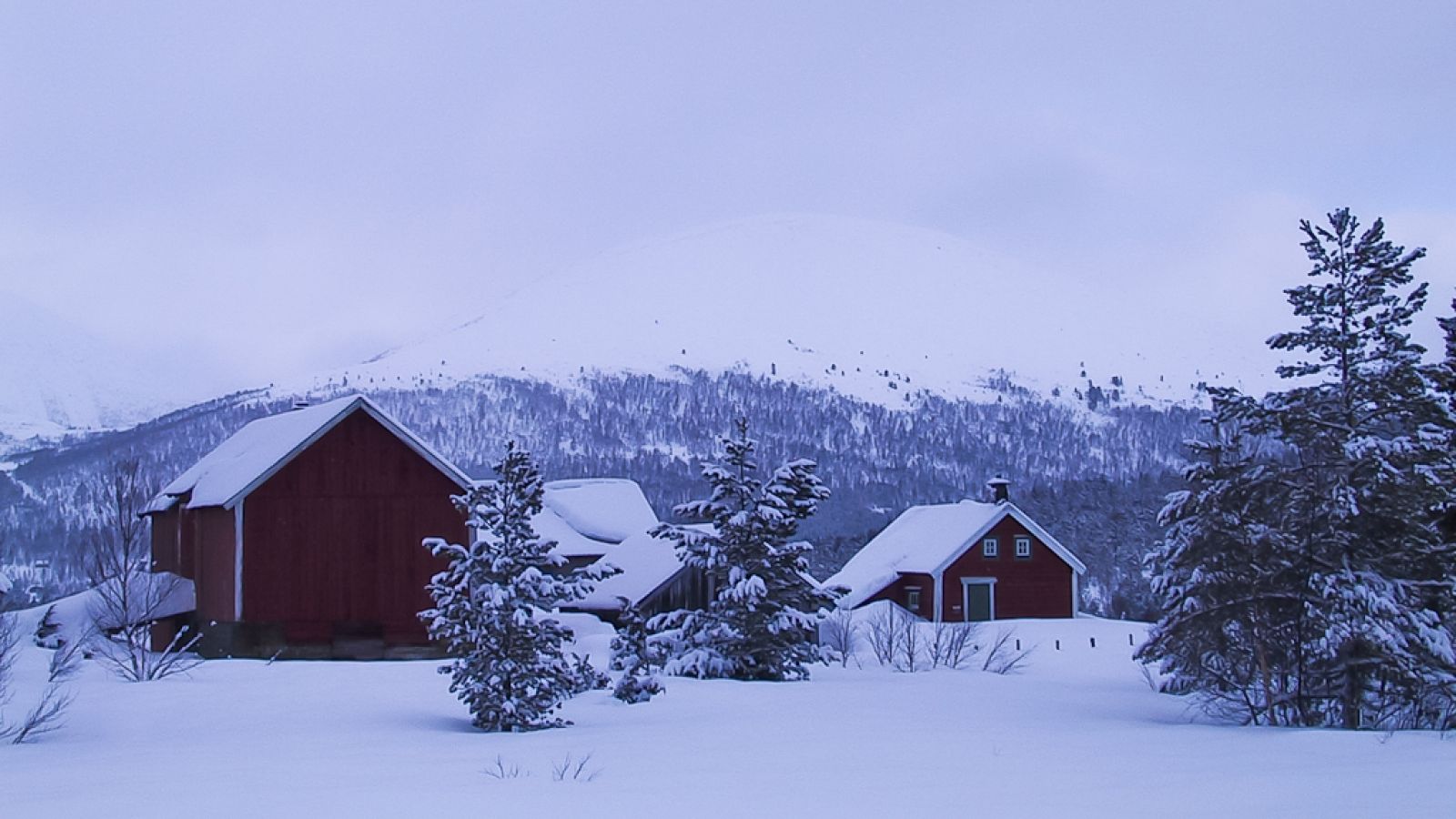
You will first go down a gentle slope and then walk up a relatively steep hillside. In the east, you can see a mountain range called Knippingen at 406 m a.s.l. When you reach an intersection, keep to the left since the other road leads to Sjøholtsætra. After about 1 km, the remaining part of the trail is relatively flat. You will ski along Lake Akslevollvatnet where there are many holiday cabins. A slight upward slope means that you have reached Liasetra.Continue following this trail by first heading north until you see Lake Mevatnet on your left. The trail turns northeast up a gentle slope. Turn right onto Løklivegen Road at another intersection and ski over a flat section. You will soon see the farm buildings of Svartløken, and the slopes that lead up to Ørskogfjellet begin soon after that. Keep to the right when the ski trail forks again. On the right side of the trail you will see the old ski jumping hill, Løklibakken, where the Norwegian Ski Jumping Championship was organised in 1967. After a kilometre, you will reach the end of the ski trail and see Fjellstova Ørskogfjellet Cottages.
From the centre of Sjøholt, take the signposted road to Solnørdalen next to Ørskog Samfunnshus (Eng. Ørskog Community Centre). Drive for just under 3 km until you reach a large U-turn to the left. You are in Brauta.
If you start skiing from Brauta, you can use the small car park you will find here or park along the road. Car parking is free of charge.
If you start from Ørskogfjellet, find the large car park in front of Fjellstova. Subject to a parking fee.
Duration
2 t. 0 min

Signage
No signage or markings
| Surface type |
Distance |
| Preparert med tråkkemaskin |
11,6 |
There is a bus service to and from Fjellstova Ørskogfjellet Cottages, for example Timeekspressen between Ålesund and Molde.
 Driving directions
 Route data
GeoJSON
Route data
GeoJSON