Løkeberget from Snipsøydalsvegen
Hareid
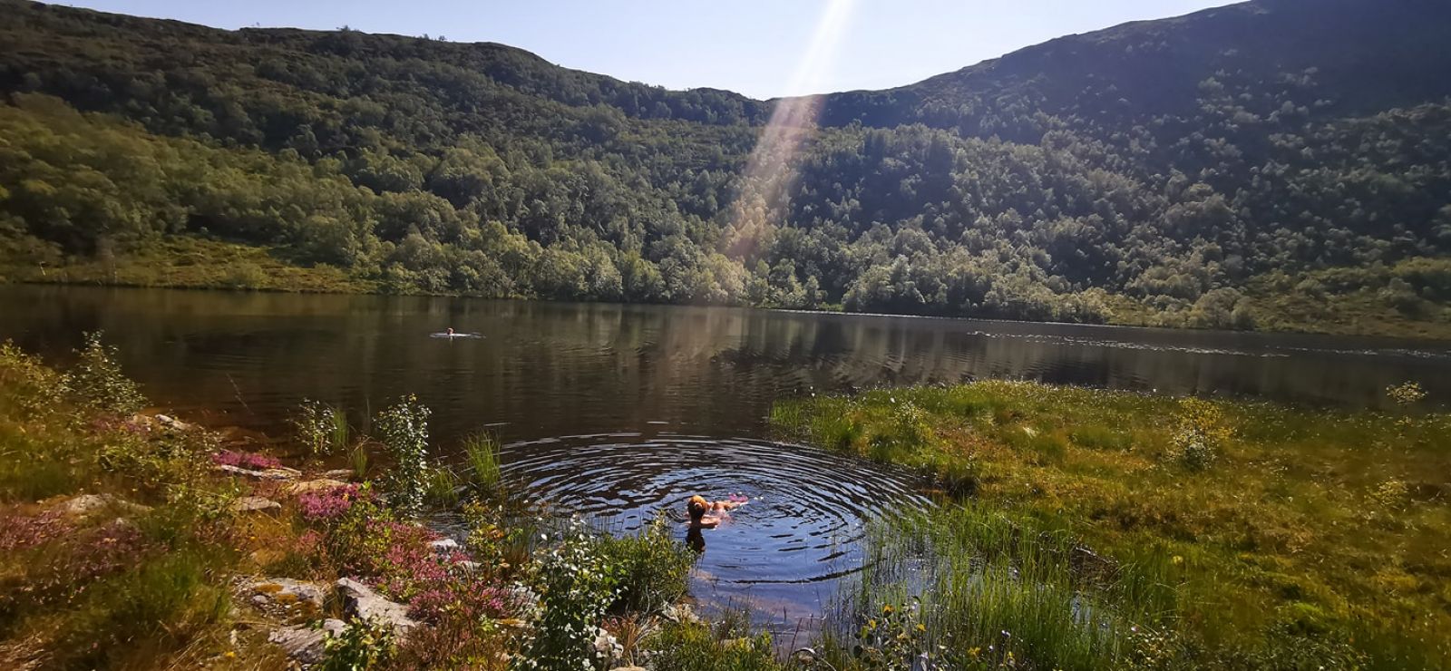
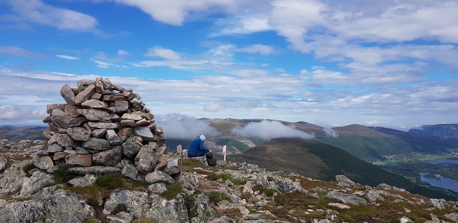
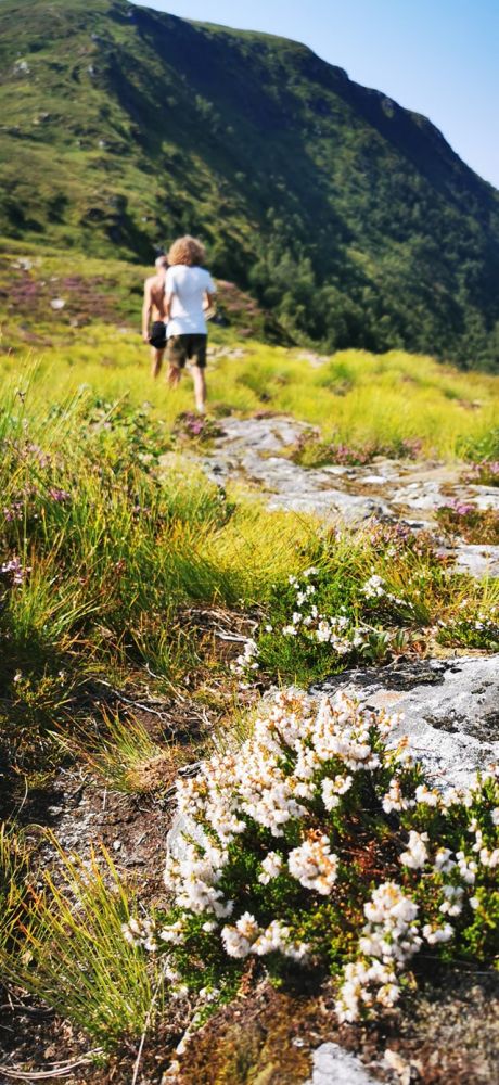
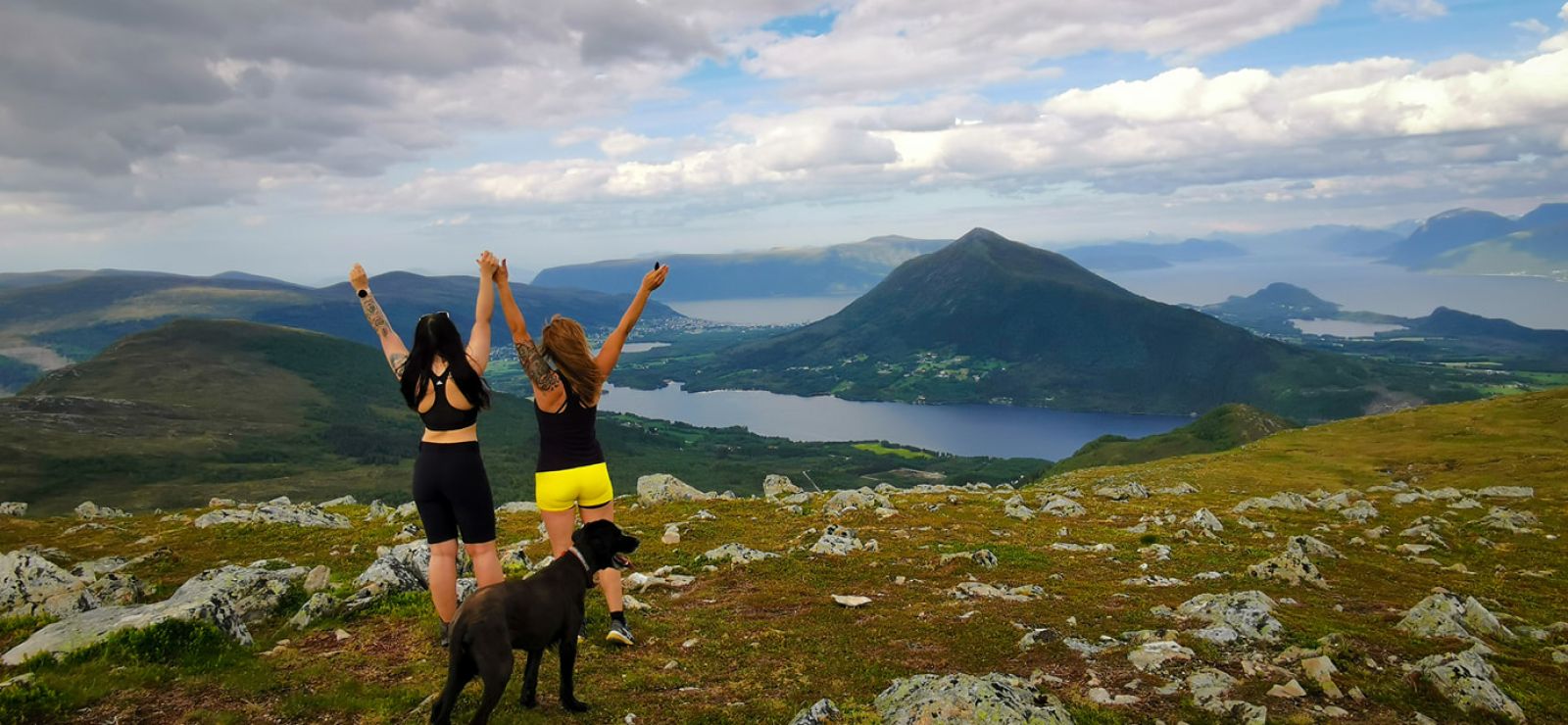
This route leads along a road and a path in scenic nature. Suitable for hiking in spring, summer and autumn. The trail passes Svartevatnet Lake, a super place for a refreshing swim, and we recommend it wholeheartedly. The hike starts in the woods and continues into an open mountain landscape. Great views in all directions.
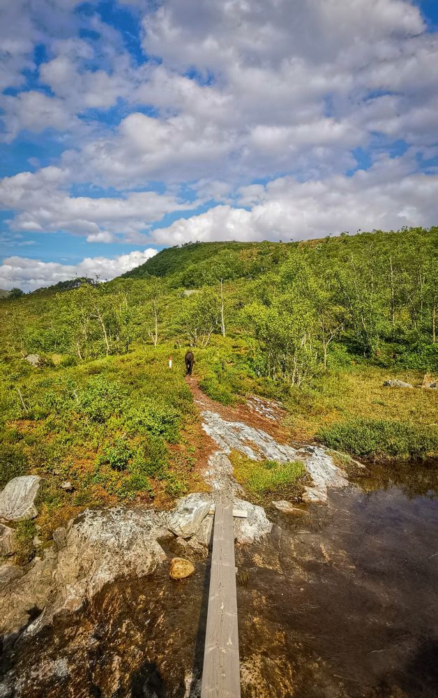
The route starts on a flat gravel road and leads up to the waterworks building. Continue along the forest road up towards Hammarstøylsvvatnet Lake. This road is known as "Fettbrennaren" ("The Fat Burner"), as it is steep and will give you a workout. The last part of the trail to Hammarstøylsvatnet flattens out, and you will then turn off on the path to Løkeberget (about 300 metres before Hammarstøylsvatnet). From here, the path can be a bit soggy in a few places. It continues past Svartevatnet Lake, which is a highly recommended swimming spot. The path continues through an open mountain landscape in scenic surroundings. The entire route has a clearly visible path, making it easy to get to your destination.
From central Hareid, follow Hareidsvegen about 4 km towards Ulsteinvik. At Bigset, there are signs on the left for Kvammen and Snipsøyrdalen. Continue about 3 km. On the right side of the road is a large parking area. The trail starts here and includes signs for Hammarstøylsvatnet Lake and Løkeberget.