The hike to Løfta can be tackled by most people. You will follow a gravel road and a good-quality path. It is possible to walk up from both the residential area and the gravel pit in Todalen.
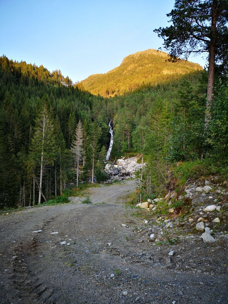
Walk up the gravel road until you see the waterfall Rossåfossen on your left. Continue following the road and keep to the right when it splits in two a couple of hundred metres further up the hill. Walk past the first turn, and you will see the path to the destination point, Løfta, on your right-hand side. You will also see a sign that reads “Løfta” on a tree. From here, the trail destination, where you can sit down and enjoy nature, is only a short distance away. Make sure to write your name in the trail journal. From here, follow the path down to the residential area in Kvennset. Do not walk off the path when it splits. The path changes into an old forest road further down the hill. From that point, the residential area is only a short distance away. You can walk through the residential area and follow the main road in the direction of Surnadal back to the starting point. Alternatively, you can follow the path over Løfta and back down the gravel road to the starting point of the hike.
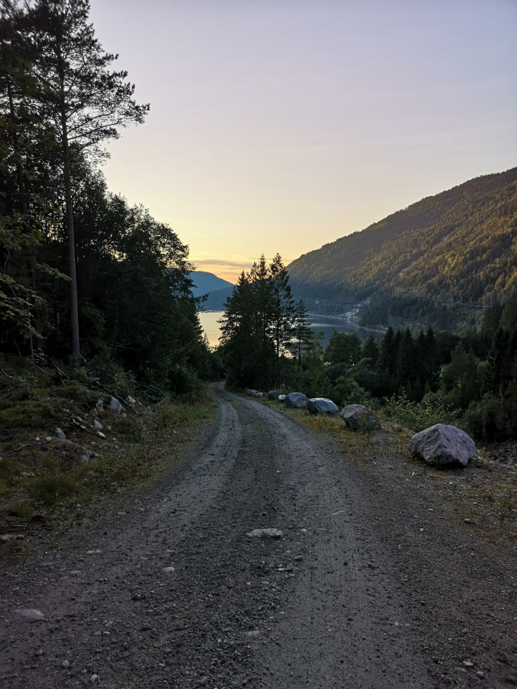
The starting point of this hike is by the road that leads up to the Kvennset gravel pit. Drive to Todalen, past Todalshaugen, and across the bridge over the Rossåa River. Take the first exit road to the left just after the bridge. The hike starts up the gravel road.
Duration
30-60 min

Sesong
Spring, Summer, Autumn
Signage
No signage or markings
This hike can be combined with a café visit to Matkroken in Todalen.
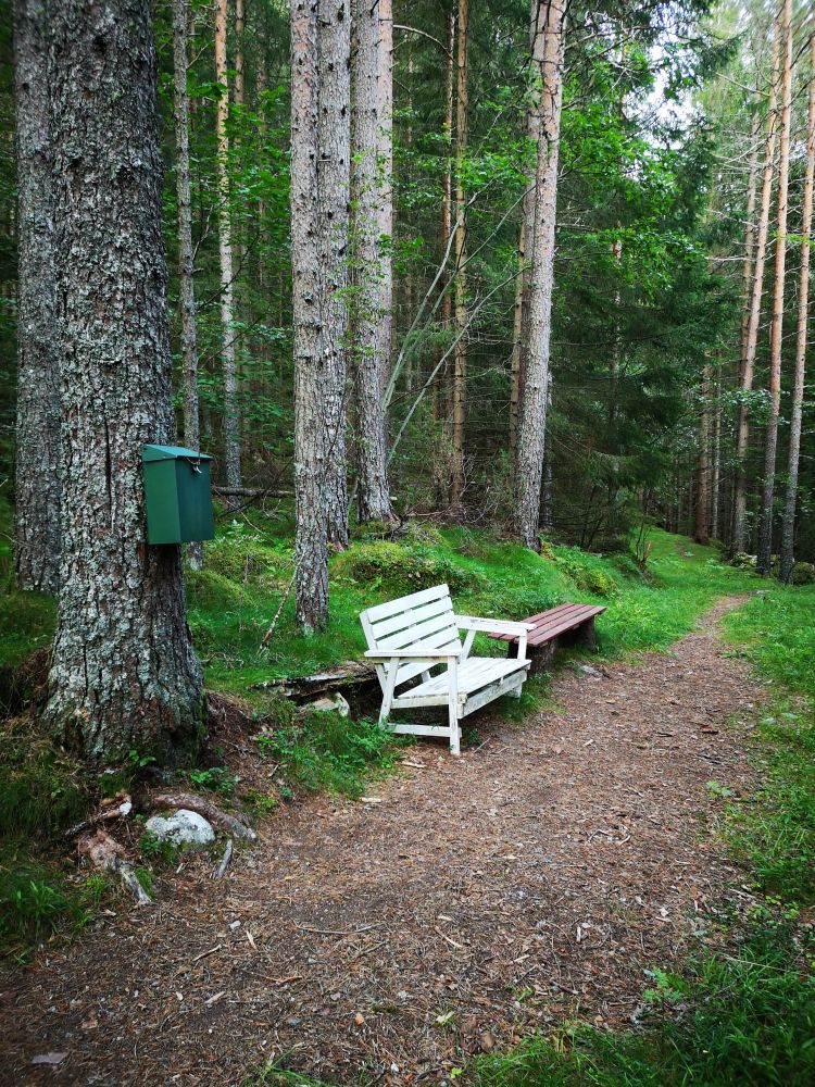
A postbox with a trail journal set up by the Todalen Sports Association.
 Driving directions
 Route data
GeoJSON
Route data
GeoJSON