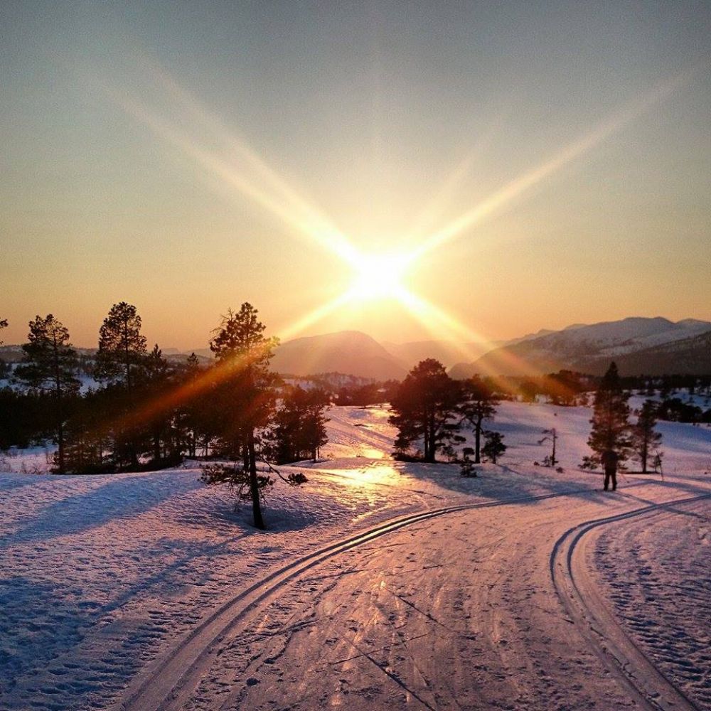
This family-friendly ski trail runs through gentle terrain. There are some slopes in the beginning, but the rest of the trail up to the top of Løålikjølen Hill covers fairly easy terrain. You can ski along well-maintained groomed ski trails here and perhaps make a fire either in the open air or in the open grill cabin on Løålikjølen.
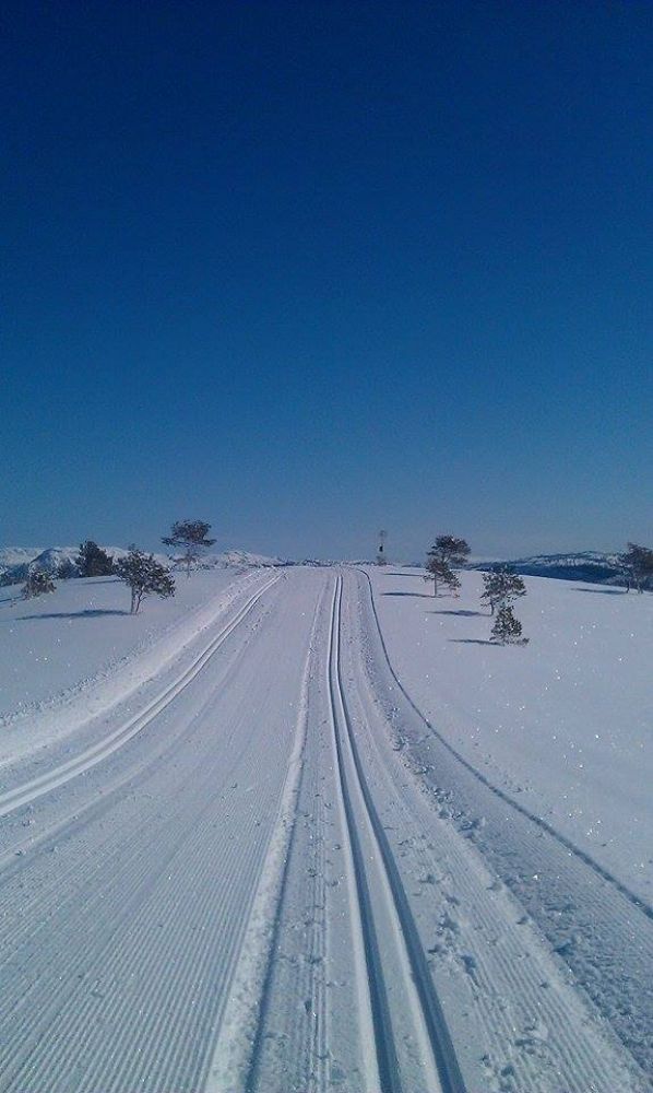
Once you have found the starting point, you cannot go wrong. Just follow the groomed ski track until you reach Løålikjølen. When you approach the starting point on your way back, the ski track splits in two. If you go right, you will come to the car park west of the Nordmarka sports centre. If you turn left, you will end up at the entry road to the sports centre which is suggested as an alternative starting point in the trail description above. It will not be a problem even if you end up at a wrong starting point. Just follow the national road back to your car.
Follow National Road 65 (RV65) for about 7 km from Skei in Surnadal Municipality in the direction of Kristiansund. After you have passed the entry road to the Nordmarka sports centre on your left-hand side, drive for a couple of hundred metres more. You will see a car park on the right side of the road where you can leave your car. Follow the groomed ski track from here to Løålikjølen.
If this car park is full, you can park by the Nordmarka sports centre and follow the groomed ski track that starts just opposite the entry road to the sports centre.
Distance
10,4 km both ways
Duration
2 t. 10 min.

Several bus routes operated by Nettbuss run past the starting point, but it might be difficult to find a route that suits you in terms of the time when you finish your ski trip.
 Driving directions
 Route data
GeoJSON
Route data
GeoJSON