Litletua from Holesanden
Hareid
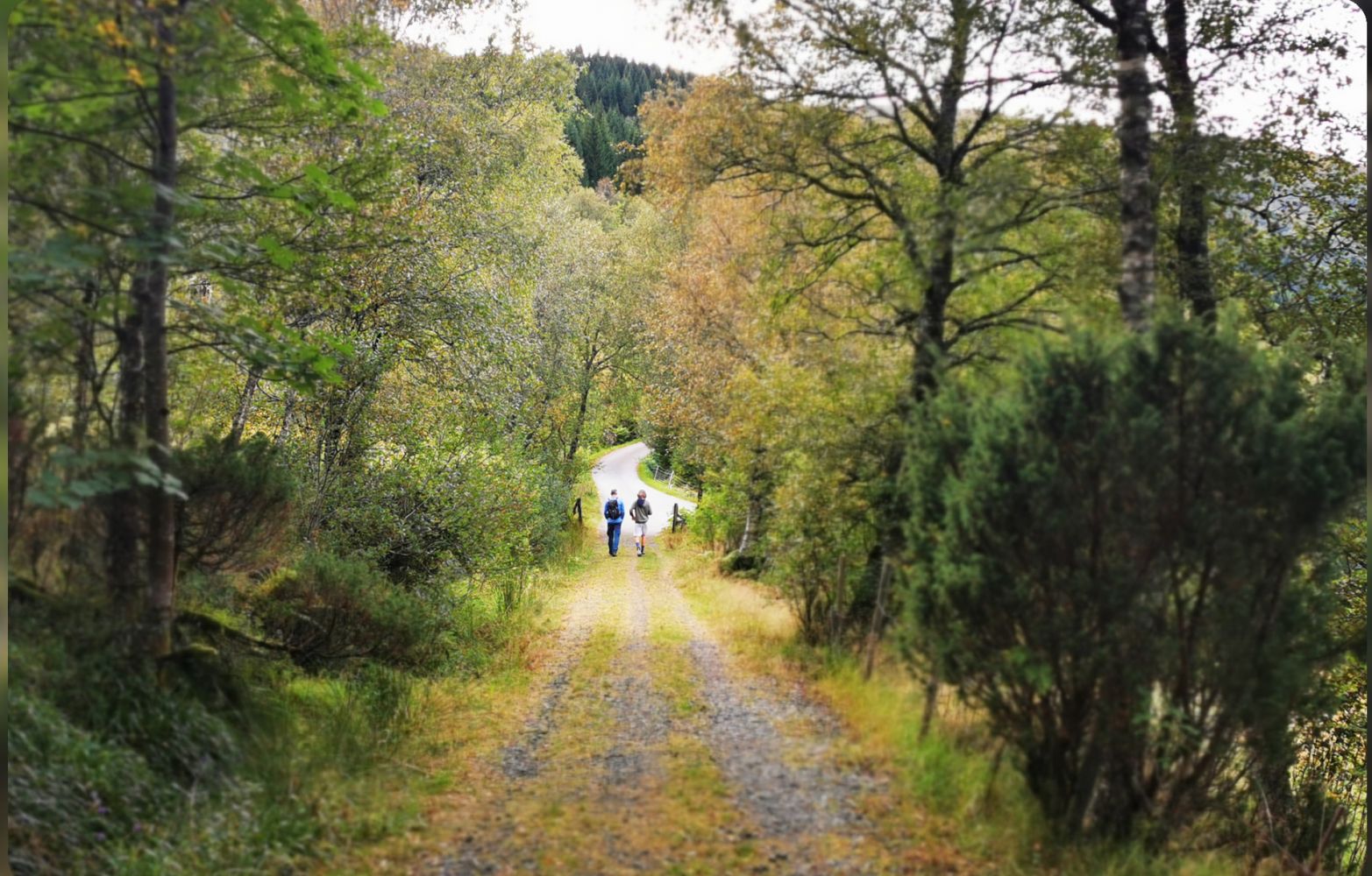
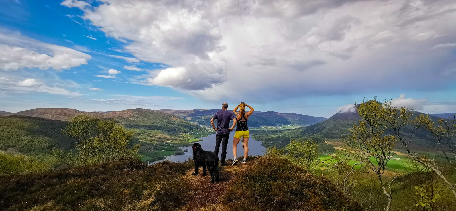
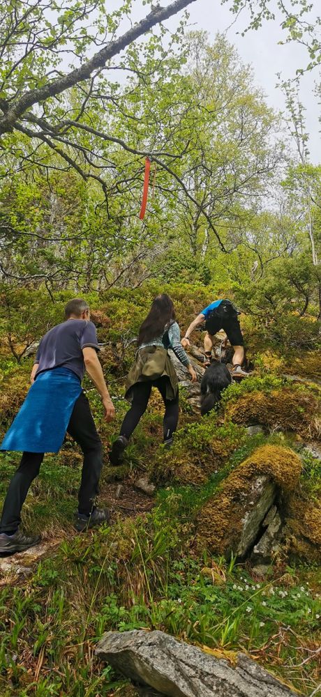
This route is easily accessed. It starts on a forest road leading up to Alskleiva. From there, there are signs pointing toward Litletua on the left. Here the path continues through thick vegetation with deciduous trees. There are also ropes in a couple of places by Grøtnakken to help you as you may need to climb a bit, but it is not a difficult hike. Great views once you reach the top, and well worth the trip.
The route starts from the parking area at Holesanden. Take a left and follow the asphalt road until you reach the junction. Take a left onto the gravel road. To your left, you will see the old Snipsøyr school, which at its time was a stately and important building. Cross a couple of farmyards and then continue onto a forest road. There are signs displaying trails to Ulsettua, Korshamna, Kvamstua and Blåtinden. you will find benches along the road. The trail leads through a lush, deciduous forest. Once you reach Alskleiva, there are signs directing you along a path to Litletua. The natural scenery is denser here. Ropes have been placed in a couple of spots to help hikers climb up slightly steep walls by Grøtnakken. But these sections are very short and in a deciduous forest. An enjoyable hike with splendid views at the top.
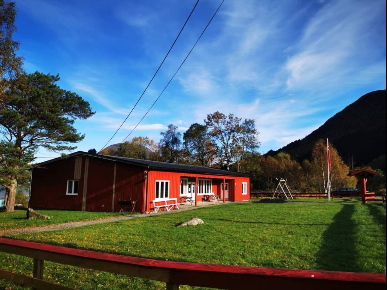
From central Hareid, follow Hareidsvegen about 4 km (towards Ulsteinvik). When you reach Bigset, turn left where you will see signs for Kvammen, 6 km. Drive to the end of Snipsøyrvatnet Lake and turn left at the junction. About 300 metres after the junction you will reach Holesanden. There is a public car park on the right side of the road with space for at least 20 cars. The trail starts here.