Despite being short and easy, the trail to Lisjenotten offers a great view of Ulsteinvik. There are two benches at the top, each offering a different view. One is placed so that you get a view of Ulsteinvik with the islets and islands stretching out to the ocean. The other one offers a view in the direction of Hasundhornet. There are several prepared and marked paths in the area, and you can go further to Notten and Hasundhornet or walk through Mininotten on your way down where you will also find a bench you can rest on. The route described here follows the blue marking and takes you directly to Lisjenotten and the view point. The walk up to the top will take you about 15–20 minutes at a leisurely pace. You can either choose to walk the same way back, follow the path with red marks, or keep walking towards Notten and Hasundhornet.
Route description
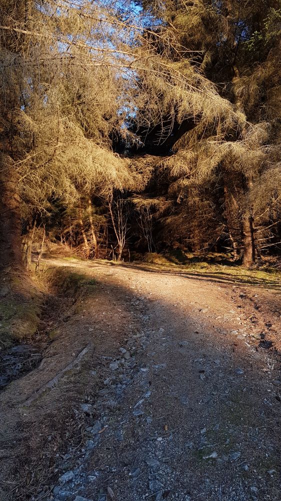
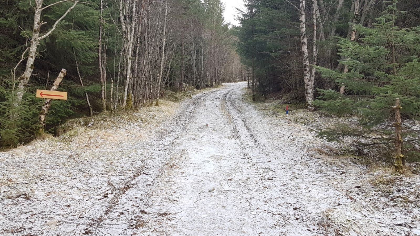
Follow the forest road that begins right from the car park. You will see the signs pointing to Hasundhornet on your way, but for the shortest way to Lisjenotten, you need to follow the blue waymarks and signs pointing to Notten. At some point, you will come across a wide path. Wet sections of the path are laid out with planks of wood. The shortest way to the top is marked with the sign that reads “Utsikt”. Just before the top, you will see a rope that you can hold on to as you climb up the final slope. This is a lovely walk through a forest which takes you up to a great view point.
Access and parking
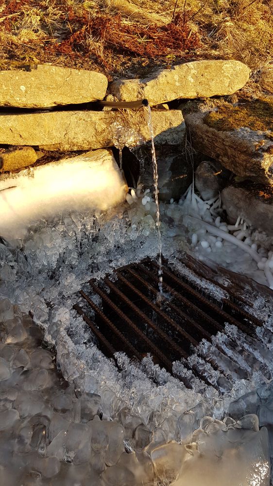
From the centre of Ulsteinvik, drive east along Strandvegen Road. Turn off at the first roundabout and follow County Road 61 (FV61) in the direction of Hareid. Take the first turn off the main road after you pass the nursing home. You can park your car free of charge here, and you can also fill up your bottle from an open water spring nearby.
Park your car by the turnoff from County Road 61. No parking fee applies.