Lidaveten from the Berknes Side
Volda
Lidaveten is one of the many mountains in Volda Municipality with the height of 500–600 m. These mountains are perfect for a morning or evening hike, or a family walk. The top of Lidaveten offers a great view in many directions. Most people start the trail to Lidaveten from Eidheim. The route described here, however, starts from the west (Berkneset) and follows what has now become a well-trodden path. This is a nice alternative to the most common route.
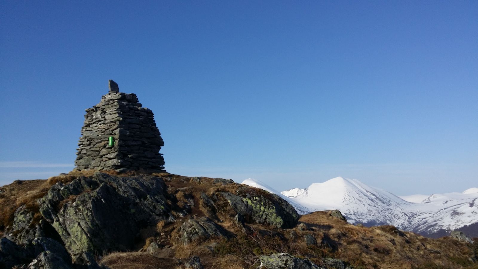
Start walking from the car park. The clear and well marked path will take you up through various types of forest. You will walk past two viewing points on the way up. Feel free to sit on one of the benches and enjoy the view (N62° 13.123' E5° 56.961' and N62° 13.149’ 56.993'). Once you come out of the forest, you will enjoy a good view as you continue to approach the top. The trail has a gradual ascent. Just before the top, there is a flat and slightly marshy area before the final ascent to the top. There is a large cairn at the top where you can enjoy a wonderful view!
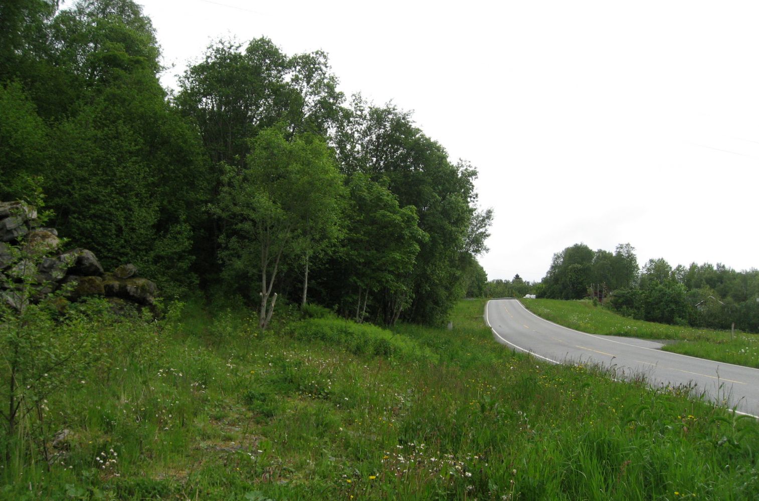
Drive along E39 from Volda to Ørsta. In Egset, turn off onto FV47 at the sign that reads “Mork rehabiliteringssenter” (Eng. “Mork Rehabilitation Centre”). Follow FV47 for about 11 km. Just after a sharp turn, you will see a garage and other buildings. This is where you can leave your car. The path begins right next to the car park. If you are driving from Ørsta, turn off onto FV47 just before the Eiksund Tunnel. Drive for about 4 km until you reach the place where you can park your car.
Park your car near the construction site/garage area.
Distance
4,1 km both ways
Duration
2 t. 30 min.

| Surface type |
Distance |
| Sti |
4,1 |
It is popular to cycle around the isthmus of Berkneset. You could cycle to the starting point of the trail, take a walk to Mount Lidaveten, and continue cycling after that.
 Driving directions
 Route data
GeoJSON
Route data
GeoJSON