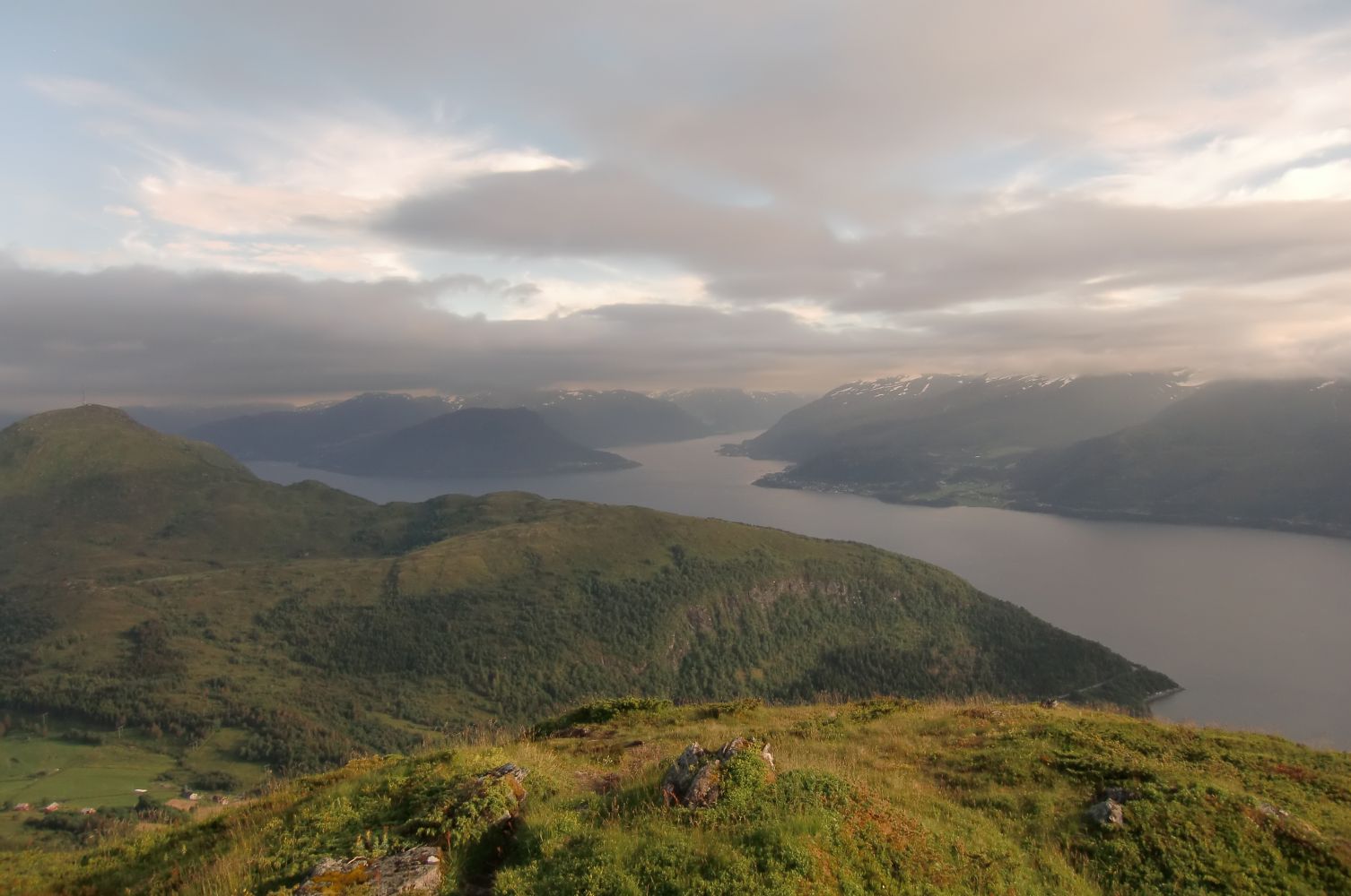
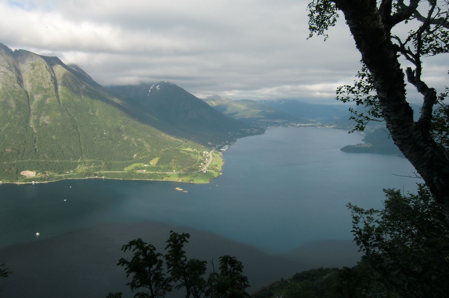
This mountain top was an important communication hub back in the time when burning a fire was the most effective way of sending a warning. There is an impressive cairn at the top.
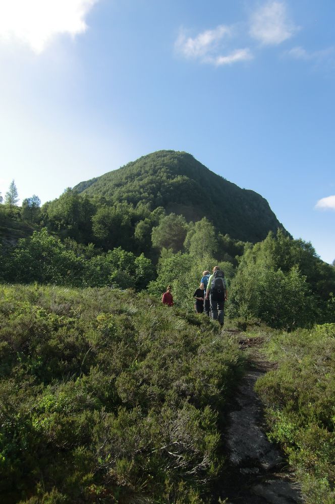
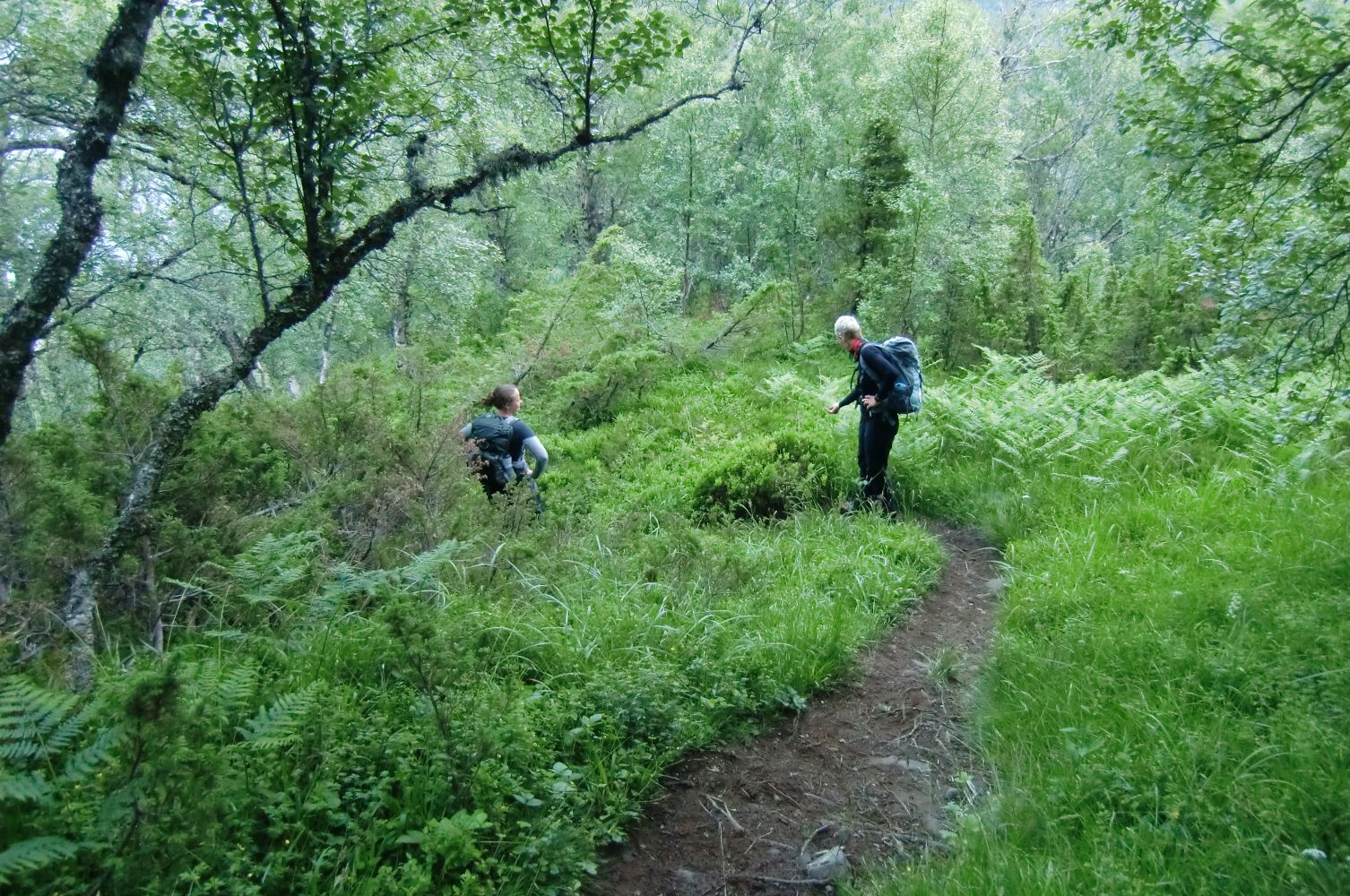
Start walking from the boom gate where the forest road begins. Walk past the Lid water plant where you will see a sharp turn east in the direction of a wooded hill. The path is clearly seen as it goes northwest along the hilly mountain ridge. There is a steep section before you walk above the tree line, just before the top.
Turn off from E39 in Mork and drive in the direction of Berkneset. After 7 km, turn off the main road at the sign for Ridesenter (the riding centre). Drive up a steep road towards Eidheim and park your car by the road sign for Eidheimsvegen where the closed toll road starts below the power line.
Written by: Standal/Hagen/Wangen: “Fotturar på Sunnmøre” (Eng. “Hiking Trails in Sunnmøre”).
You can park your car next to the toll road by the road sign for Eidheimsvegen. You will also see the sign for the trail destination there.