Farm Road to Liabekken
Surnadal
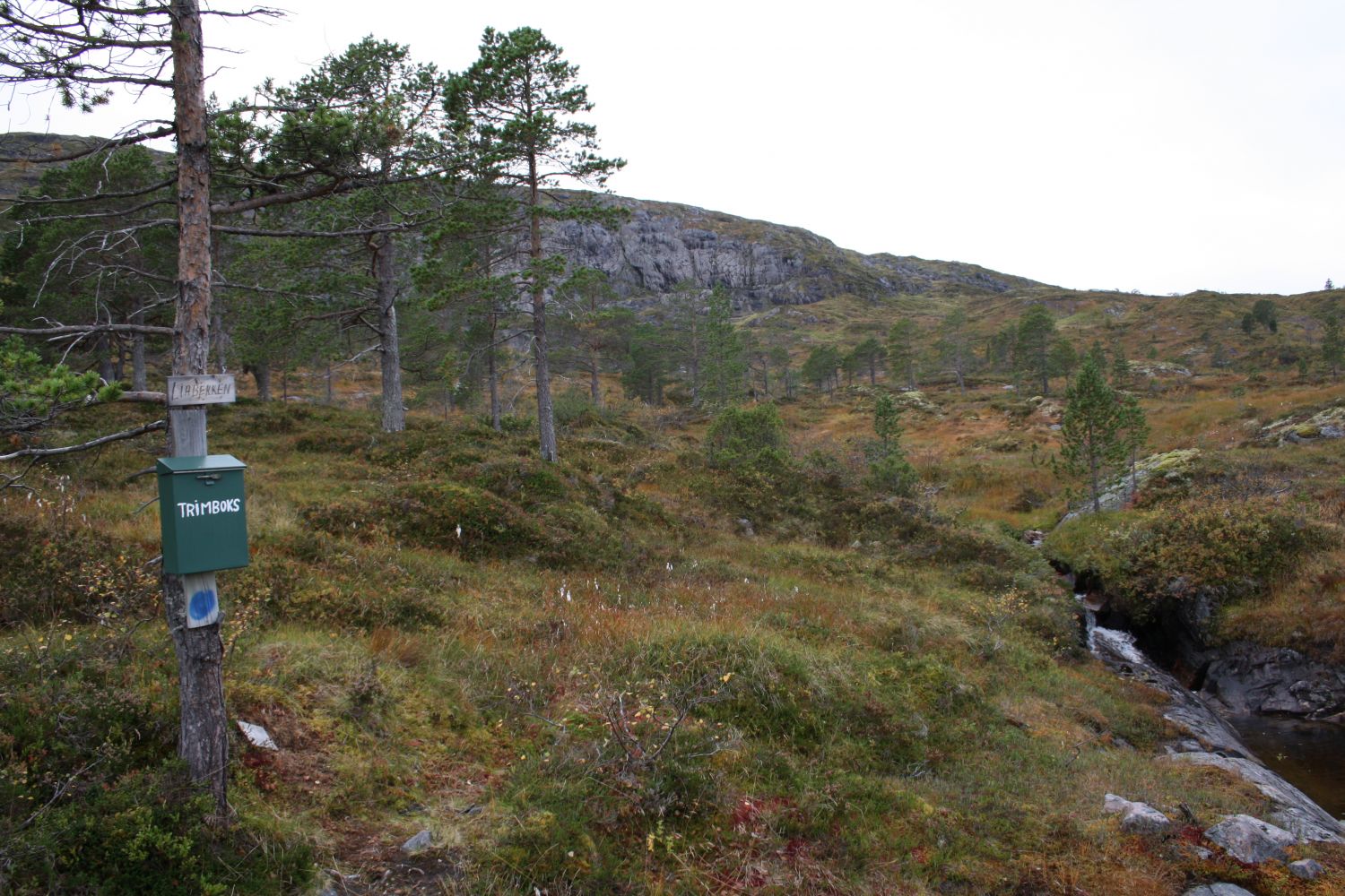
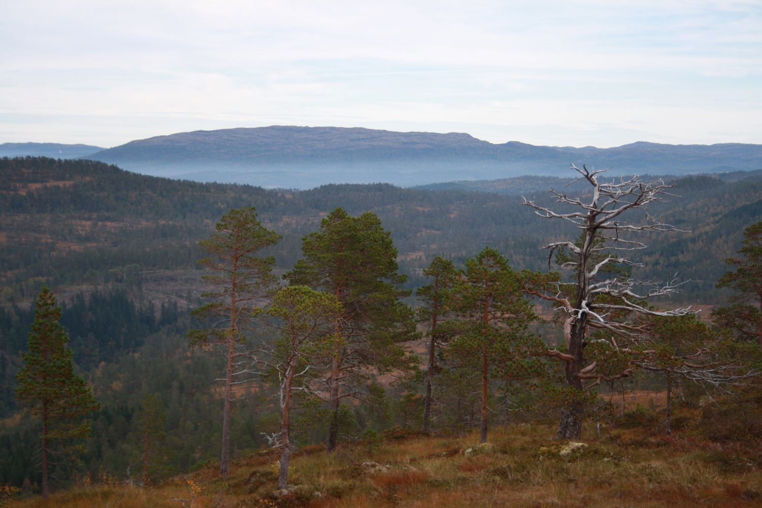
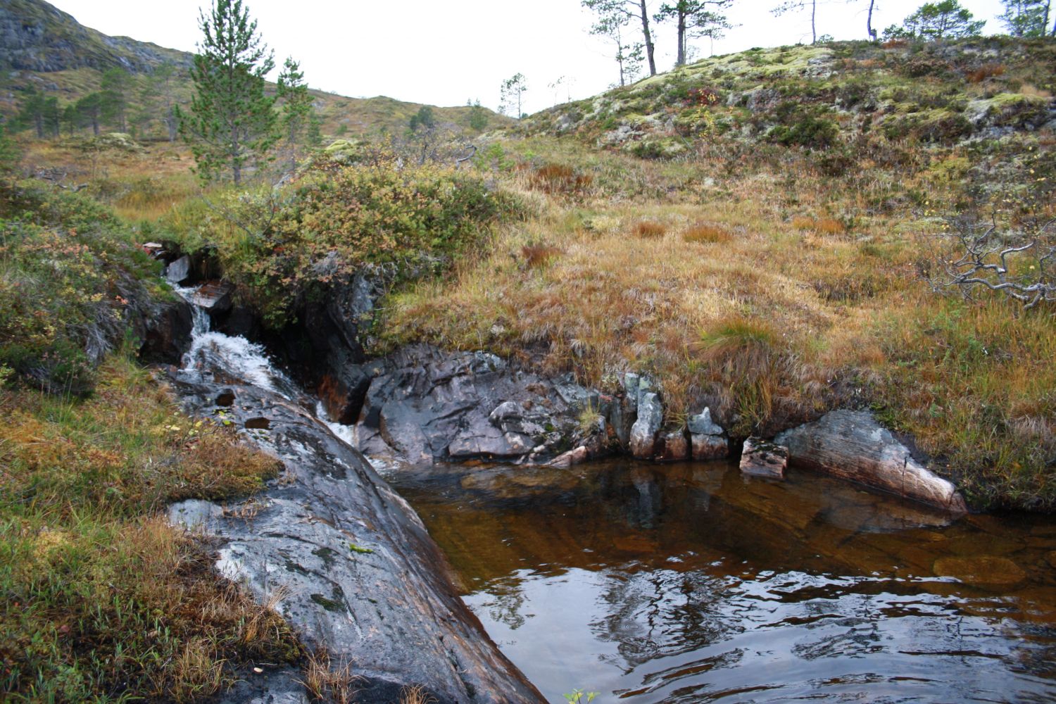
This route to Liabekken follows a farm road from Sande in Upper Surnadal to a summer mountain farm that belongs to Bortistua, Sande. From the trail postbox at Liabekken, you will get a view up Mount Sandfjellet, Nordmarka, and Duvåsen. On a hot summer day, you can take a refreshing dip in the stream near the trail postbox. If you want to extend your hike, we recommend walking further to Mount Sandfjellet or the Sandsetrene summer mountain farms.
Turn off to the opposite side of the road near the former Sande store. Drive past the former Sande dairy farm (Opptun) on your right-hand side at the foot of a hill, and follow the gravel road up Sandholten. Leave your car at the marked car park here. At the parking lot, turn off to the right and enter the old farm road. From here on, follow the signs up to Liabekken until you reach the trail postbox installed by Øvre Surnadal Sports Association. There is a separate description of the alternative route to the trail postbox at Liabekken on morotur.no. This path is also signposted. It is a bit longer, but not as steep as the route described here. If you follow this alternative route on your way back, you will enjoy a nice loop trail.
The starting point of the trail is in Sande, Upper Surnadal. If you are driving along national road 65 in the direction of Trondheim, it will be just under twenty kilometres from Skei, the centre of Surnadal. You will enter the 60 km/h speed zone here. After a couple of hundred metres, turn onto a gravel road on the right side of the national road. The trail is signposted from here on. The gravel road takes you from the national road to a red house (Opptun) that lies just off the road on the right-hand side. This was the original dairy farm in Sande. Drive up the hill and park at the designated area.
Duration
2 t. 20 min.

Signage
Both signed and marked
It is possible to get here by bus. Please check the Nettbuss bus routes between Skei and Trondheim.
When you park your car, please keep in mind that the forest road is also used by wide agricultural machinery.
The path is marked according to the national standard.There are also signs with names of local places along the route.
Surnadal hiking map or Trollheimen tourist map.
 Driving directions
 Route data
GeoJSON
Route data
GeoJSON