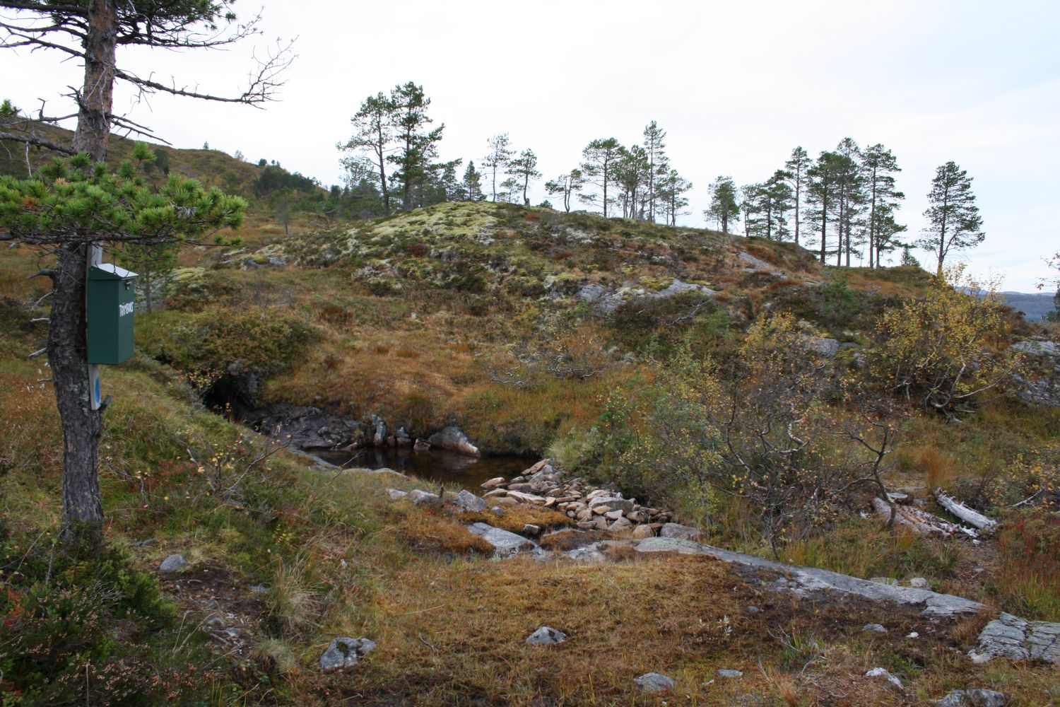
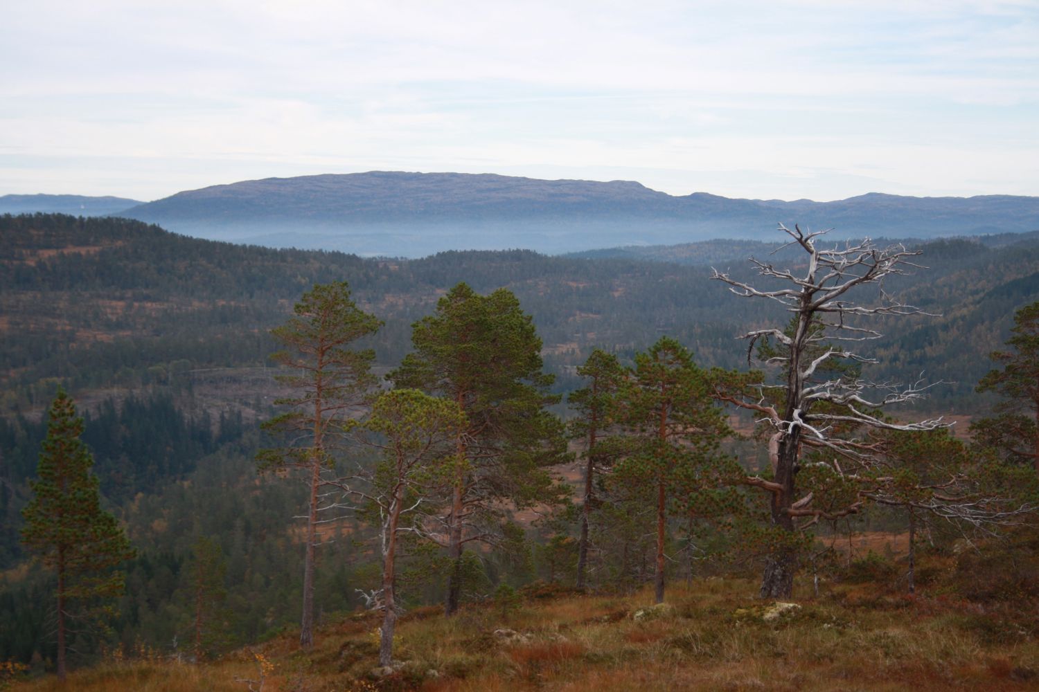
This trail is part of the marked path from Sande in Upper Surnadal to a summer mountain farm in Bortistua, Sande. There are signs with names of local places along the route. At some point up on the hill, you can stop by the marked spring well and take a well-deserved break with a sip of the ice-cold water. From the trail postbox at Liabekken, you will get a view up Mount Sandfjellet, Nordmarka, and Duvåsen. On a hot summer day, you can take a refreshing dip in the stream near the trail postbox. The trail ends at the trail postbox of Øvre Surnadal Sports Association at Liabekken.
Turn off to the opposite side of the road near the former Sande store. Drive past the former Sande dairy farm (Opptun) on your right-hand side at the foot of a hill, and follow the gravel road up Sandholten. Leave your car at the marked car park here. Then follow the tractor road/forest road further until you come across a spruce wood and the road crossing. Turn to the right and walk up a very steep hill. A trail postbox called Pekkan is located at the top of this hill. Once you reach Pekkan, turn left and cross the Estenskleivbekken brook. Keep to the right just after the brook. Continue walking up the tractor road until you come to a sharp turn. Turn right. Then walk straight ahead and turn left at the next junction. From here, you need to walk up quite a steep hill until you come across a marked path to Liabekken. Follow this marked path all the way up to the trail postbox.
The starting point of the trail is in Sande, Upper Surnadal. If you are driving along national road 65 in the direction of Trondheim, it will be just under twenty kilometres from Skei, the centre of Surnadal. You will enter the 60 km/h speed zone here. After a couple of hundred metres, turn onto a gravel road on the right side of the national road. The trail is signposted from here on. The gravel road takes you from the national road to a red house (Opptun) that lies just off the road on the right-hand side. This was the original dairy farm in Sande. Drive up the hill and park at the designated area.
Duration
2 t. 45 min.

Sesong
Spring, Summer, Autumn
Signage
Both signed and marked
| Surface type |
Distance |
| Sti |
3,8 |
Mørelinjen Route, get off in Sande, Upper Surnadal
The path is marked according to the national standard in spring 2017.
 Driving directions
 Route data
GeoJSON
Route data
GeoJSON