Leinehornet on Leinøya
Herøy
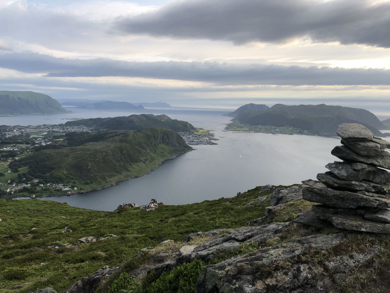
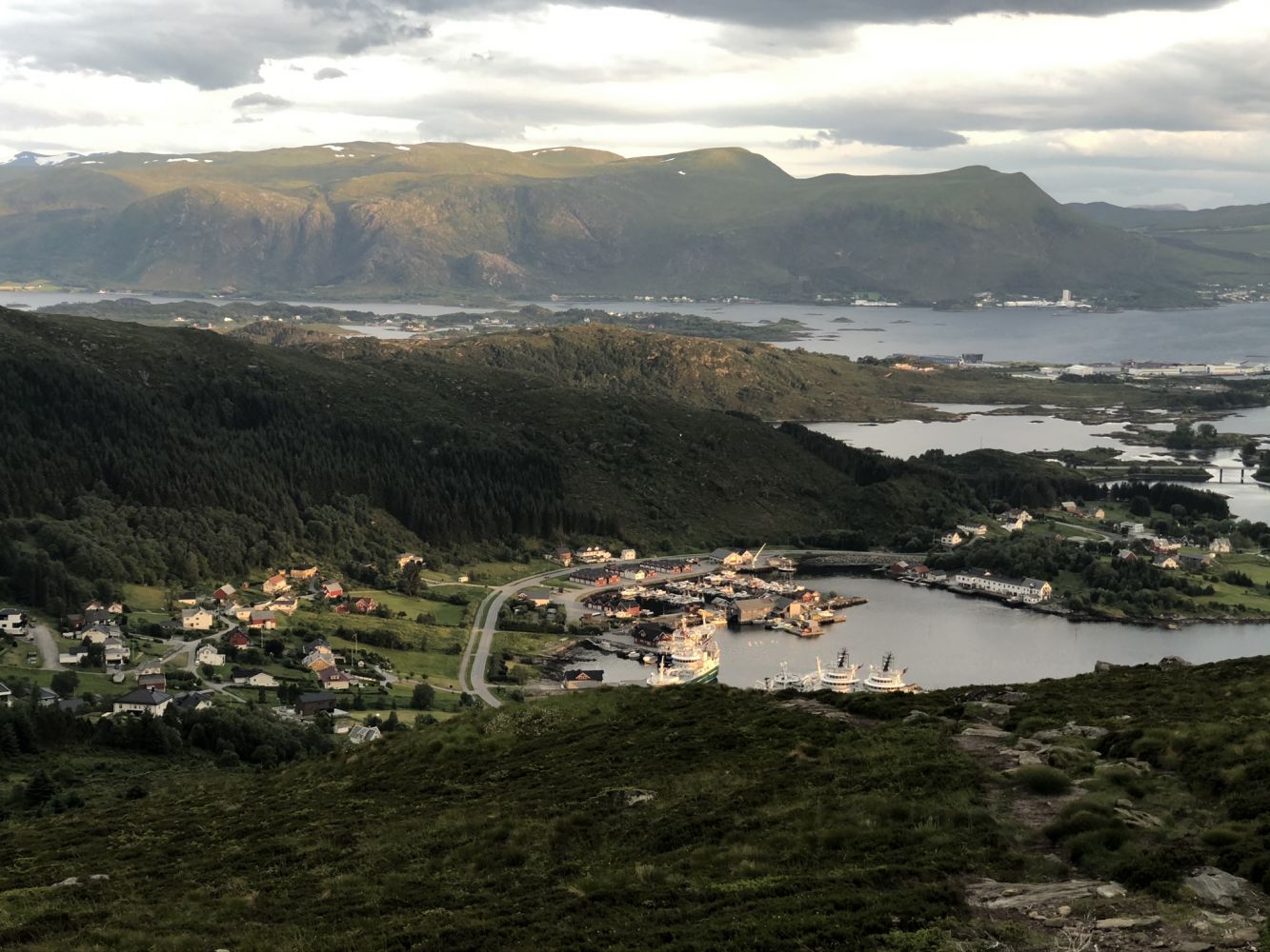
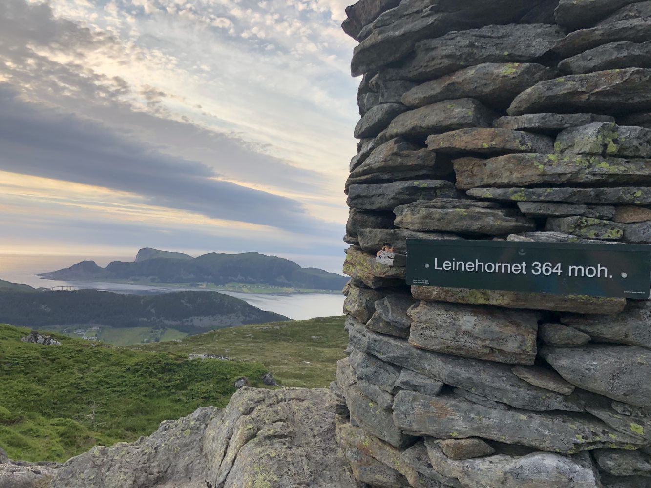
Leinehornet, 364 m a.s.l. is the highest point on the island of Leinøya, which means you will get a good view of the other islands in Herøy Municipality. Ulsteinvik and the mountains in Ulstein Municipality are also clearly seen from here.
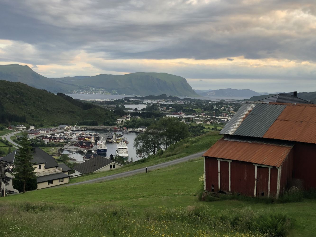
Start by walking from the car park up through the village until you reach Leinestøylen. Continue along the path that runs northwest until you reach the peak. The entire trail is well signposted.
Follow FV654 in the direction of Fosnavåg. Turn off onto FV5876 Leinevegen and follow it for about 2 km. Park your car by the road down the village. Follow Støylavegen Road as it climbs up through the village until you reach Leinestøylen. From there, follow the path to Leinehornet.