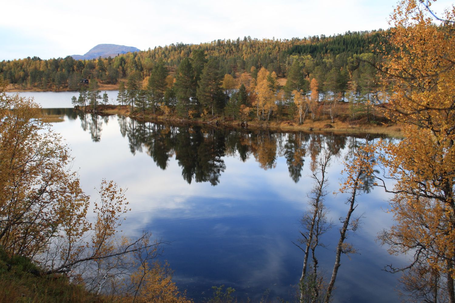
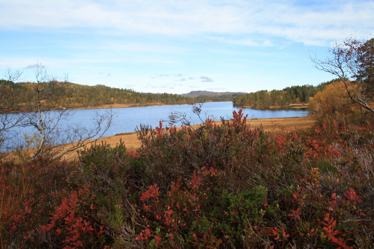
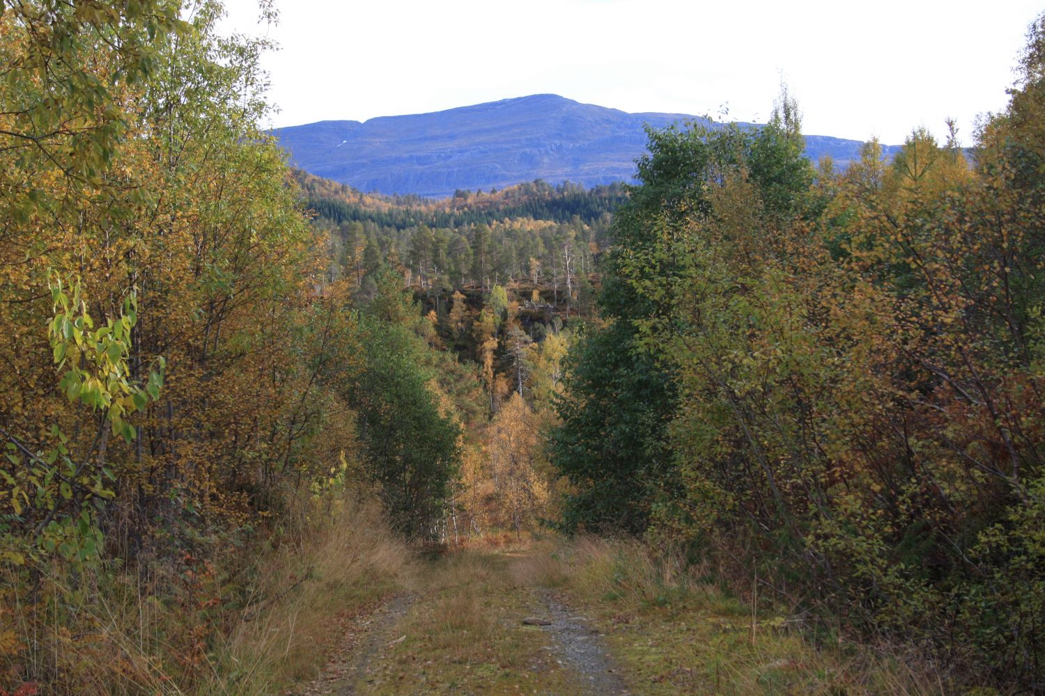
This trail covers relatively flat terrain and is accessible for most people including beginner hikers. It is also popular among runners. You will follow a forest road which does not offer that much of a view, but you will be rewarded when you reach the beautiful lake Langvatnet.
The starting point of this hike is by the national road above Berseten where a forest road climbs up the hillside. Follow that forest road and walk through the boom gate. Keep walking along that road until it splits in two. Take the left turn. From here, you are only a short distance away from Lake Langvatnet with a trail postbox and a journal where you can write your name. If you walk past the postbox and follow the ridge of the hill down to the lake, you will also find a picnic bench to sit on.
Take the left turn of the road just above Berseten. You will see a small section of an old road at the outer edge of the turn and a forest road that climbs up the hillside.
Park your car on the remaining section of the old road and start walking from there.
Duration
2 t. 20 min.

Sesong
Spring, Summer, Autumn
Signage
Both signed and marked
| Surface type |
Distance |
| Grus |
8,2 |
If you only follow the gravel road, a pair of trainers would be enough, but you will need some waterproof footwear if you want to go down to the lake where the surface is quite wet.
Nettbuss operates some bus routes that run past the starting point but the locals usually get there by car.
 Driving directions
 Route data
GeoJSON
Route data
GeoJSON