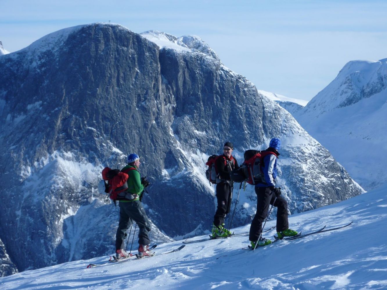
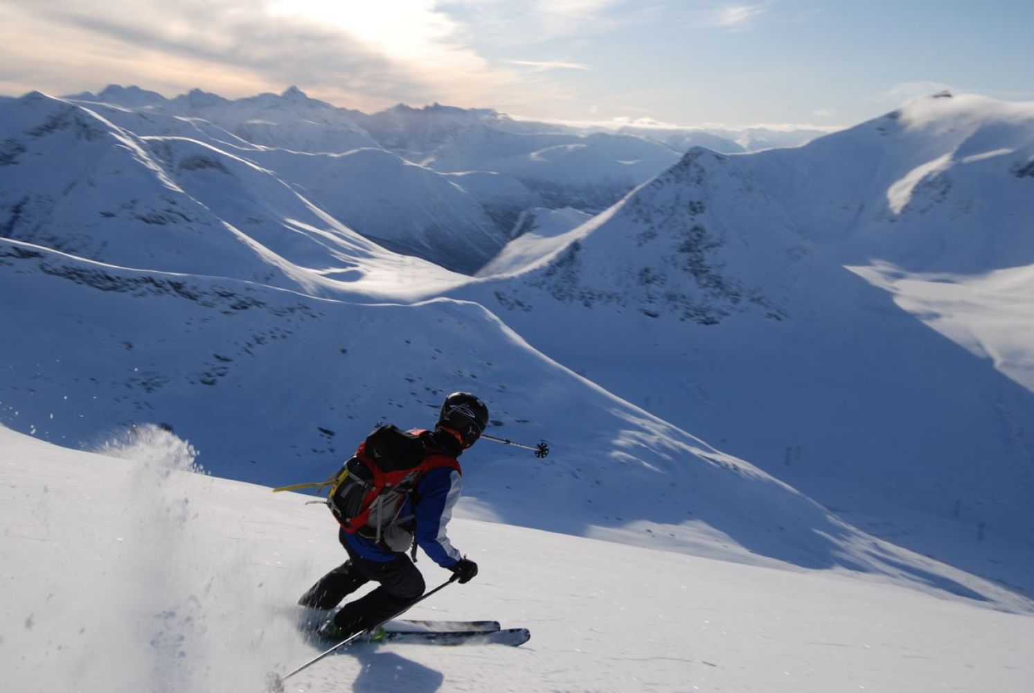
This amazing ski trail follows a mountain ridge with the village of Eresfjord and Lake Eikesdalsvannet on one side, and a view of the famous Romsdal mountain range on the other. The view you get to experience as you approach the mountaintop is one of the best in the area. The slope straight down and west of the top usually has good snow conditions. Follow the road to Horndalen until you reach the car park (UTM32N 6946963.0N 450298.0E).
Drive to the highest point of the mountain pass Vistdalsheia. From there, go south following the western side of Mount Uglehaugen. After about 1.2 km, go east through the mountain gap between Uglehaugen and the ridge that goes up Kvitfjellet. From here, simply follow the ridge up to the mountaintop. Note! Along the ridge, especially as you approach the top and once you reach it, a snow cornice often forms on the east side. Keep away from that cornice. The downhill slope straight down or west of the mountaintop usually offers good snow conditions. Keep the height as you move back north along the Horndalen Valley.
The trail starts at the highest point of the mountain pass Vistdalsheia. UTM32N 6947841.0N 450949.0N
Alternatively, you can start from the sharpest turn of the road from Vistdalen up towards Vistdalsheia. UTM32N 6946963.0N 450298.0E
Park your car either at the highest point of Vistdalsheia or at the endpoint of your ski trip.
Duration
3 t. 45 min.

It may be a good idea to use two cars to avoid having to walk up to Vistalsheia to pick up the car after skiing down from the mountaintop.
Topographic map series – M711 Sheet 1320 II Eresfjord
 Driving directions
 Route data
GeoJSON
Route data
GeoJSON