This trail offers a diverse experience full of cultural and historical memories along the way. You will find information boards and boxes with the audio guide that you can use to learn about local events and listen to the stories from the past.There are several sea caves around the island which are also worth seeing. The Rønstadhellaren Cave as well as the Setshellaren Cave (62.635221 N, 6.154949 E) are wonderful tourist destinations in their own right. It is dark inside Setshellaren, so make sure to take a flashlight with you.
Route description
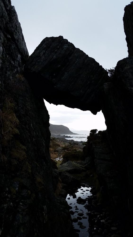
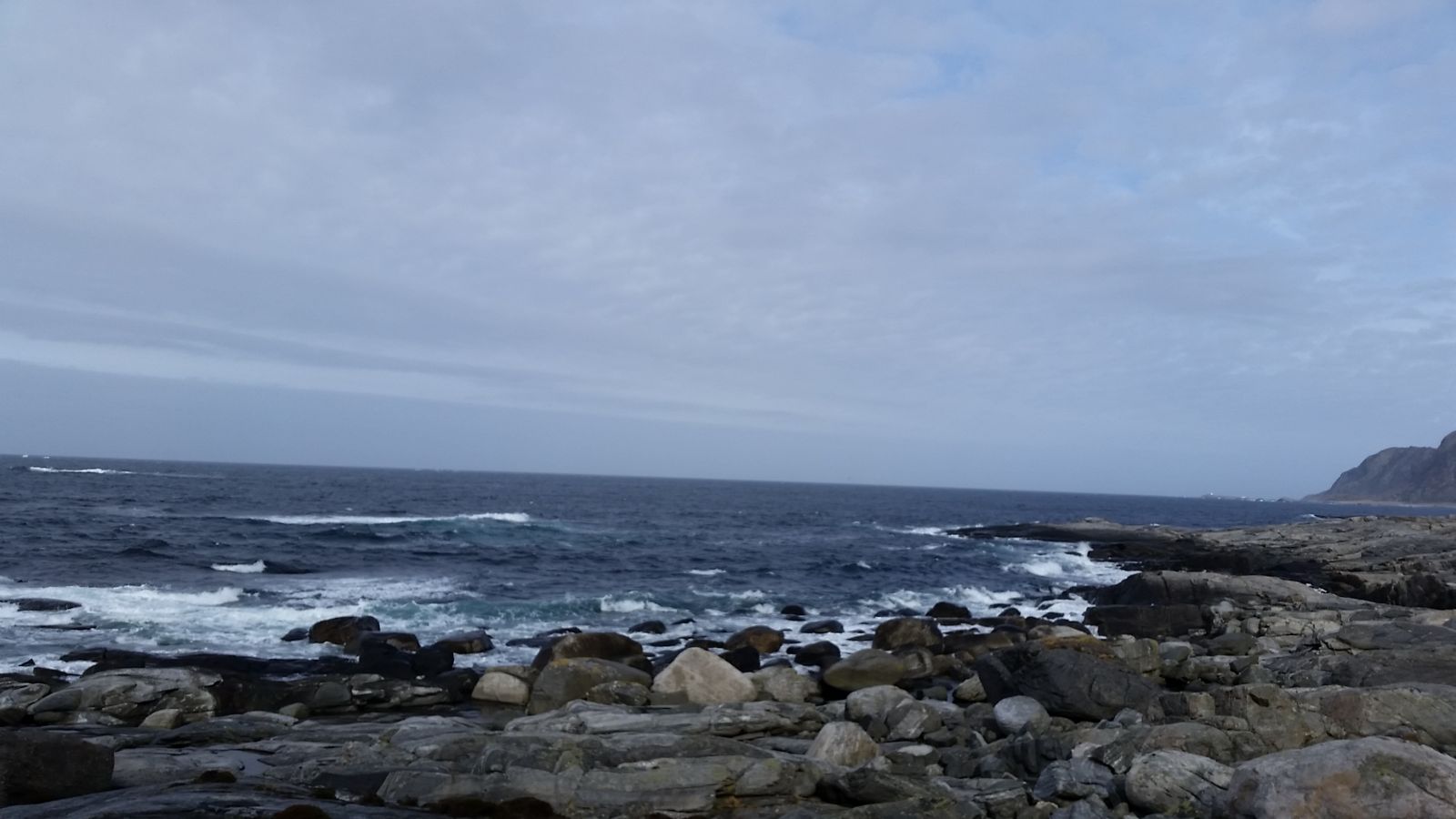
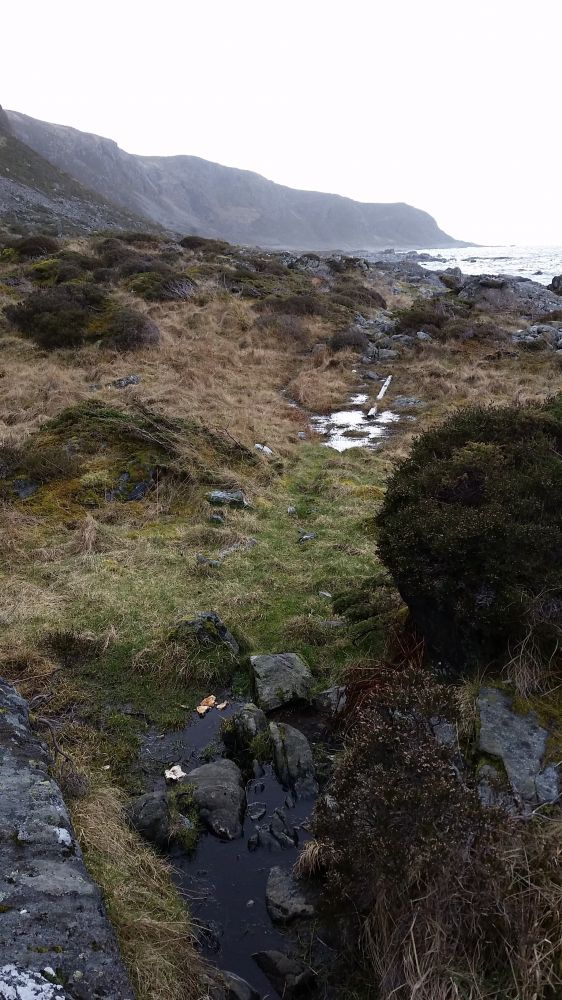
You will follow a well marked path that goes along the coast close to the ocean. The path runs through smooth rock slopes and can be slippery in rainy weather.The section of the trail between Rønstad and Rået can be a bit challenging as it involves some climbing, but you can follow an alternative route called Øvsteråsa which is waymarked from Rået and Rønstad. In that case you are going to skip Smalhans, but you will get a great view over Rået instead.
Bryggja: flat and smooth rock slopes with golden root growing from mountain walls, and the open sea. ( 62.632728N, 6.127759E ) approximately midway between Rønstad and Hellevik
Access and parking
You can start the trail either from Hellevik (62.633796 N, 6.167005 E) or from Rønstad (62.613225 N, 6.161336 E).
The distance from the ferry terminal to Rønstad is 6 km along the motor road, and there are plenty of parking spaces.
The distance from the ferry terminal to Hellevik is 4 km along the motor road, but there are more hills and fewer parking spaces available.
Rønstad: good parking opportunities
Hellevik: not so good parking opportunities
Hiking route
Blue
Distance
6 km one way
Elevation
97 m
Duration
3 t. 10 min.
Sesong
Winter, Spring, Summer, Autumn
Highest Point
31 masl
Signage
Both signed and marked
Mobile coverage
Map route
Surface type
Distance
Sti
12
Other
The trail can be very slippery in sub-zero temperatures. The rocky areas are especially slippery when it is frosty.