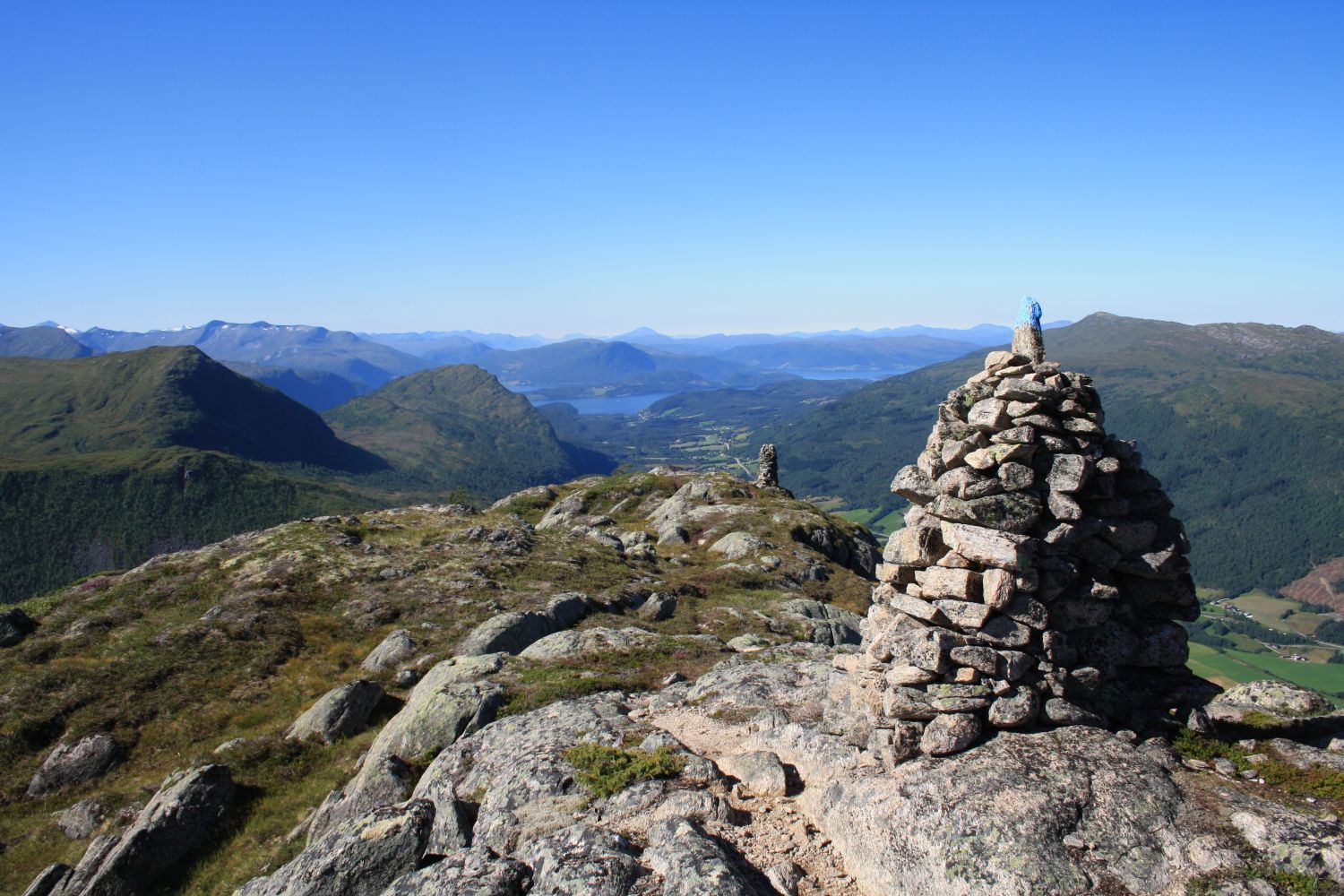
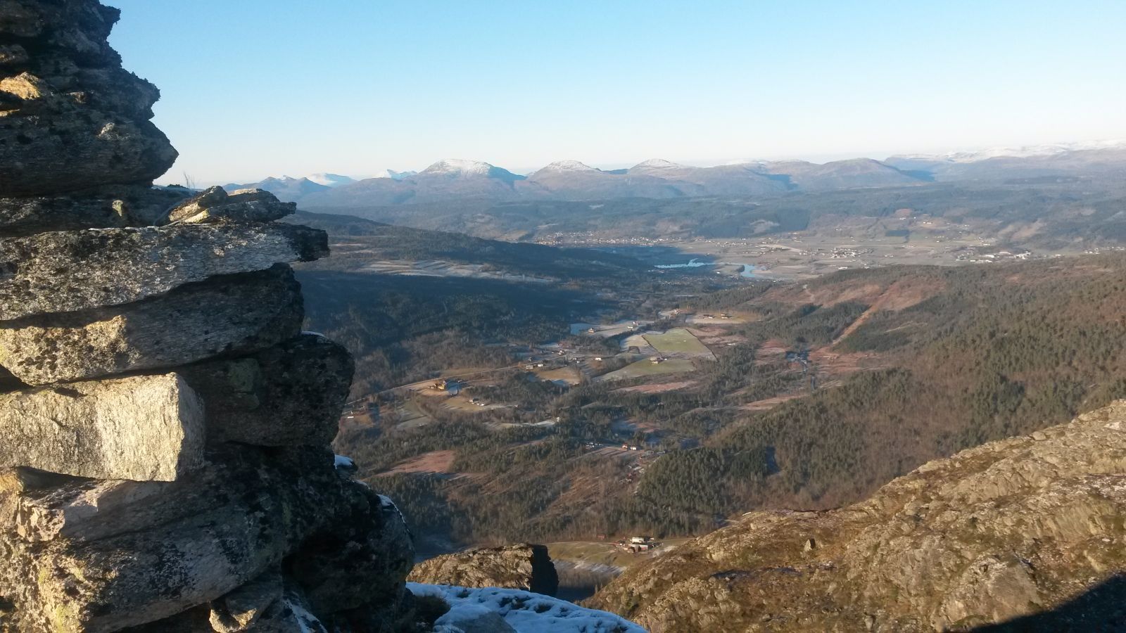
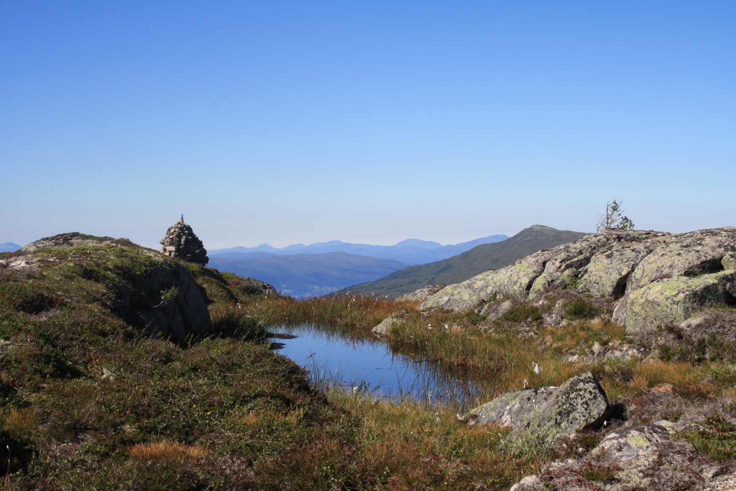
Kristiansvarden on Mount Skarfjellet
Surnadal
This is a short, but quite a tough trail. The 2.2 km section of the path from the car park up to Kristiansvarden has an ascent of 600 metres. This is why the trail might take you a long time, but it has a lot to offer in terms of the outdoor experiences you will get in return. Once you reach the top, the terrain will be relatively flat, in case you want to extend your hike.
Walk from the car park for only a couple of metres further and turn off onto a path that starts on the right side of the road. Follow the marked path up to Kristiansvarden.
Drive for about 6 km from Skei in Surnadal Municipality in the direction of Kvanne. Turn off onto a hairpin bend on the left side of the road and drive down the plain towards Kvennbøen. Drive straight ahead. After you have passed the bridge over the river, you will reach the farms in Kvennbøen. Turn left at the first building and drive over another bridge. Then drive up the toll road that starts here. After about 1 km, you will see a bridge on the right side of the road. This is the starting point of the signposted trails to Tela, Middagshaugen, and Fossafjellet. Park your car at the small car park there.
Duration
2 t. 40 min.

Sesong
Spring, Summer, Autumn
| Surface type |
Distance |
| Sti |
4,4 |
Remember to pay the toll fee!
 Driving directions
 Route data
GeoJSON
Route data
GeoJSON