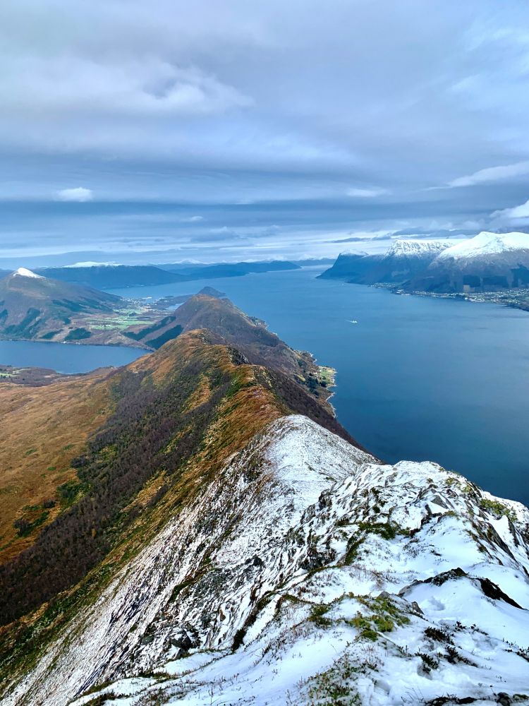
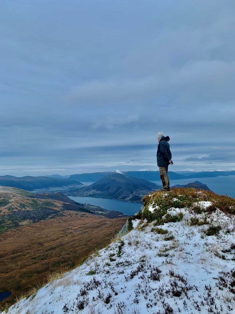
This is perhaps the most spectacular route on Hareidlandet. you will have panoramic views of the Sunnmøre Alps, Vartdalsfjord, Breisundet fjord and the entire municipality.
The route starts from the parking area at Holesanden. Take a left and follow the asphalt road until you reach the junction. Take a left onto the gravel road. To your left, you will see the old Snipsøyr school, which at its time was a stately and important building. You will cross a couple of farmyards and then continue on a forest road. There are signs displaying trails to Ulsettua, Korshamna, Kvamstua and Blåtinden. You will find benches along the road. The trail leads through a lush deciduous forest, and at the top of Alskleiva there are great views of the fjord and Vartdalfjell to the southeast, and of Snipsøyrvatnet and Hareidsdalen to the north. The route along the 2-kilometre-long mountain ridge from Kvamstua to Kongsvollen (683 m.a.s.l.) is slightly hilly at first and steeper for the last 100 metres, but the trail remains good. The trail up here is called "Bukketrappa". Although the trail becomes steep, it is unlikely you will need to use your hands to climb the mountain ridge.