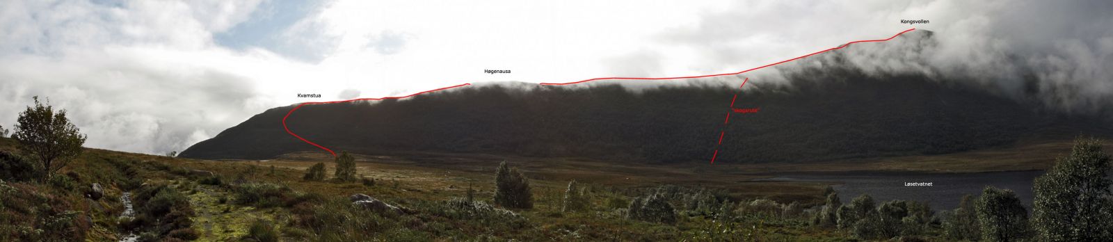
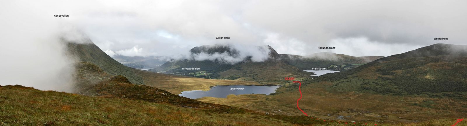
Kongsvollen (683 m.a.s.l.) is located right by Vartdalsfjord and is the highest mountain in Hareid municipality. Follow the trail up to Kvamstua first to get a good view of the fjord during much of the hike to the top.
Follow the road through the cabin area north of Løsetvatnet Lake. After 5-10 minutes, you will see a clearly marked trail through the marshy terrain in the direction of Kvamstua. The mountain ridge here is treeless, while the mountainside is otherwise wooded. You can take a shortcut by heading directly from Løsetvatnet Lake through the woods. There's a good chance you will see a clearing in the woods, and the trail is at its steepest in the upper part of the woods. This is a route that works best as a last resort. The 2-kilometre-long mountain ridge from Kvamstua towards Kongsvollen (683 m.a.s.l.) is slightly hilly before becoming steeper the last 100 metres, but the trail itself is always good. This trail is known as "Bukketrappa". Although the trail is at a high altitude, it is not necessary to use your hands to climb this mountain ridge.
While on the Rv61 between Ulsteinvik and Eiksund, follow the sign towards Haddal. Drive another 300-400 metres and follow the sign to Ringsstaddalen. it is just 4 km to the trailhead with an exit to a neighbourhood of cabins. On the side of the road is a trail sign marked Blåtind.
There is an alternative access across the mountain from Hareidseidet. Exit about 500 metres east of the highest point on the isthmus. After another 500 km, you will see a new exit on the left, with another 6 km to the trailhead.