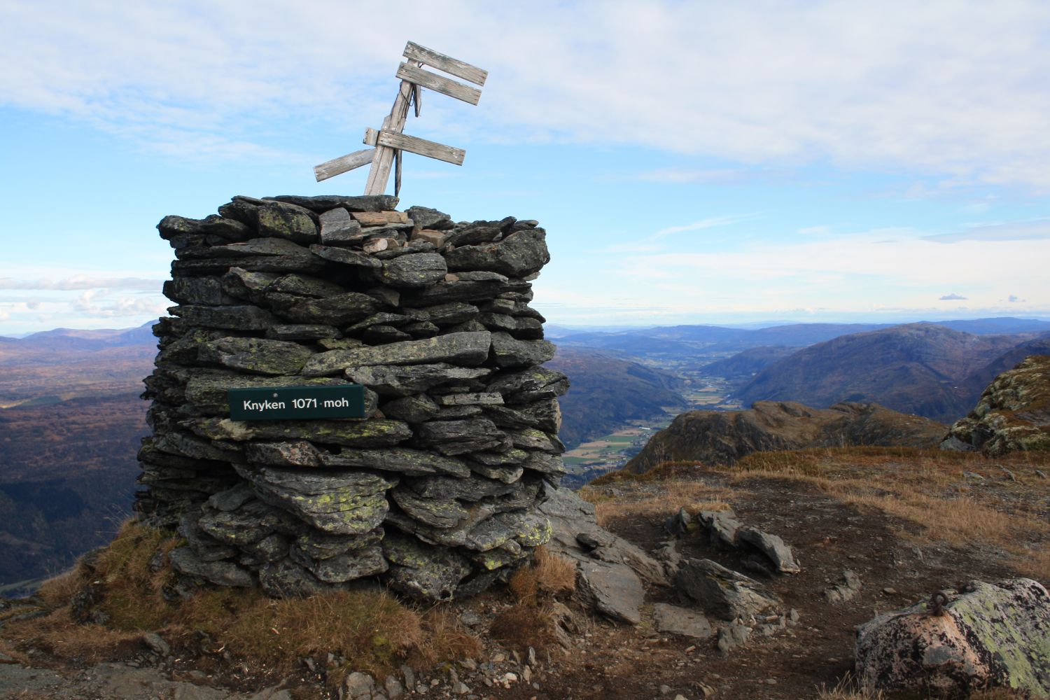
Mount Honnstadknyken, also known by the name of Knyken, rises to 1071 metres above sea level in the centre of Surnadal. Despite the height, with an extra day to spare, this trail destination is a realistic goal for most people. The trail involves a lot of elevation gain, but because it is quite long, the uphill slopes become manageable.
The easiest option is to drive up the toll road that runs through the Skeisnebba cabin area and park your car at the end of that road. From here, you can follow a marked shortcut that will later lead you onto the “official” path to Knyken. This path actually starts at the final road turn before its highest point, but it is possible to park only one car there. Alternative route: To extend this hike or to save money on the toll fee, you can park down by the national road. In that case, walk up to one of the starting points further up the hill.
There is a car park at the end of the toll road that runs up through the Skeisnebba cabin area. Alternatively, you can start from the national road (before the boom gate) or from the information board by the final turn of the toll road before its highest point. If you start down by the national road, you can take a bus (Nettbuss bus service) to the starting point. Remember to pay the NOK 60 toll fee for a private car!
Duration
8 t. 20 min.

Signage
No signage or markings
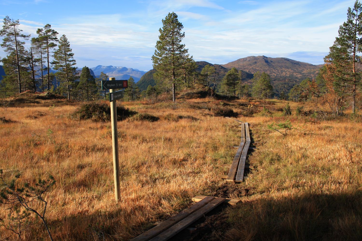
Many of the wettest sections of the trail are laid out with stones and wooden footpaths. The path is marked according to the national standard.
Note: The GPS file shows the official (older) path. If you take the shortcut from the top of the toll road, you
If you start down by the national road, you can take a bus (Nettbuss bus service) to the starting point.
 Driving directions
 Route data
GeoJSON
Route data
GeoJSON