Knottahornet is an easy trail with a beautiful view from the peak. You will see Gursken, Haugsbygda, Sandsøya, Kvamsøya, and the mountains of Sande and Vanylven. Knottahornet is an easy hiking destination for a quick evening walk when you can enjoy a beautiful sunset. The Gursken Sports Association (Gursken IL) set up a trail post on the peak.
The trail starts from the car park at the highest point of Drageskaret. Follow the Langhamrane mountain ridge until you reach Kvilesteinen. Once you reach the edge of the mountain, turn left over a marsh and continue up the peak. Note that on most maps, the peak marked as Knottahornet lies south of the real Knottahornet.
Park your car along County Road 61 (FV61), at the highest point of Drageskaret, between Gursken and Larsnes.
Duration
55 min.

Sesong
Spring, Summer, Autumn
Signage
Both signed and marked
| Surface type |
Distance |
| Sti |
0,9 |
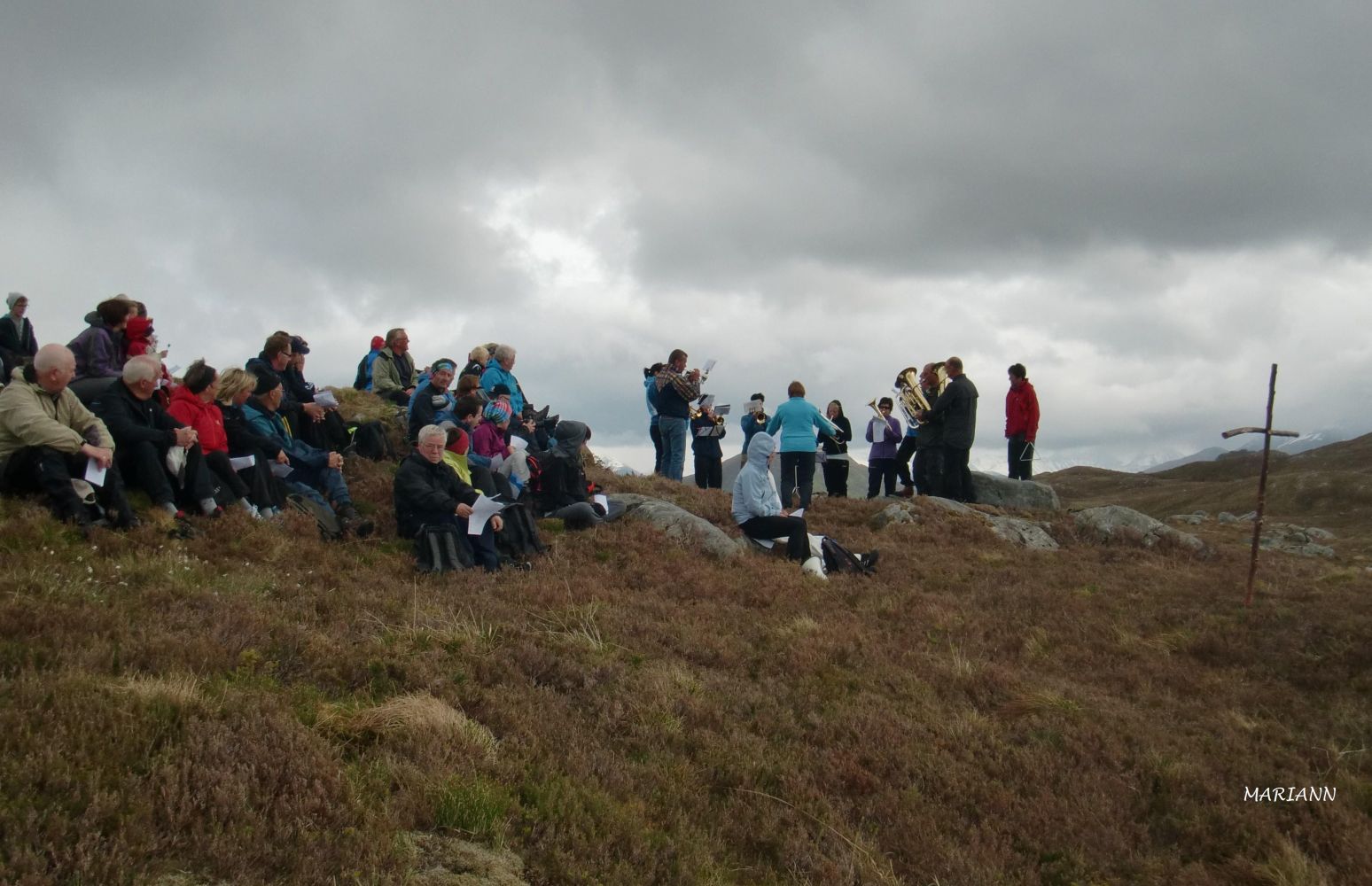
There is a tradition to hold public worship on Knottahornet on Whit Monday.
Ytre Søre Sunnmøre hiking map, M711 1119 III, Sunnmorskart.no
 Driving directions
 Route data
GeoJSON
Route data
GeoJSON