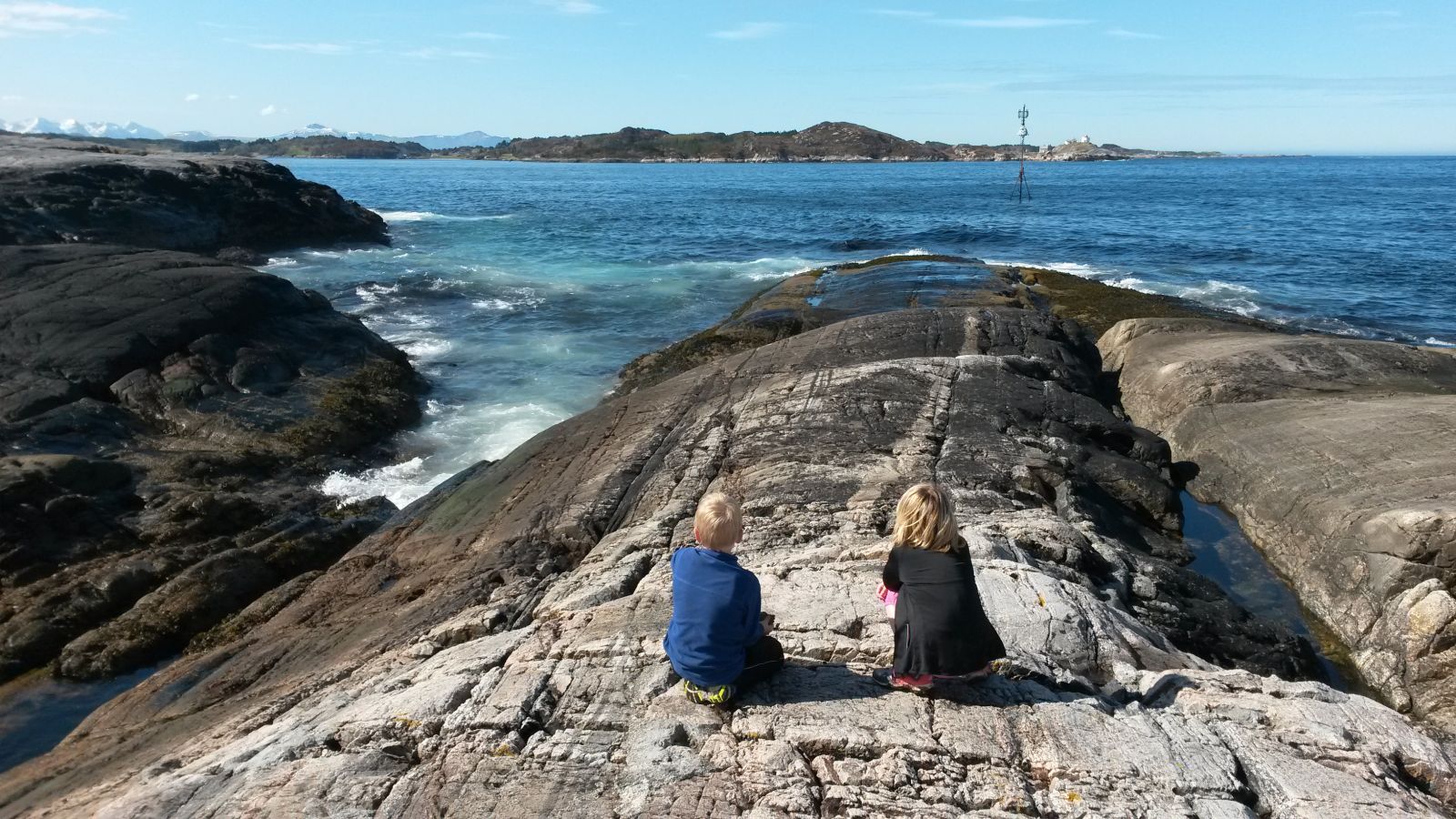
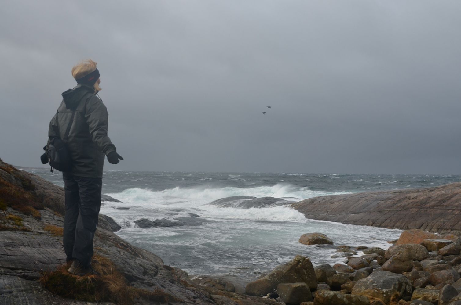
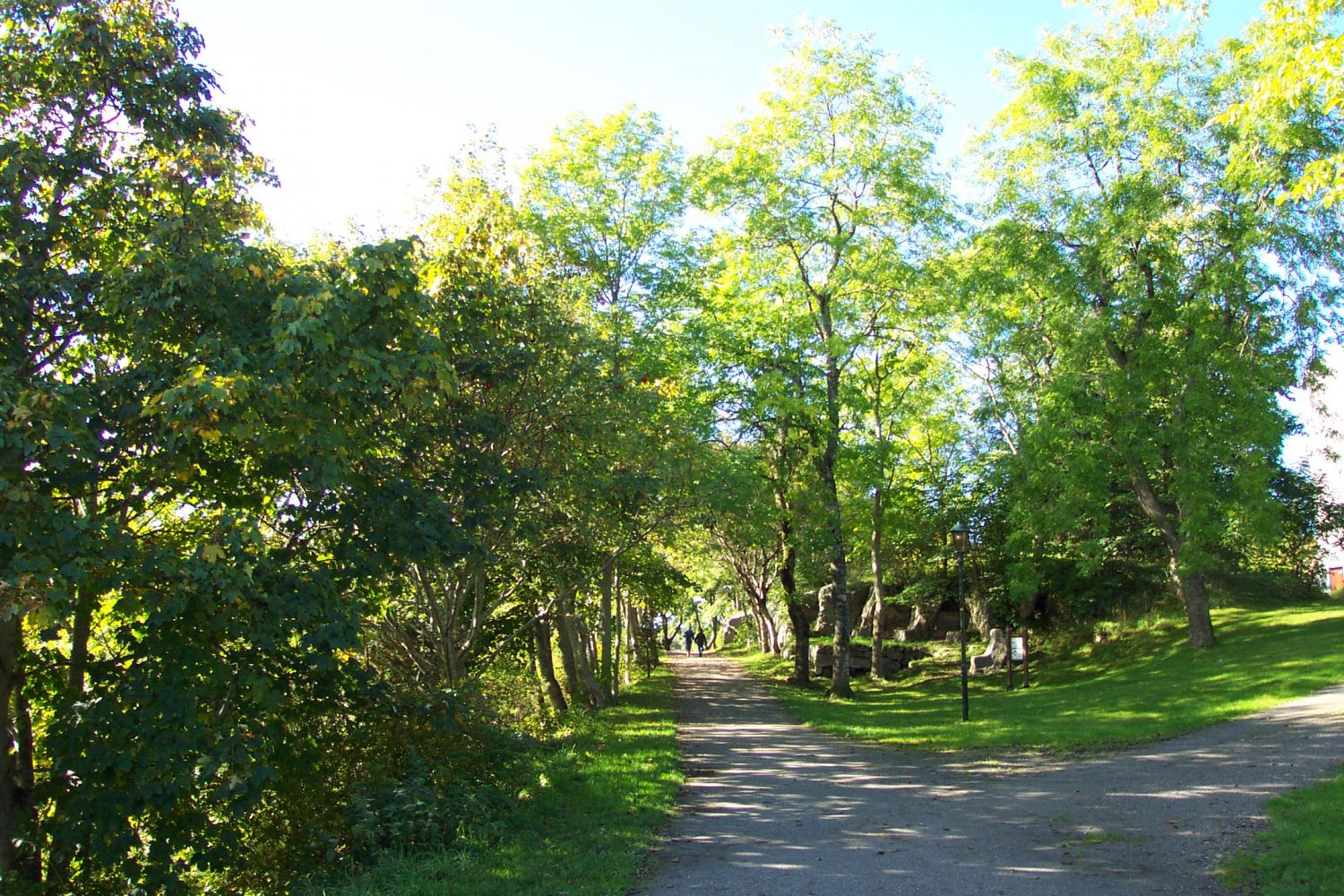
The trail to Klubba offers a great experience of the coastal landscape with the waves crashing on smooth rocks, as well as a number of nice rest areas with a view of the ocean.Kringsjå and Folkeparken are the major areas for outdoor activities in the centre of Kristiansund. Kringsjå was an old water collection facility, but is now an idyllic hiking area with good-quality walking paths. The contrast with bare rocks facing the ocean just a couple of hundred metres below is striking. Klubba and Vanndamman are located in the west- and south-facing coastal area. Bare rocks prevail in the north. Some sections are planted with forest. Several pools are located within the outdoor area. You will find Vanndamman in the area of the park. Vanndamman is a park and a hiking area. Along the coast you will find a number of good fishing spots as well as bays and smooth rock slopes which are ideal for swimming.
Route description
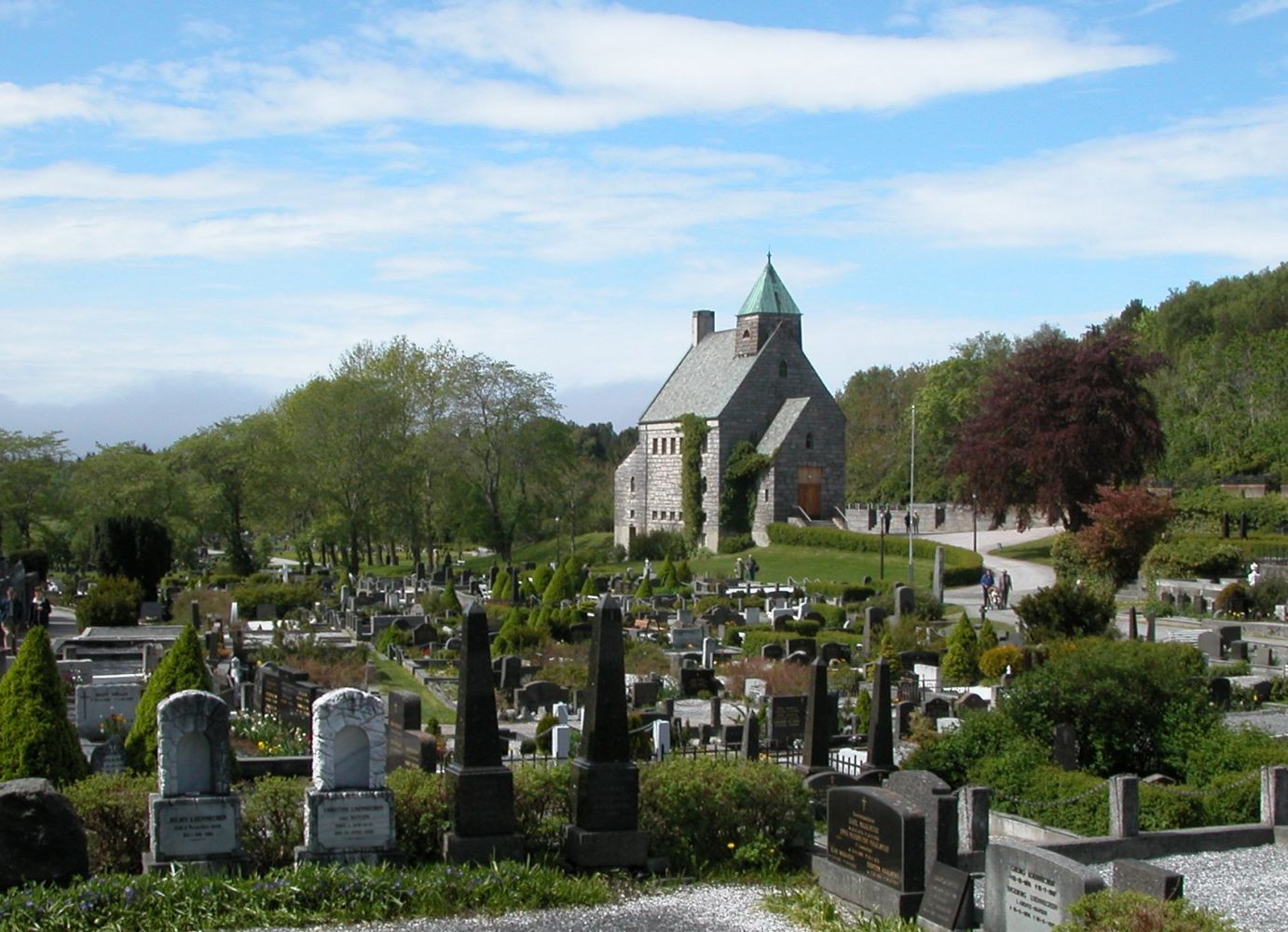
This is an easy trail. It is suitable for wheelchair users and people with baby carriages. It is a perfect walk for the whole family.Follow the gravel road as it swings left through the graveyard. From the end of the graveyard, the hiking trail continues straight ahead and goes down to Klubbneset where you will find a trail postbox.You will find several paths and alternative routes in the area. The shortest walk is to go down to the trail postbox and then up again. You can also choose to go further and explore the rocky slopes, continue further to crags, and follow one of the old roads up to the Vanndamman park.
Arrival and parking
Drive along National Road 70 (Rv70), Langveien towards the centre. Turn off onto Hagbart Brinchmannsvei road. Then take another turn to the left onto Kaasbølsvei road. You can park your car at the end of Kaasbølsvei. You are now near the Kirklandet graveyard. This is where the hike starts.
No parking fee applies.
Hiking route
Green
Distance
1,22 km one way
Elevation
4 m
Duration
30 min.
Sesong
Winter, Spring, Summer, Autumn
Highest Point
60 masl
Signage
Signed
Mobile coverage
Map route
Surface type
Distance
Grus
0,6
Public transport
The trail destination is located in Kirklandet in the centre of Kristiansund. Bus. Please see http://www.177.no