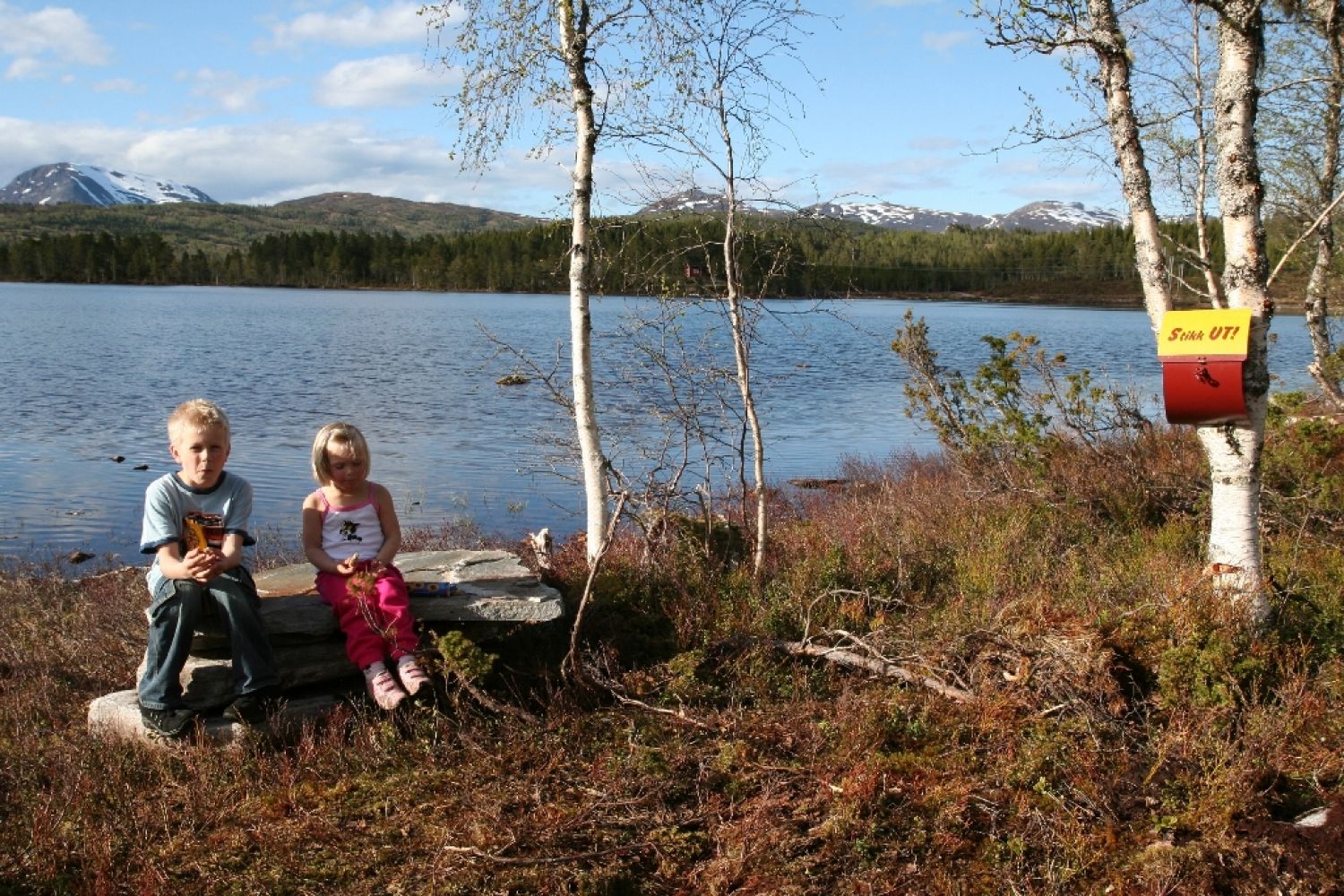
Kleivevatnet - south side
Molde
Easy route in a scenic area.
The route starts at the parking area at Fursetfjellet approx. 190 m.a.s.l. Kleivvatnet lake is located 204 m.a.s.l. in an eastern direction. Follow the marked road and trail, and continue along the bridge over the Skalleelva river. The route leads mostly along the road and is accessible for bicycles and prams. When you reach Kleivevatnet, we recommend that you don't head to the hut immediately, but instead continue south and walk around the lake first.
If you choose the short version of the route, driving from Kleive (remember the toll fee) and up to the lake, you can still have a nice day in the area. There is a footpath around the entire lake and the area is wheelchair accessible. There are viewpoints, fishing spots and a nature trail. There is also a bathing area and grill cabin. The cycling route from Fursetfjellet is recommended. Map coordinates: N: 6965515.0 Ø: 431643.0 Contact person: Gunnhild Meringdal – mobile: 41676129
Fursetfjellet.
From Molde: Drive along the E39 towards Kristiansund. Continue along Hjelsetveien until you turn off to the left in the direction of Fursetfjellet, towards Batnfjorden and Kristiansund.
From Eidsvåg or Angvika: Drive in the direction of Molde and the Fv62. Continue past Kleive. At Oppdøl there are signs for Batnfjorden and Kristiansund. Take off on the Fv62, then turn right and continue on the E39.
Drive about 5 km. There is a parking area to your right. From Kristiansund and Batnfjorden: Drive along the E39 from Batnfjorden and up Fursetfjellet in the direction of Molde.
Distance
10,65 km one way
Duration
2 t. 50 min.

This route is wheelchair accessible when starting from Kleive. This route description uses Fursetfjellet as a starting point.
 Driving directions
 Route data
GeoJSON
Route data
GeoJSON