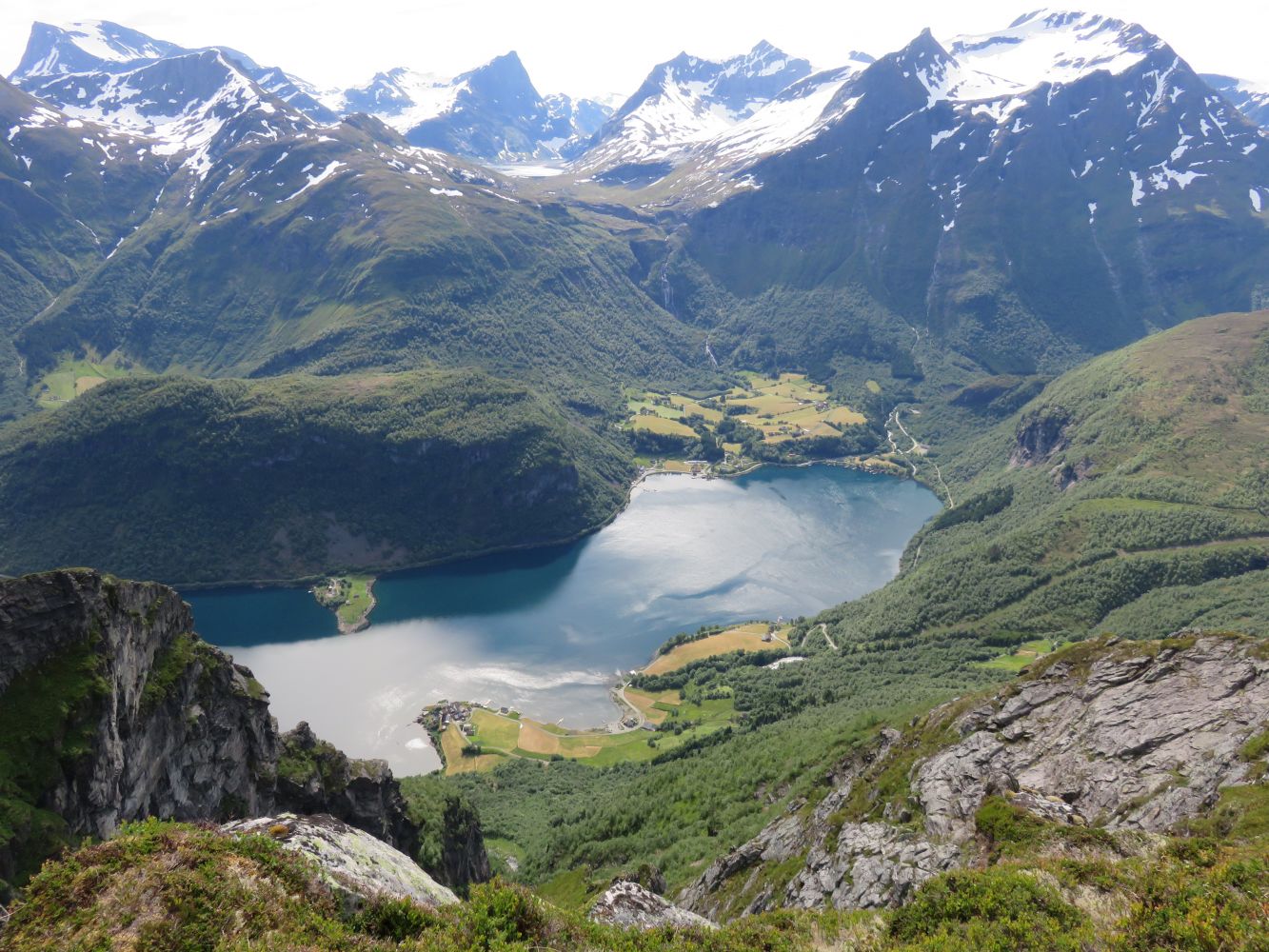
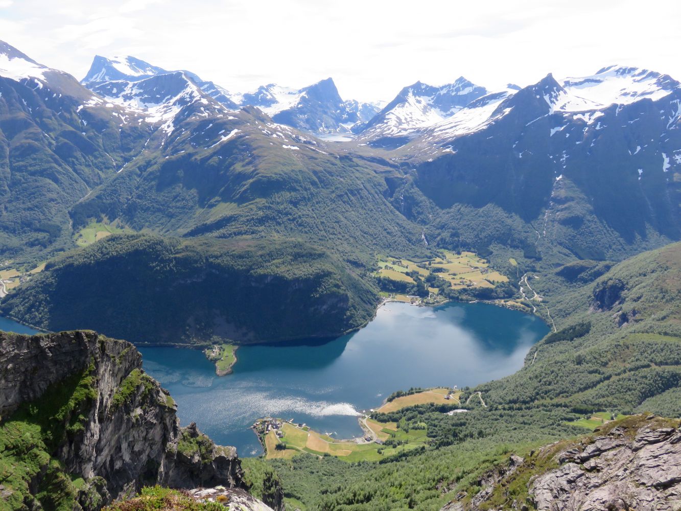
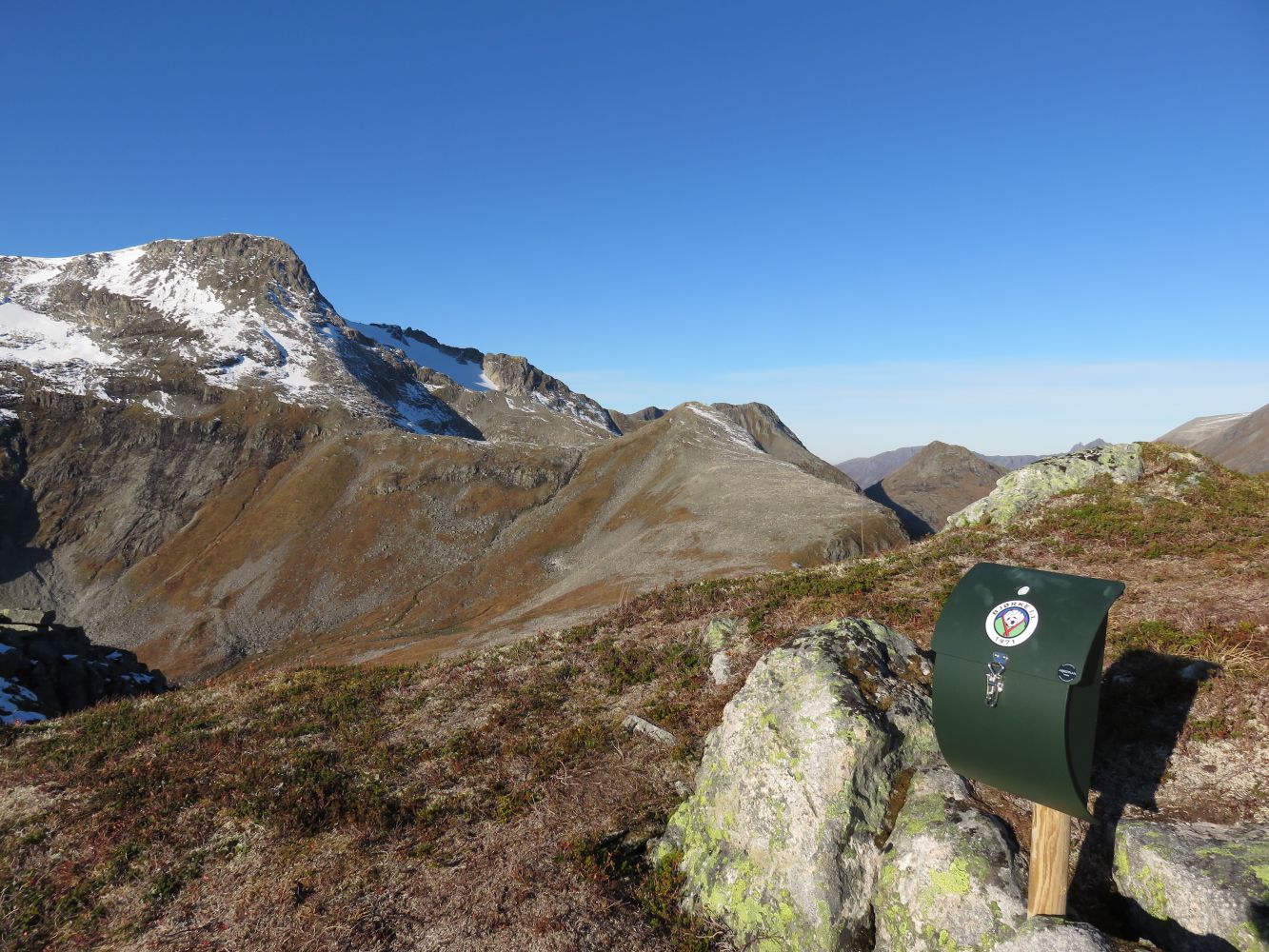
This scenic hike offers a fantastic view of the inner part of the Hjørundfjorden/Storfjorden, and the view down to the villages of Finnes and Kalens is especially remarkable. You will find the trail journal at 1028 m a.s.l., which is the highest point on the route, but if you want to get the best view, walk for a couple of hundred metres further until you reach the edge of the mountain just above Finnes.
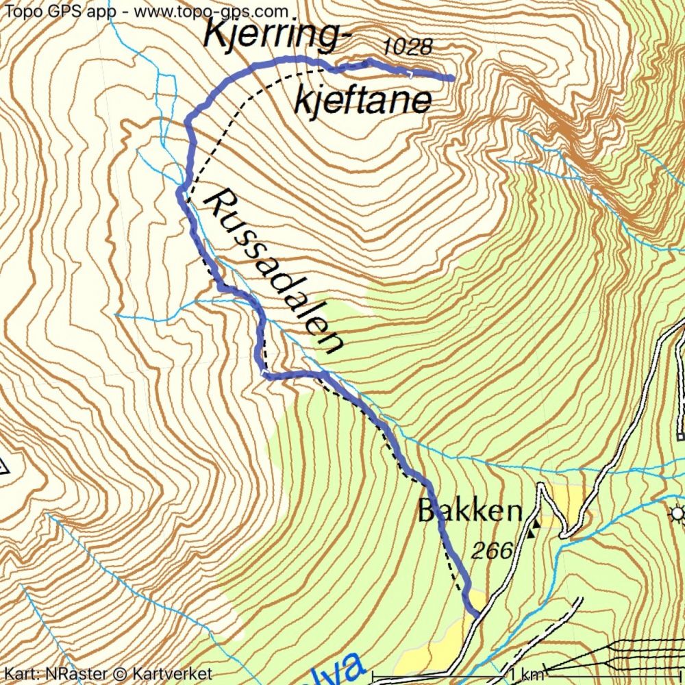
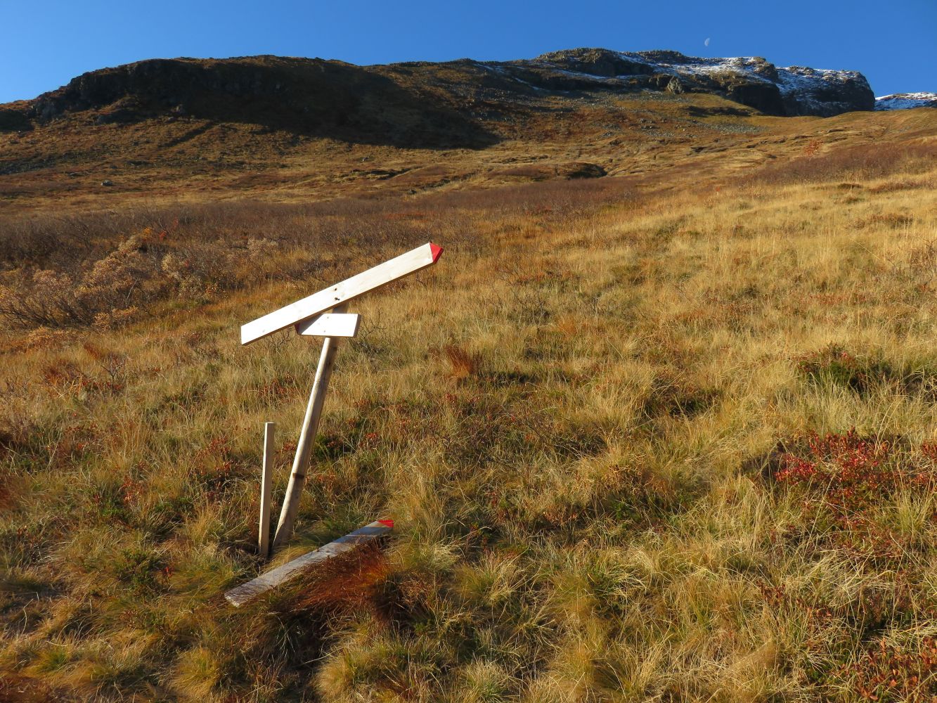
The hike starts at the height of about 300 m a.s.l. and takes you from Bakkedalsvegen Road up along the river in the direction of the Ryssadalen Valley and to the mountaintop Kjerringkjeftane. The starting point is signposted at the upper side of the road. The initial section of the path can sometimes be slightly wet, but it dries out as you walk further up. It is usually easy to cross the river except for the periods of high water. For a longer hike, turn left slightly before crossing the river and walk up to another summit, Dukhornet. In that case, walk down from Dukhornet to the Russadalen Valley and then up to Kjerringkjeftane.
If you are driving from Kalvatn/Kvivsvegen, follow Skjåstaddalen Road until you reach Bjørke. Turn left towards Finnes at the junction below the Bjørke school and drive up Bakkedalsvegen Road. Slightly above the village of Finnes, you will see a box where you can pay the toll fee of NOK 45. You can pay by cash or SMS.
Park your car along the road. Make sure you do not block other drivers when parking.
Duration
3 t. 25 min.

Sesong
Spring, Summer, Autumn
Signage
Both signed and marked
| Surface type |
Distance |
| Sti |
2,5 |
You can pat the toll fee by cash or SMS.
 Driving directions
 Route data
GeoJSON
Route data
GeoJSON