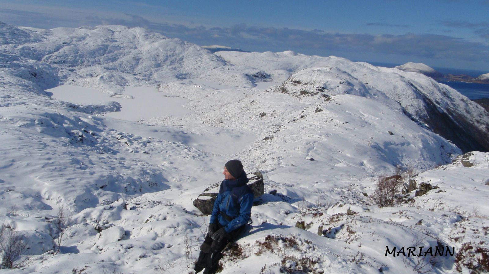
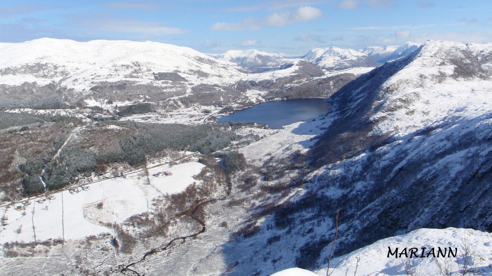
Keipen is a mountain peak on the south side of Gursken. It offers a scenic view of Gursken and the lakes Skogevatnet and Middagsvatna/Mørkevatna. Because this ski trail to Keipen follows the valleys inland, its elevation is only about 480 metres above sea level, while the hiking trail that follows mountain ridges has an elevation of about 700 metres above sea level.
The marked hiking trail to Keipen is not suitable for a ski trip because it follows mountain ridges. Here on the coast, mountain ridges are often free of snow, so make sure to use the GPS file and follow this trail description. The trail starts from the car park at the highest point of Drageskaret and follows the Langhamrane mountain ridge. Here, it may be best to keep to the north side, since Langhamrane itself is often free of snow. Once you reach the edge of the mountain, continue on the south side of Knottahornet and Sevtjønna and follow the valley towards Lake Langevetevatnet. Go between the two lakes, Langevetevatnet and Bjørkavatnet, and then between the two parts of Lake Middagsvatna. Follow the valley along the north side of the easternmost part of Middagsvatnet until you reach Keipen. The ski trail ends at the fitness trail post of Gursken IL. The summit of Keipen lies about 100 m to the east.
Park your car along County Road 61 (FV61), at the highest point of Drageskaret, between Gursken and Larsnes. The road is usually cleared from snow in winter.
Skiing route
Blue fjellski
Duration
2 t. 0 min

Lake Middagsvatna is also called Lake Mørkevatna.
Hiking map of Ytre Søre Sunnmøre, M711 1119 III, sunnmorskart.no
 Driving directions
 Route data
GeoJSON
Route data
GeoJSON