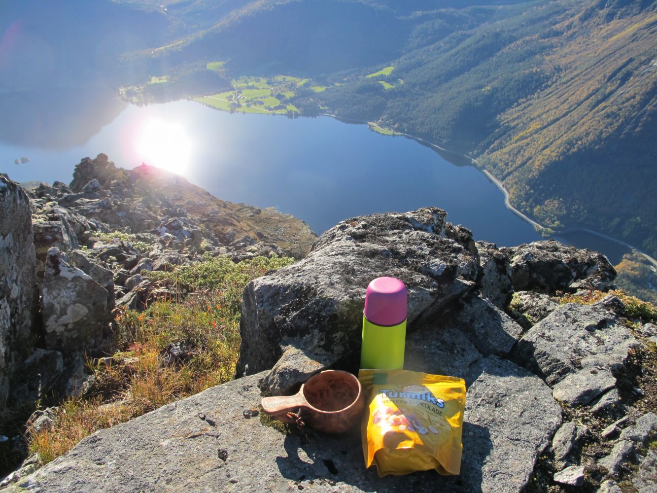
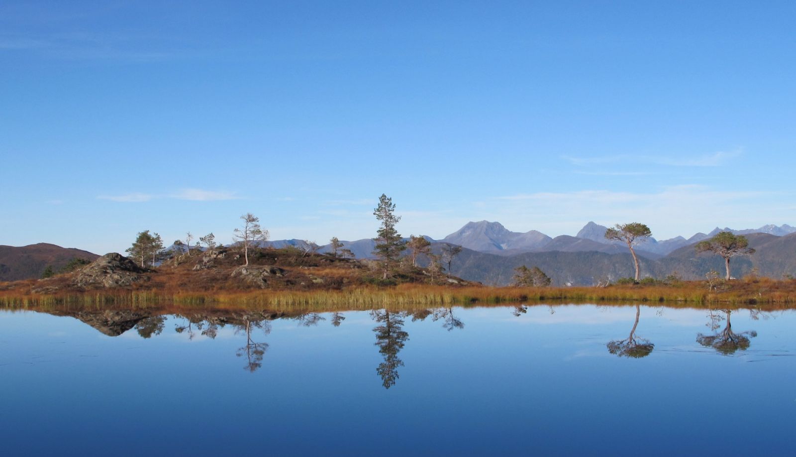
Keipen is a cone-shaped mountain top, and many people would agree that it is one of the most spectacular mountains in the municipality of Volda, especially seen from the Bjørkedalen side. The view from the top down to the Bjørkedalen Valley is fantastic. The trail runs through a beautiful pine forest and open landscape, primarily following a path of relatively good quality. You will also walk past several idyllic lakes and enjoy a great view along the entire trail.
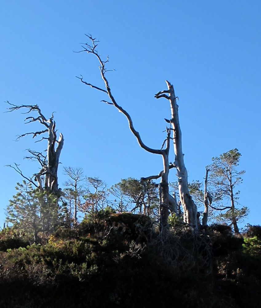
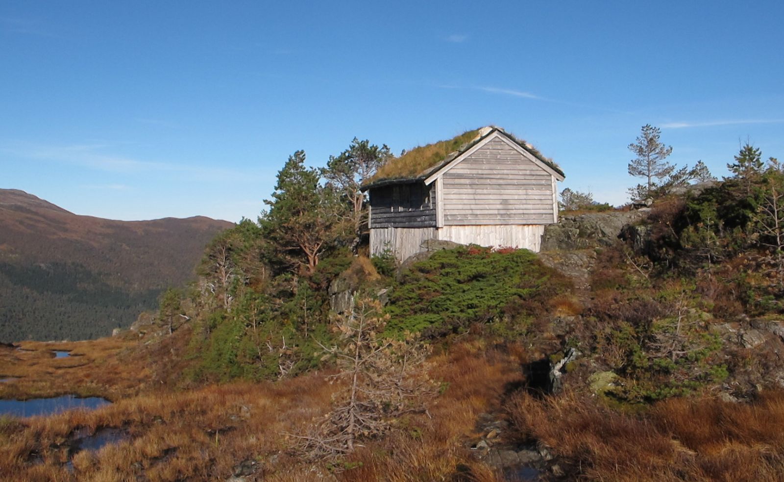
The start of the path is marked with a sign that reads “Heida. Keipen”. You will follow a good quality path all the way up to Heida. The path takes you through a beautiful pine forest, and if you use your imagination, you can see some animal-shaped figures among the pine trees. From Heida, the path may not be clearly seen at times, but you will find it again if you look around. The path splits just after the cabin in Heida. Follow the path that goes straight ahead. You will soon come to an abandoned cabin. Walk on the left side. Just after that, you might easily miss the path, but you will find it again by following the ridge. The path is also partly marked with cairns. The path continues through the final section along the ridge to the west, but it may not be clearly seen at times. You will find a trail journal at the cairn that marks the outermost point of the ridge. Some people might consider the final section that leads to the cairn to be too open. If you do not want to walk there, you can safely stop at some point along the ridge just before the cairn. You will get a fantastic view anyway! As you walk back, it might be difficult to find the path after you pass the cabin. If you lose the path, walk back over a rocky hill, and you will find it again. It is also wise to notice where the path goes while you walk up.
Take a ferry from Volda to Folkestad and drive along E39 in the direction of Nordfjordeid. Once you reach Straumshamn, follow County Road 651 (FV651) that goes straight ahead towards Fyrde. In the innermost part of the fjord just after the end of the 50 km/h speed zone, you will find a good quality forest road. Follow this road up to the Lisjedalen Valley. The road is marked with a sign that reads “Brundalsstøylen”. You can easily find a parking space at the end of the road where the hiking path begins. The toll fee is NOK 30 for a private car.
You can park your car at the start of the path. The toll fee is NOK 30 for a private car.