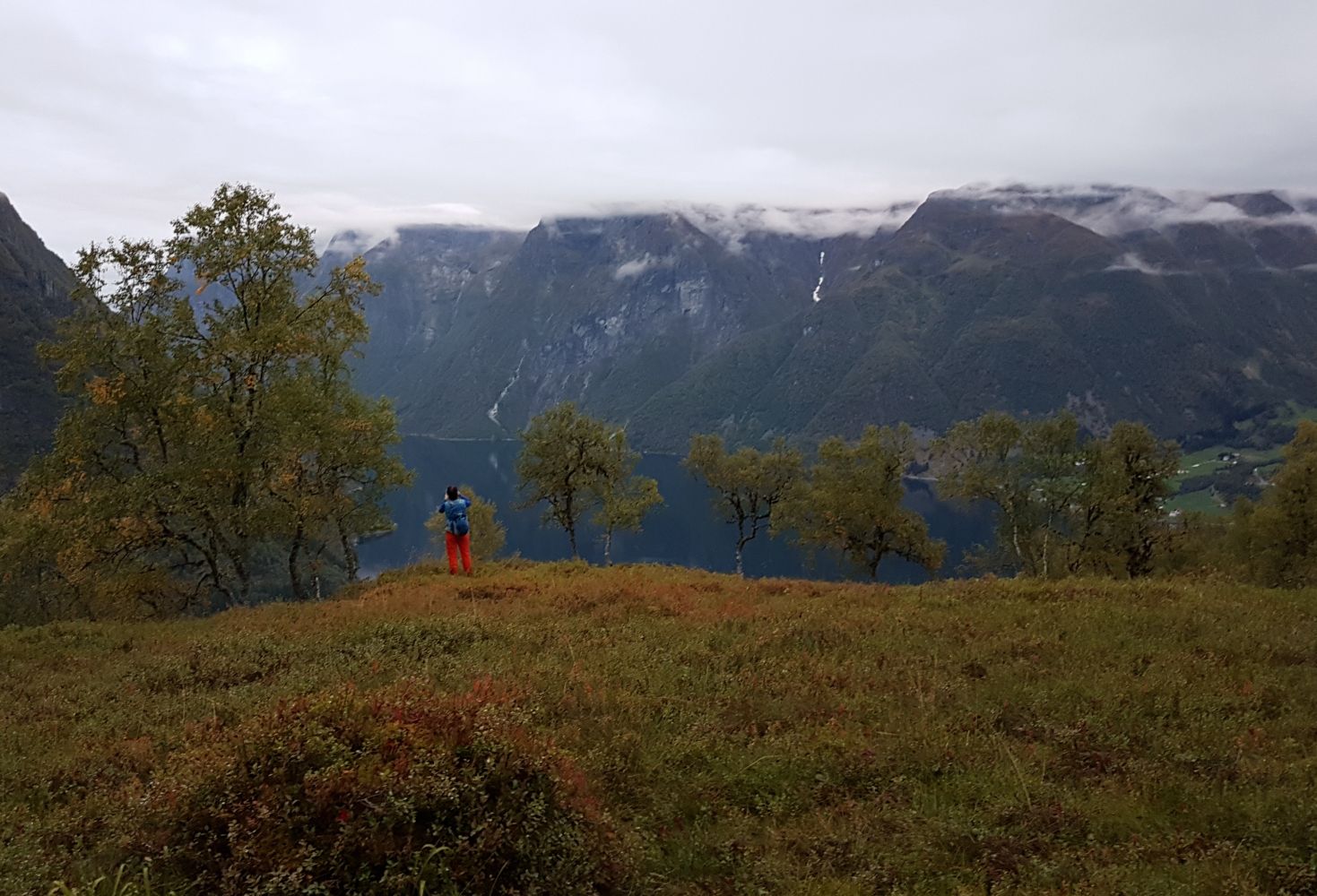
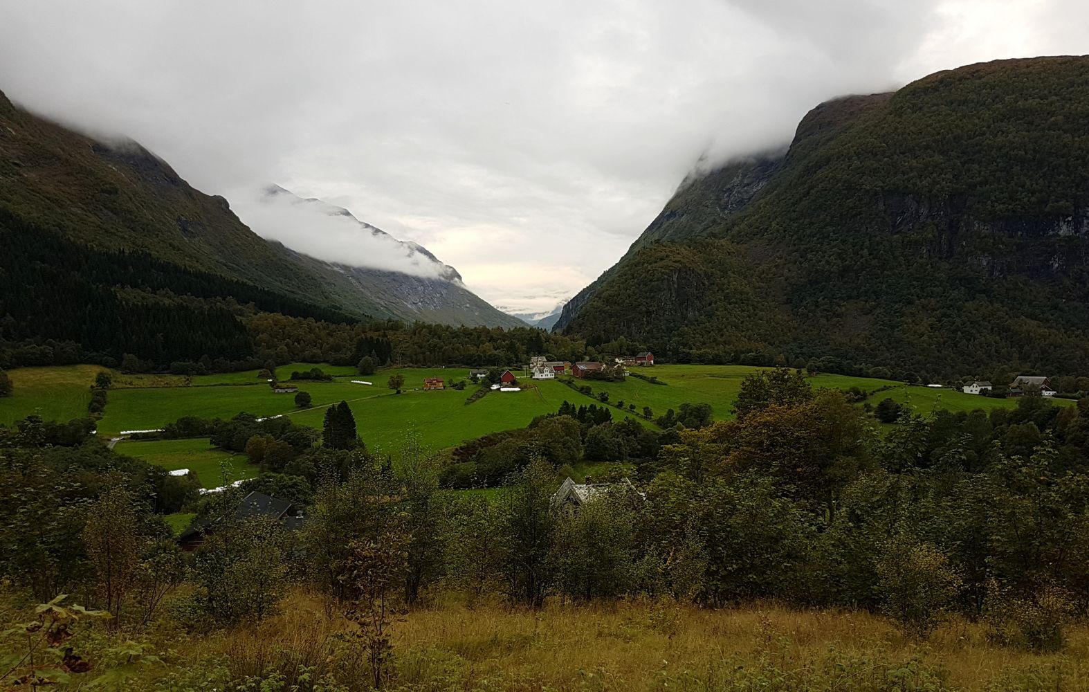
An easy route that offers some super views once you reach Kamben. Suitable for everyone, also as a family hike.
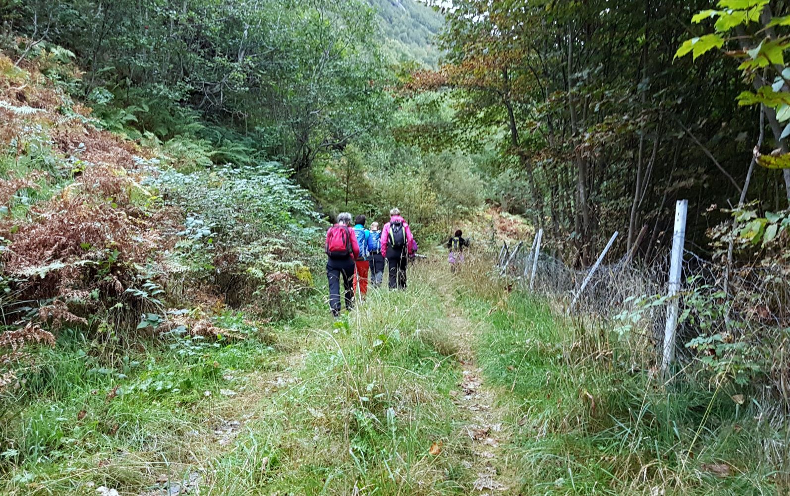
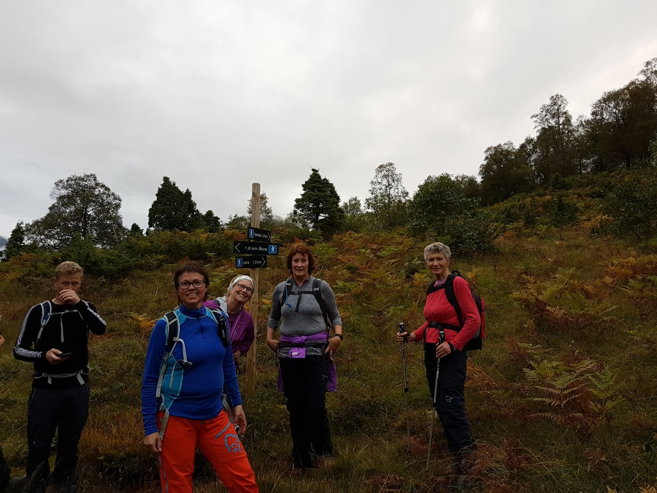
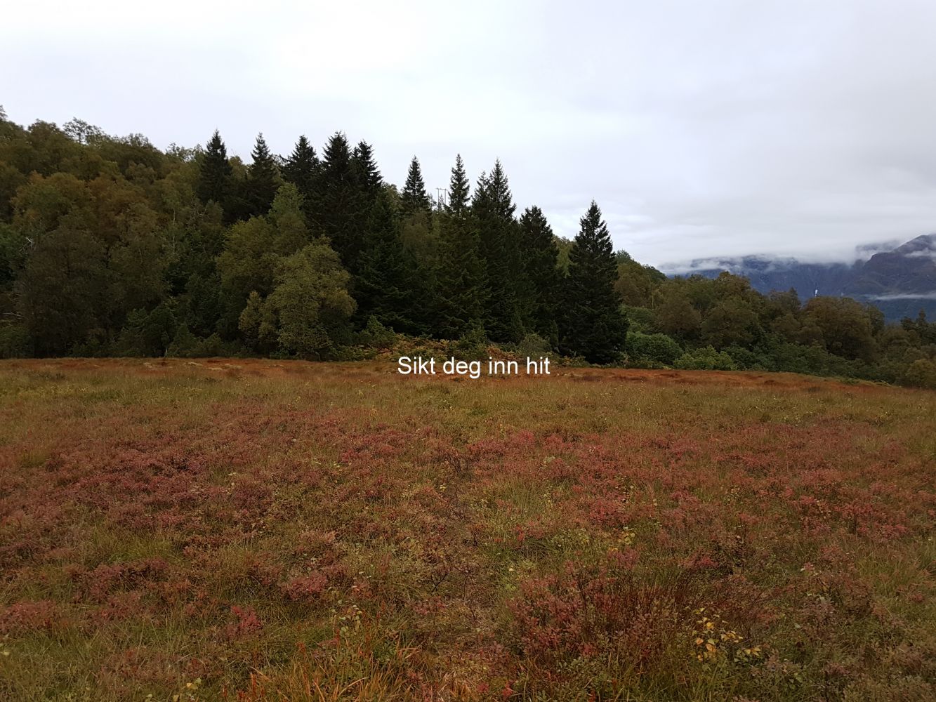
Start at Bakketunet. Here there are signs to Kamben and Leira. Follow the forest road just 1.5 km. At the end of the forest road, turn left onto the trail. You will come to a junction where the trail divides and you can choose whether to head to Kamben or over to Leira. The trail to Kamben is marked. You will eventually come to a marsh area. Here the trail may be difficult to see, but look for the markers to help you. At Kamben, there are good views of the fjord and Viddal.
Drive along the E39 from Volda towards Hornindal/Stryn. Just before the Kvisv tunnel, exit towards Bjørke and Viddal in Skjåstaddalen. After about 10 km, you will come to a crossroad. Turn right at Bjørkegardane, at the sign for Tyssefossen. Continue following this and turn right at Åkre after 1.2 km, just 300 m, until you see the trailhead (look for the trail sign). There is parking by the trailhead. Make sure you aren't blocking others. Note that the established parking area (P-plass) is reserved for Bakketunet.
Distance
5,25 km both ways
Duration
2 t. 10 min.

Sesong
Spring, Summer, Autumn
Signage
Both signed and marked
| Surface type |
Distance |
| Sti |
2,5 |
You can combine the route with a visit to Bakketunet, but check the opening hours.
 Driving directions
 Route data
GeoJSON
Route data
GeoJSON