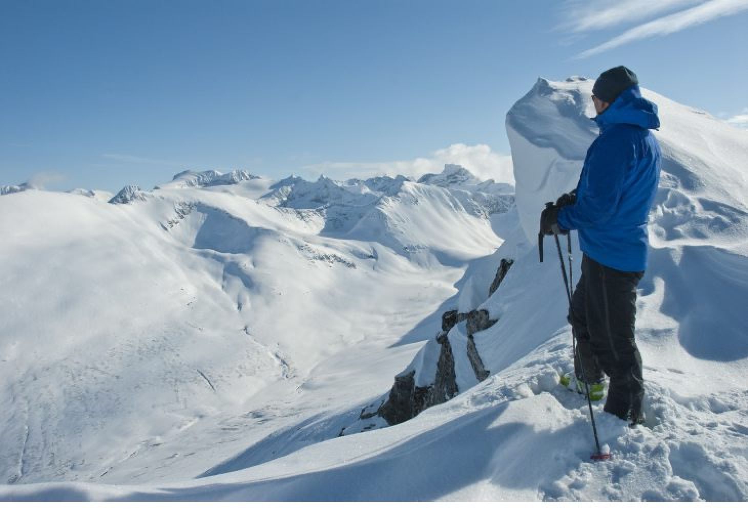
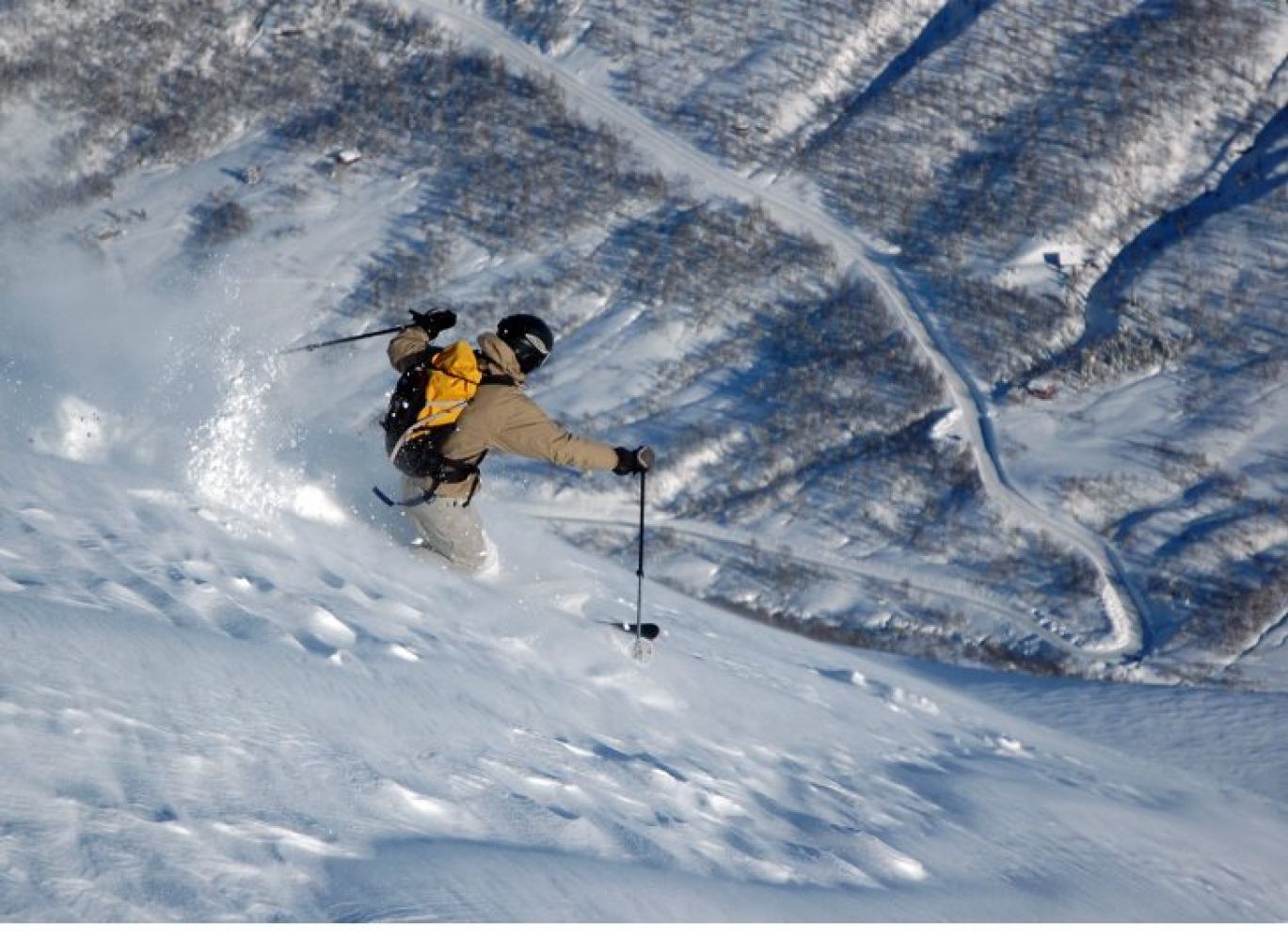
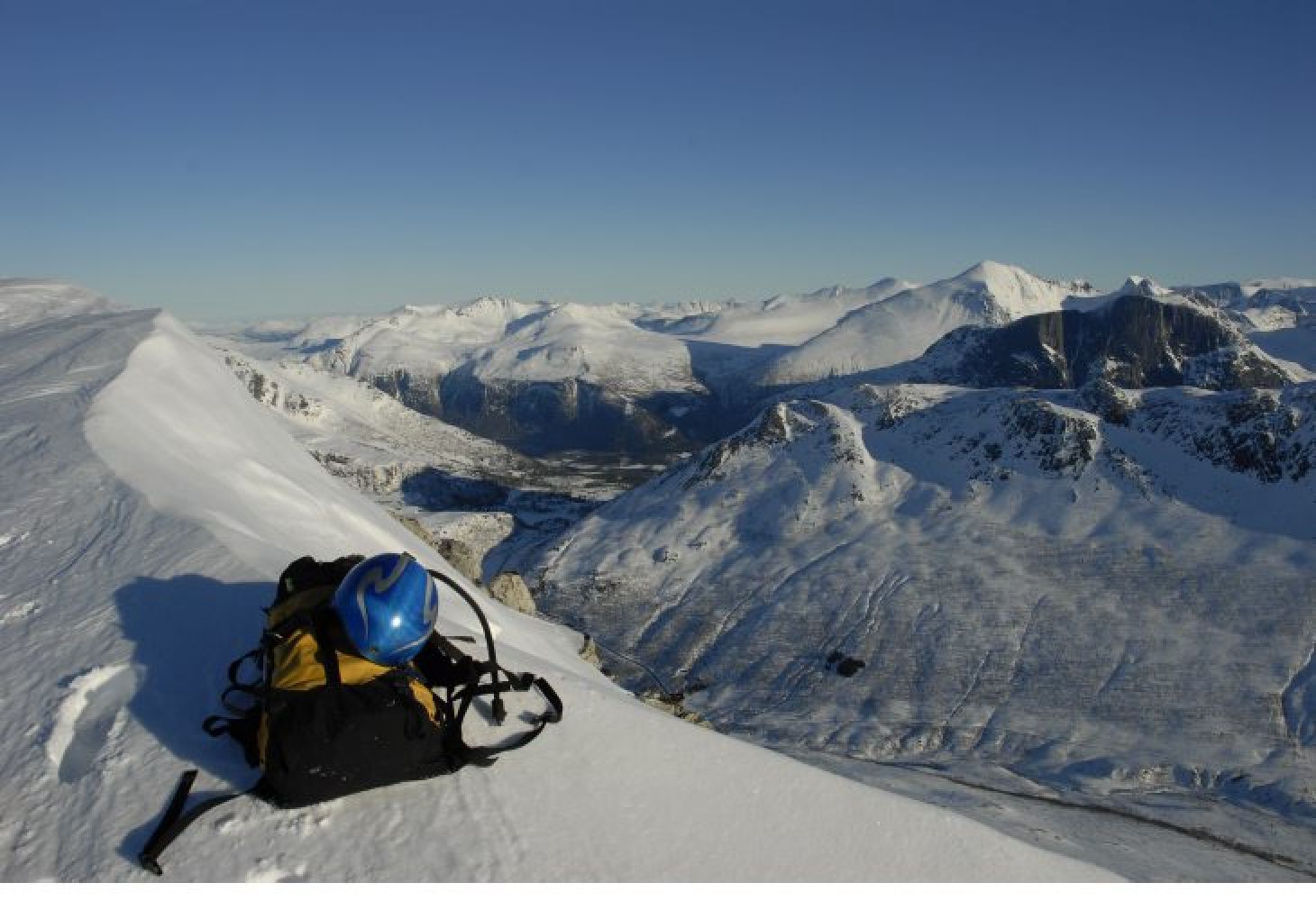
Vistdal/Eresfjord: This scenic ski trail gradually ascends to the mountaintop at 1279 m a.s.l. The panoramic view from the top is hard to forget. You can then enjoy skiing in powder snow for about 850 metres downhill! The final section goes through an open birch forest. An alternative to following the farm road through the Håndedalen Valley is to cross the river just below the car park and go right up through the forest from there. Crossing the river is usually possible only when it is frozen or there is very much snow. The mountaintop Kalvgjeltinden is not far from Vasstindbu which is worth a detour!
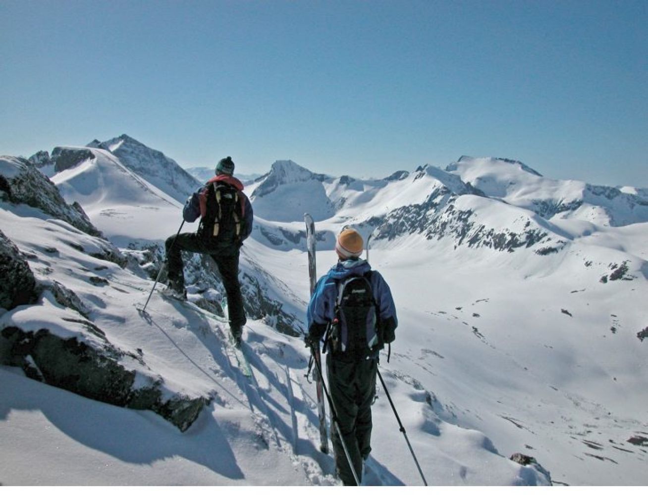
After parking your car by RV660 at about 400 m a.s.l. in the Vistdalen Valley, put on your skis and follow the farm road (past the boom gate) through the Håndedalen Valley. After about 850 metres, you will see two old farmhouses on the other side of the river. This is a mountain farm called Haustengsetra, and you need to cross over the bridge just below it. Turn off the farm road and ski down towards the river. You will pass the farmhouses and move through the forest fairly straight up. Once you are above the tree line, avoid approaching the large cirque on the left below Kalvgjeltinden. There may be an avalanche risk there. It is safer to follow the less snowy ridge on the right side. The final section of the trail is both steeper and narrower. You might have to carry skis on your back if the surface is icy and hard to ski on. Alternatively, you can leave your skis here.
You can drive to the starting point either from Vistdal or from Eresfjord. Start from FV660 furthest in the Vistdalen Valley, just above the last sharp turn of the road near a small car park. Kalvgjeltinden is the sharp peak you will see on the other side of the river.