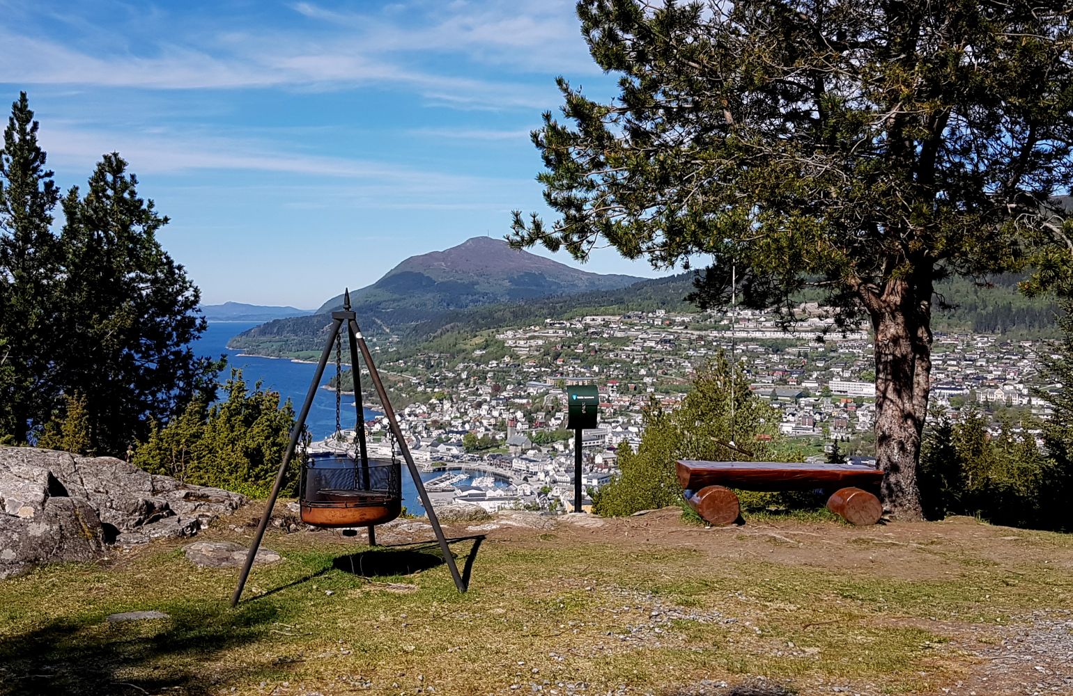
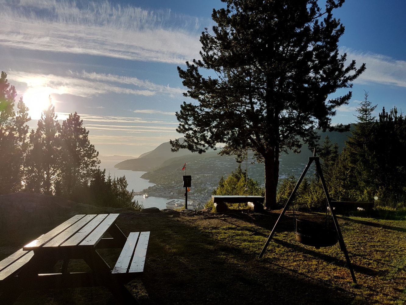
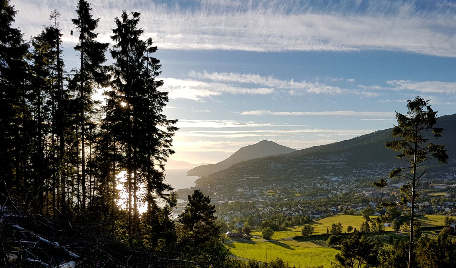
Kalsethola is an amazing viewing point that offers a view towards the centre of Volda Municipality. It is equipped with benches, a barbecue place, and a swing. A star is lit up just above Kalsethola in early December, which makes it an extra popular hiking destination this time of the year.
Route description
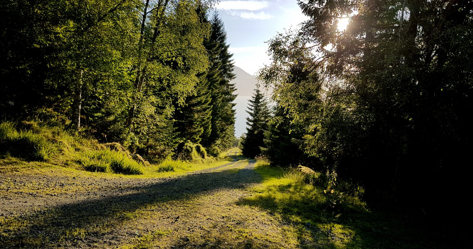
Start walking from the car park next to the Rotsethorn Tunnel. A gravel-surfaced hiking trail begins at the eastern end of the car park. Walk up the hill. After walking through the gate, turn right (follow the sign) and continue up towards Kalsethola. The trail goes over the entrance to the tunnel. On your way back, you can choose to follow the same route or walk further down towards Lake Rotevatnet instead of turning back down to the starting point (at the gate). This will make your hike slightly longer. The forest on your way down to Lake Rotevatnet is cut down, so you will clearly see where to go. When you come down onto the road around Lake Rotevatnet, turn left and walk through a gate. Follow the road west for about 350 m and take the first left turn up to the starting point. You can also turn right after about 150 m. You will then come to the Volda Stadium/Stadium Park (Stadionparken), and you can walk further down the Elvadalen Valley or go to the Årneset swimming area.
Please remember to close all the gates behind you! Some sheep are grazing in the area.
Access and parking
Drive along E39 from the centre of Volda towards Stryn. The trail starts just before the Rotsethorn Tunnel. There is plenty of space to park your car there.
Hiking route
Green
Distance
2,59 km one way
Elevation
129 m
Duration
1 t. 0 min
Sesong
Winter, Spring, Summer, Autumn
Highest Point
172 masl
Signage
Signed
Map route
Surface type
Distance
Grus
2,59
Public transport
Walking distance for the majority of people in the centre of Volda.
Bus service from Volda in the direction of Stryn
http://www.frammr.no
Other
From Kalsethola, you can follow a steep path up to Mount Rotsethornet. You will find a description of this trail on morotur.no
Map
Tourist map of Volda. You can buy the map at the Intersport or Norli shops in Volda.