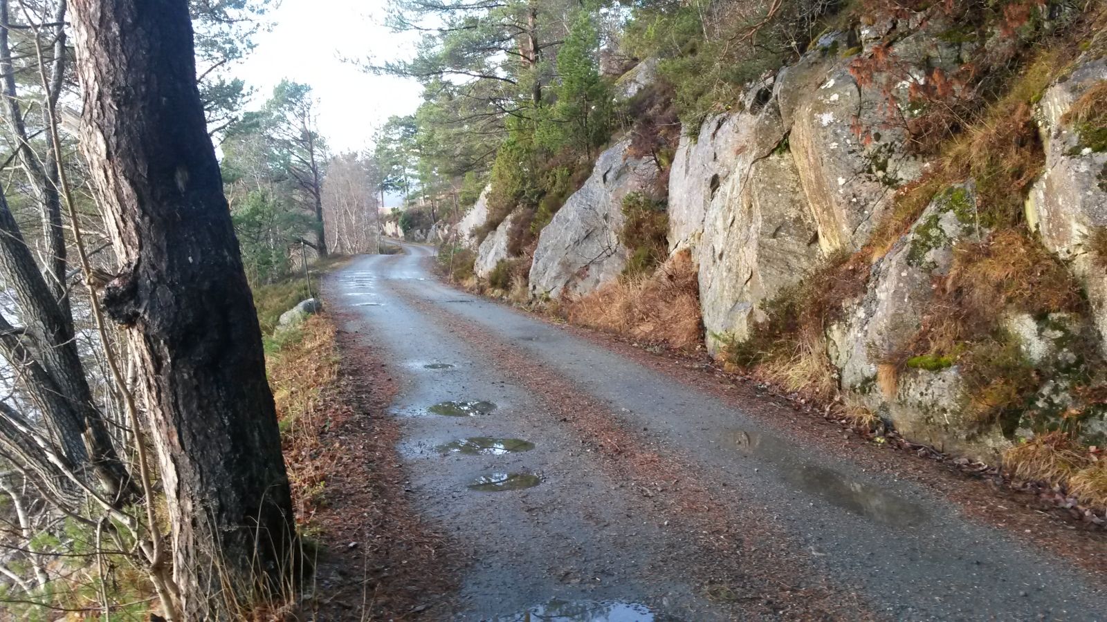
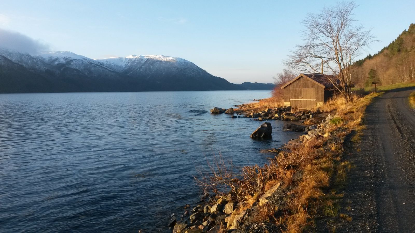
This easy hiking trail runs along the scenic coast of the Bøfjorden. The trail follows a gravel road the entire time so it is easily accessible for people with strollers or on electric wheelchairs. Parts of the road come all the way down to the seashore so you will get to enjoy an amazing fjord and mountain view.
Route description
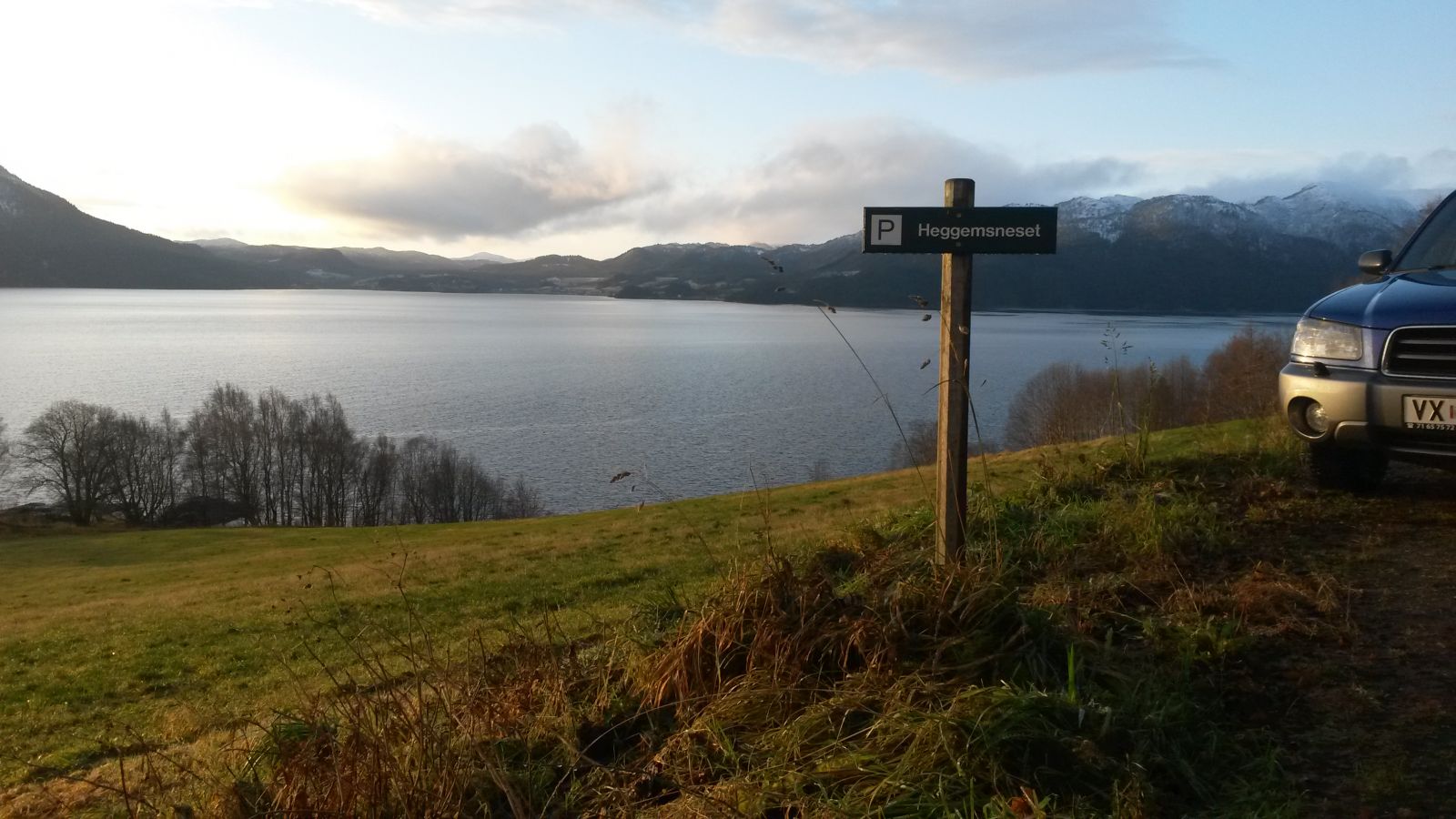
Drive to Bøfjorden and continue straight ahead at the junction in Settem. Park your car at the designated area at Heggemsneset and follow the gravel road along the seashore until you reach Kallset.
Access and parking
Leave your car at the signposted car park at Heggemsneset.
Hiking route
Green
Distance
4,1 km both ways
Elevation
31 m
Duration
1 t. 10 min.
Sesong
Winter, Spring, Summer, Autumn
Highest Point
62 masl
Signage
Both signed and marked
Map route
Surface type
Distance
Grus
4,1
Map
The trail is marked according to the national standard. The Bøfjorden Sports Association (Bøfjorden IL) set up a postbox with a trail journal near Kallset.