Jutevatnet, Ørskogfjellet
Vestnes / Ålesund
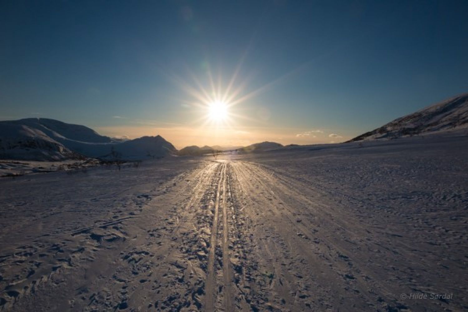
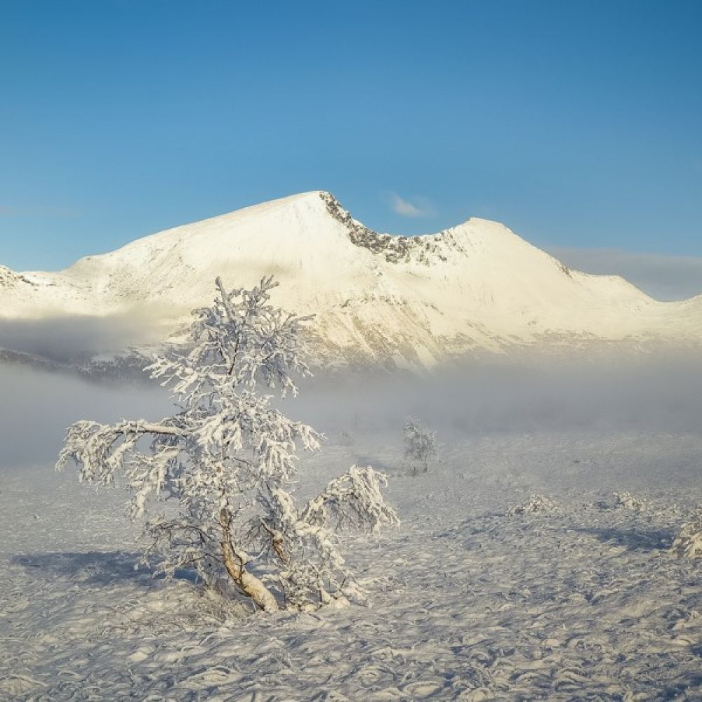
This is a popular ski trail for the entire district. The trail follows a gravel road that leads into Syltesetra and continues along a summer path all the way to Lake Jutevatnet. It offers a beautiful view in all directions. Among other things, you will see the mountaintops Næremstindane and Sprovstinden. The ski terrain is fantastic!
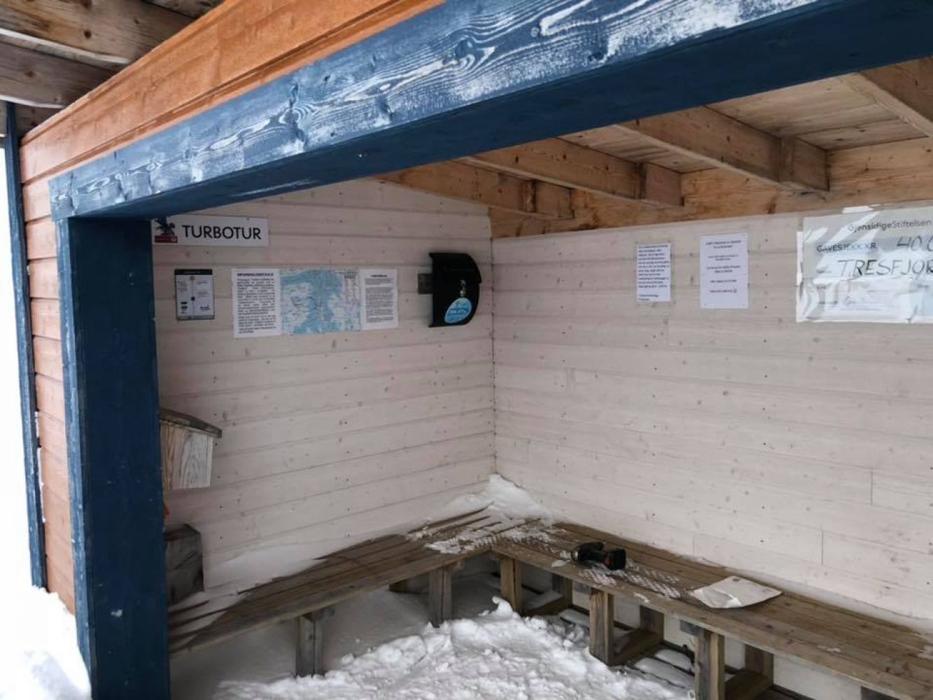
The trail starts at the large car park on Ørskogfjellet, on the border of Ørskog and Vestnes municipalities. There is a toilet next to the signpost. The ski trail begins here and gradually climbs up to 400–500 m a.s.l. Then there is a slightly steeper climb before the trail swings north. From here, the trail gradually climbs up to Måslia that lies at 480 m a.s.l. Continue further into the mountain terrain through the amazing open landscape towards the gapahuk shelter. The ski trail gradually climbs up for another 1.5 km and runs gently downhill to the beautiful mountain shelter by the lake.
The trail starts from the car park on Ørskogfjellet along E39 on the border of Ørskog and Vestnes municipalities. Car parking is free of charge.
Duration
2 t. 5 min

Mobile coverage
Partially
| Surface type |
Distance |
| Preparert med tråkkemaskin |
4,9 |
Nettbuss bus service every hour
 Driving directions
 Route data
GeoJSON
Route data
GeoJSON