Julneset is a state-protected outdoor area with plenty of opportunities. You can take a nice walk, find a beautiful viewing point, have a barbecue at the seaside, discover local cultural sites or take a swim. The area offers various opportunities for everyone, and it is an exciting place to explore for people of all ages. The trail is suitable for both walking and cycling. If you are coming from the centre of Molde, you also have an opportunity for a “hike before the hike”. There is a 8-km long walkway/bicycle path that is signposted from the centre of Molde all the way up to Julneset.
Route description
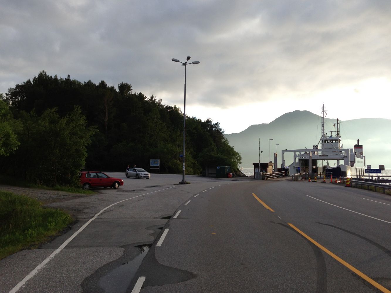
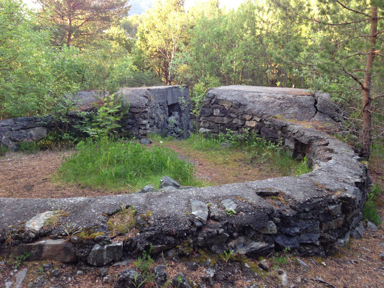
Park your car at the ferry terminal in Mordalsvågen. Follow the hiking trail from the car park into the Julneset outdoor area. Once you are at the junction near the toilet building, follow the road that turns slightly to the right in the southern direction. Follow the hiking trail that leads to the gun emplacements on the Julneset Spit. The Stikk Ut trail postbox is set up at the end of the trail, and you will easily spot it. If you have a baby carriage or a wheelchair, it is better to start the trail from the top down. In that case, you will avoid climbing a 50-meter long steep hill with poor gravel. Alternative starting point: After having turned off from the main road in the direction of Mordalsvågen, take the turn to the left onto the gravel road once the walkway ends. Follow the road all the way to the boom gate and park your car there. After the boom gate, walk until you arrive at the toilet building. Turn left and follow the hiking trail to Julneset.
Arrival and parking
The trail starts from the car park by the ferry terminal in Mordalsvågen or from the boom gate after the turnoff before the ferry terminal.
You can park your car free of charge at the ferry terminal or by the boom gate.
Hiking route
Green
Distance
0,73 km one way
Elevation
43 m
Duration
30 min.
Sesong
Winter, Spring, Summer, Autumn
Highest Point
38 masl
Signage
Signed
Map route
Surface type
Distance
Grus
0,7
Public transport
There is a bus connection from Molde to Mordalsvågen. Please go to 177mr.no to check the timetable.